Mountain · 1 route
Bernardo Mountain
1,148 ft · California
- Summit
- 1,148 ft
- Routes
- 1 way up
Route up Bernardo Mountain
About Bernardo Mountain
Bernardo Mountain is a summit in California, about 2 miles from the community of Del Dios. Two trails begin within a third of a mile: the Bernardo Mountain Summit Trail, which heads for the top, and the Bernardo Mountain Lake View Trail, both 0.3 miles away. Spring and late fall bring the most moderate conditions, with typical averages from the nearby Rancho Bernardo weather station showing April highs around 70°F and lows near 51°F, and November close to 71°F and 50°F. Summer warms into the low 80s, with August highs averaging about 83°F. Beyond the mountain's own trails, the Lake Hodges North Shore Trail and the Coast to Crest Trail both lie about 0.9 miles away. West Bernardo Hills, a climbing area, is about a mile off.
Forecast on Bernardo Mountain
Daily highs and lows, wind and the chance of precipitation at the summit and route start for the next 7 days, from the Open-Meteo model.
Questions about Bernardo Mountain
How tall is Bernardo Mountain?
1,148 ft (350 m).
How many routes go to the summit of Bernardo Mountain?
One: Bernardo Mountain Summit Trail.
Mountains nearby
 Twin Peaks1,302 ft · California3 routes5.8 mi awayPhoto: Perdelsky at English Wikipedia, Public domain (via Wikimedia Commons)
- Woodson Mountain2,883 ft · California1 route7.8 mi away
- Stanley Peak1,976 ft · California1 route8.6 mi away
 Iron Mountain2,677 ft · California1 route10 mi awayPhoto: Robert DuHamel, CC BY-SA 3.0 (via Wikimedia Commons)
 Cerro de la Calavera512 ft · California1 route13 mi awayPhoto: ZachR10, CC BY-SA 4.0 (via Wikimedia Commons)
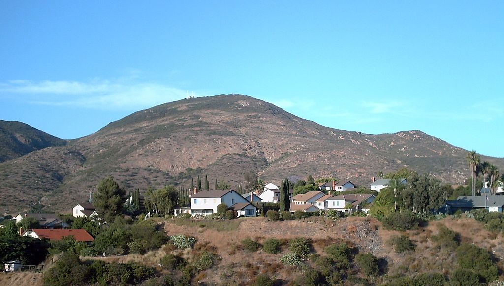 Cowles Mountain1,587 ft · California2 routes18 mi awayPhoto: The original uploader was Rsduhamel at English Wikipedia., CC BY-SA 3.0 (via Wikimedia Commons)
Facts about this place
When to go
Best time to go: Year-round. The mildest months here, with typical highs of 66–83°F and lows of 44–64°F.
Typical monthly averages (not a forecast) from the Rancho Bernardo, CA weather station, 2.9 mi away. High / low in °F.
- Jan67° high46° low
- Feb66° high46° low
- Mar68° high49° low
- Apr70° high51° low
- May72° high55° low
- Jun76° high58° low
- Jul82° high63° low
- Aug83° high64° low
- Sep81° high60° low
- Oct77° high57° low
- Nov71° high50° low
- Dec66° high44° low
Nearby
 Bernardo Mountain Summit TrailHikingPhoto: NapoliRoma, CC BY-SA 4.0 (via Wikimedia Commons)0.3 mi
 Bernardo Mountain Lake View TrailHikingPhoto: milst1, CC BY 2.0 (via Flickr)0.3 mi
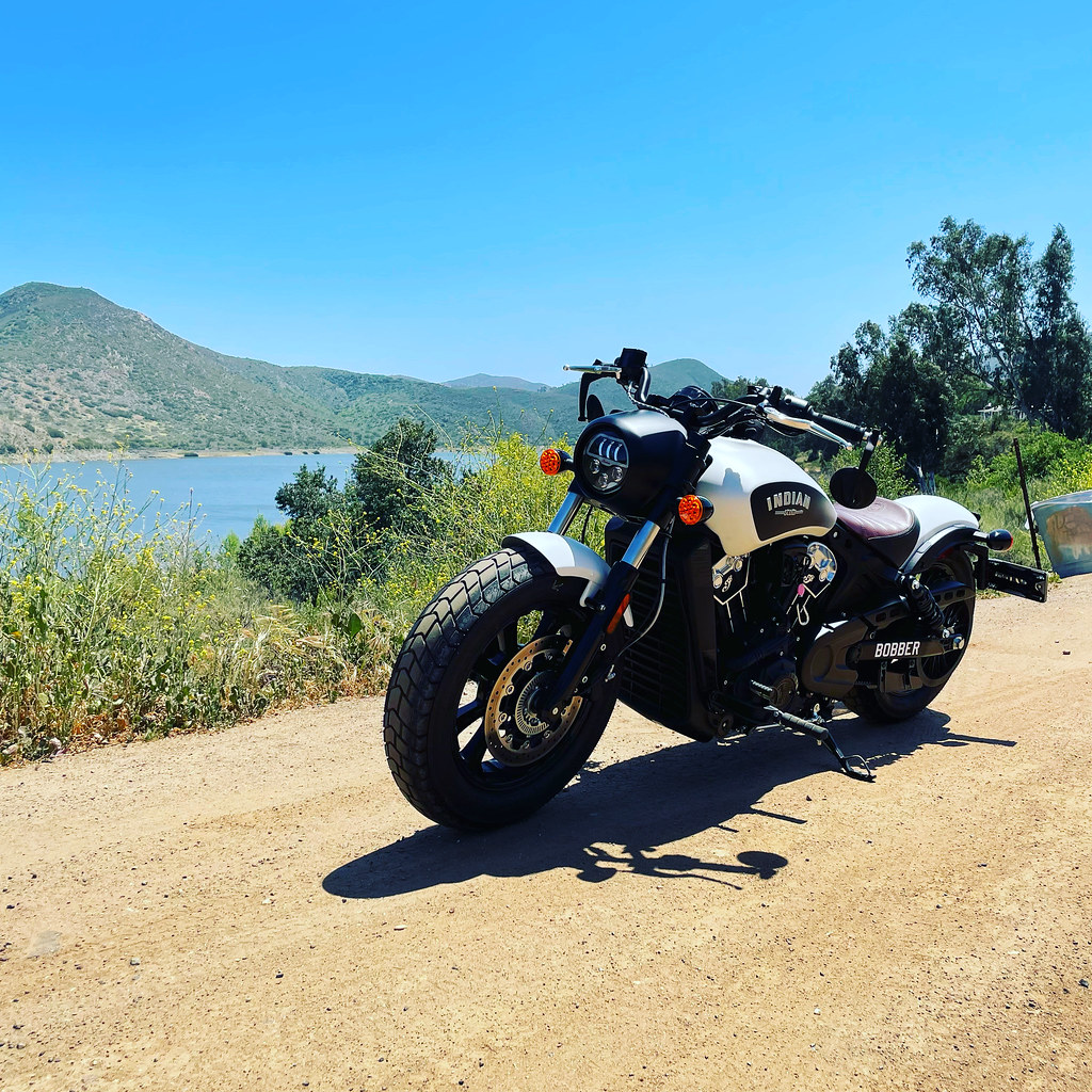 Lake Hodges North Shore TrailHikingPhoto: kaoticsnow, CC BY-SA 2.0 (via Flickr)0.9 mi
- Coast to Crest TrailHiking0.9 mi
- West Bernardo HillsRock climbing1 mi
- San Dieguito RiverCanoeing3.6 mi
- South SlopeRock climbing5.6 mi
- Sub-SummitRock climbing5.7 mi
Source: Roamze catalog (indexable pages within 10 miles, PostGIS distance)
Best time to visit Bernardo Mountain
Best months: Year-round. Best months have typical highs of 55–85 °F, lows of 30 °F or warmer (32 °F where the station doesn't record snow), at most one snowy day and no more than 12 wet days.
Jan
67° / 46°
Feb
66° / 46°
Mar
68° / 49°
Apr
70° / 51°
May
72° / 55°
Jun
76° / 58°
Jul
82° / 63°
Aug
83° / 64°
Sep
81° / 60°
Oct
77° / 57°
Nov
71° / 50°
Dec
66° / 44°
Typical high / low (°F) and days with rain or snow, 1991–2020. Measured at Rancho Bernardo, CA, 2.9 mi away at 690 ft. This station doesn't record snowfall. Source: NOAA NCEI U.S. Climate Normals 1991–2020.
