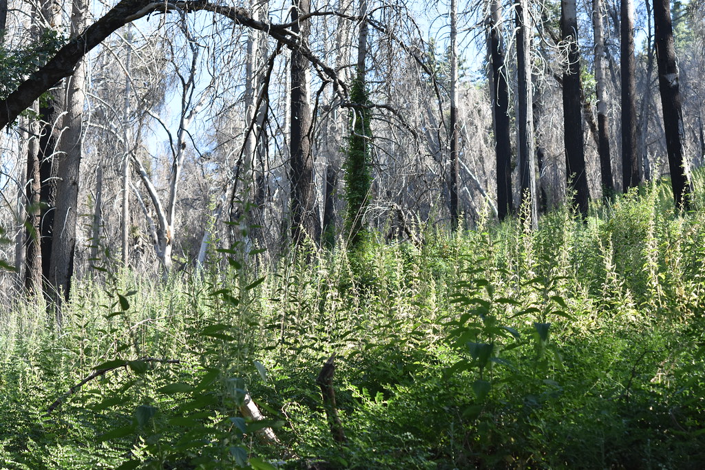
Harrison Serenity Ranch
Campground
Campground · 2.2 mi from the trail
 Photo: Michael Krehan, CC BY-SA 3.0 (via Wikimedia Commons)
The San Luis Rey River is a 58-mile paddling stretch near Pauma Valley, California, about a mile from the town of Rincon. It is an intermittent waterway, and it may run dry in some seasons. USGS models an average flow of about 163 cubic feet per second and a gradient of about 76.7 feet per mile. Spring and fall are the most comfortable times to paddle. Typical averages from a nearby weather station show May and October highs around 69°F, while July and August average about 84°F. That station sits roughly 1,000 feet higher than the river, so temperatures on the water run warmer. The Rincon River Walk is about 2.6 miles away, and the Boucher Trail and Adams Trail are both within about 3.5 miles. For an overnight base, Observatory Campground is about 5 miles off.
Harrison Serenity Ranch
Campground
El Rey
Restaurant
 If it rainsAlan Islas, CC BY-SA 4.0 · Wikimedia Commons
Living-history museum in Vista, California
Places © OpenStreetMap contributors · Photos: Alan Islas, CC BY-SA 4.0 (commons)
More in FallbrookNot on Roamze yet. Their page has how to reach them.
 Observatory CampgroundCampingPhoto: Recreation.gov (RIDB) / public domain5 mi
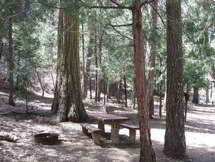 Fry Creek CampgroundCampingPhoto: Recreation.gov (RIDB) / public domain5.1 mi
Source: Roamze catalog (indexable pages within 10 miles, PostGIS distance)
 Sweetwater RiverCanoeing · ~1h 2m drivePhoto: Wasquewhat, CC BY-SA 4.0 (via Wikimedia Commons)
 Whitewater RiverCanoeing · ~1h 23m drivePhoto: Famartin, CC BY-SA 4.0 (via Wikimedia Commons)
Best months: March–November. Best months have typical highs of 55–85 °F, lows of 30 °F or warmer (32 °F where the station doesn't record snow), at most one snowy day and no more than 12 wet days.
Jan
51° / 37°
7 wet · 1 snow
Feb
51° / 36°
7 wet · 2 snow
Mar
56° / 39°
6 wet · 1 snow
Apr
61° / 42°
4 wet · 1 snow
May
69° / 48°
2 wet
Jun
79° / 57°
1 wet
Jul
84° / 64°
1 wet
Aug
84° / 65°
1 wet
Sep
79° / 60°
1 wet
Oct
69° / 51°
2 wet
Nov
58° / 43°
4 wet
Dec
51° / 37°
6 wet · 1 snow
Typical high / low (°F) and days with rain or snow, 1991–2020. Measured at Palomar Mtn Obsy, CA, 8.3 mi away at 5,550 ft. The station sits about 1,000 ft higher than this place, so expect it a little warmer here. Source: NOAA NCEI U.S. Climate Normals 1991–2020.