Palomar Mountain State Park
About
Palomar Mountain State Park is a California State Parks unit in the Palomar Ranger District of Cleveland National Forest, about 8 miles from the town of Aguanga. It sits at a high elevation, and the nearby Palomar Mtn Obsy weather station, at about 5,550 feet, records typical averages that help plan a visit. Spring and fall are the most comfortable times to go. Typical averages from that station show May and October highs around 69°F, while July and August average about 84°F. Winter brings highs near 51°F and a few snowy days a month. Several campgrounds and trails lie within a couple of miles. Crestline Group Campground and Observatory Campground are both about 2 miles away, and the Fry Creek hike starts a little farther out. Paddlers can reach the San Luis Rey River, about 6 miles away.
Facts about this place
When to go
Best time to go: Apr–Oct. The mildest months here, with typical highs of 61–84°F and lows of 42–65°F.
Typical monthly averages (not a forecast) from the Palomar Mtn Obsy, CA weather station, 3.1 mi away. High / low in °F, and days with snow.
- Jan51° high37° low1 days with snow
- Feb51° high36° low2 days with snow
- Mar56° high39° low1 days with snow
- Apr61° high42° low1 days with snow
- May69° high48° low
- Jun79° high57° low
- Jul84° high64° low
- Aug84° high65° low
- Sep79° high60° low
- Oct69° high51° low
- Nov58° high43° low
- Dec51° high37° low1 days with snow
The station sits about 1,100 ft higher than this spot, so expect it to run a little warmer here.
Where it is
- Palomar Ranger District · Ranger district
- Cleveland National Forest · National forest
- Nearest town
- Aguanga, California · 8.2 mi
Conditions
Active alerts for Cleveland National Forest as of Oct 9, 2026:
Extreme Heat Closure October 2nd-8th 2026
critical · posted Oct 1, 2026
Airport Fire Burned Area Closure
critical · posted Aug 24, 2026
Forest Truck Trail and Road Closures
critical · posted Aug 24, 2026
information · posted Aug 24, 2026
Elevated Fire Use Restrictions
fire-restriction · posted Aug 24, 2026
Dispersed Camping and Stay Limits Prohibition
information · posted Aug 24, 2026
Source: USFS forest alerts
Nearby
- Crestline Group CampgroundCamping1.7 mi
- ObservatoryHiking1.7 mi
- game trailHiking1.7 mi
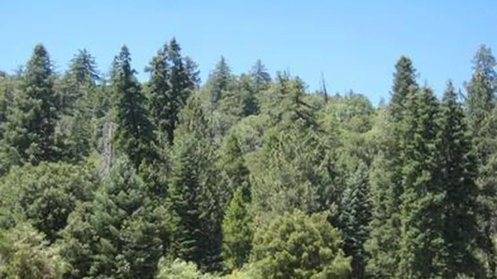 Observatory CampgroundCampingPhoto: Recreation.gov (RIDB) / public domain1.8 mi
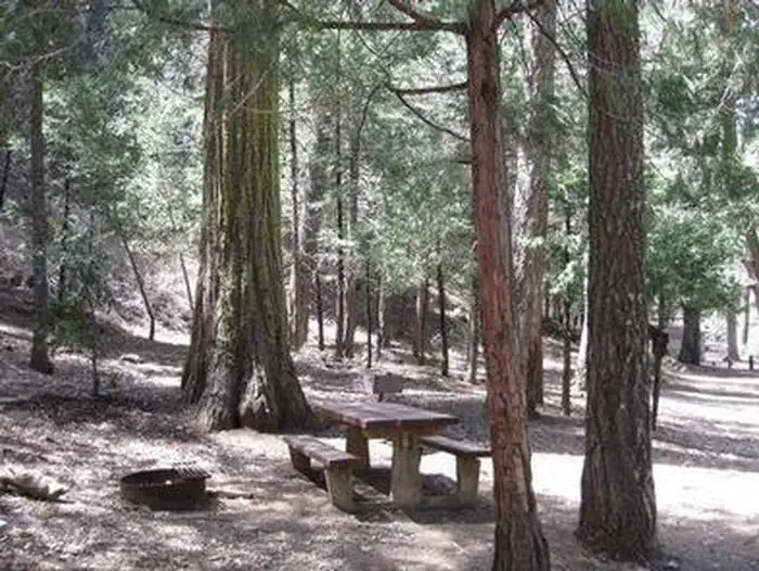 Fry Creek CampgroundCampingPhoto: Recreation.gov (RIDB) / public domain1.9 mi
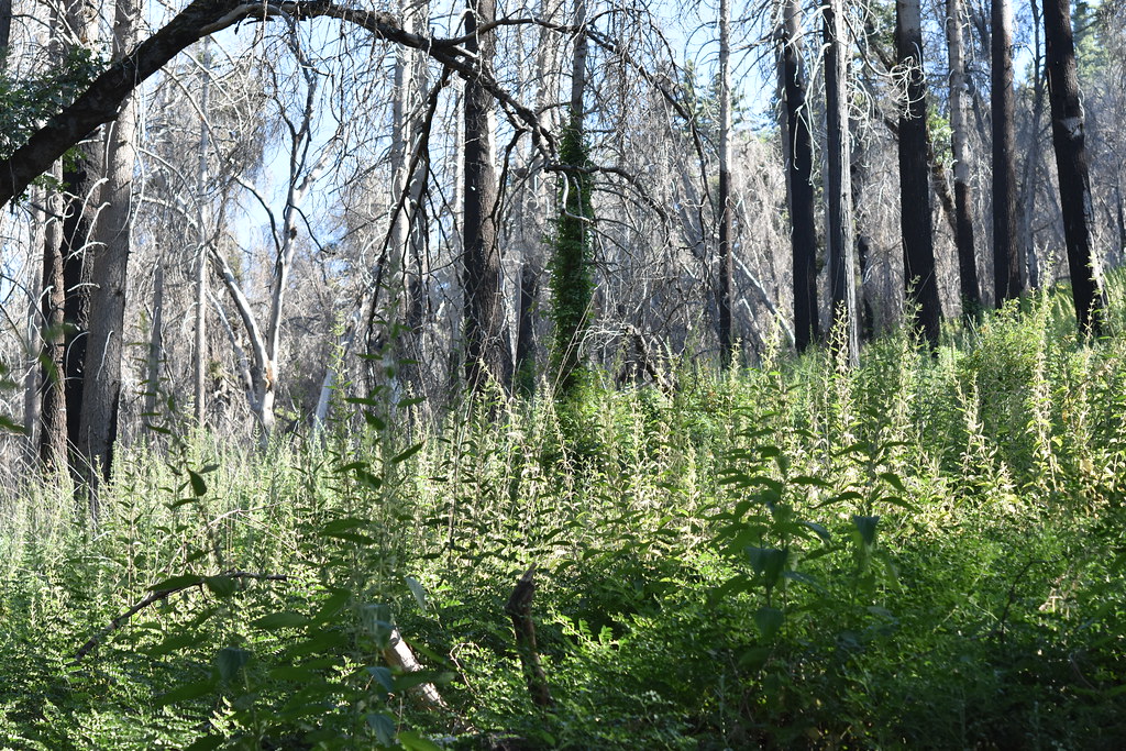 Fry CreekHikingPhoto: theforestprimeval, CC BY-SA 2.0 (via Flickr)2 mi
 San Luis Rey RiverCanoeingPhoto: Michael Krehan, CC BY-SA 3.0 (via Wikimedia Commons)6.2 mi
- Temecula CreekCanoeing7.2 mi
Source: Roamze catalog (indexable pages within 10 miles, PostGIS distance)
Is Palomar Mountain State Park open right now?
Closure in the area
There's a closure order in Cleveland National Forest. It doesn't name Palomar Mountain State Park, so check the source for the area it covers.
Airport Fire Burned Area Closure
Agency closure covering Cleveland National Forest · Order 02-26-09 · USFS · Cleveland National Forest
Elevated Fire Use Restrictions
Agency alert covering Cleveland National Forest · Order 02-26-10 · USFS · Cleveland National Forest
As of · Source: USFS · Cleveland National Forest. Agencies don't list every closure — check before you go.
Best time to visit Palomar Mountain State Park
Best months: March–November. Best months have typical highs of 55–85 °F, lows of 30 °F or warmer (32 °F where the station doesn't record snow), at most one snowy day and no more than 12 wet days.
Jan
51° / 37°
7 wet · 1 snow
Feb
51° / 36°
7 wet · 2 snow
Mar
56° / 39°
6 wet · 1 snow
Apr
61° / 42°
4 wet · 1 snow
May
69° / 48°
2 wet
Jun
79° / 57°
1 wet
Jul
84° / 64°
1 wet
Aug
84° / 65°
1 wet
Sep
79° / 60°
1 wet
Oct
69° / 51°
2 wet
Nov
58° / 43°
4 wet
Dec
51° / 37°
6 wet · 1 snow
Typical high / low (°F) and days with rain or snow, 1991–2020. Measured at Palomar Mtn Obsy, CA, 3.1 mi away at 5,550 ft. The station sits about 1,100 ft higher than this place, so expect it a little warmer here. Source: NOAA NCEI U.S. Climate Normals 1991–2020.
