Crestline Group Campground
Campground
Campground · 3.0 mi from the trail
Closure in the area
There's a closure order in Cleveland National Forest. It doesn't name game trail, so check the source for the area it covers.
Airport Fire Burned Area Closure
Agency closure covering Cleveland National Forest · Order 02-26-09 · USFS · Cleveland National Forest
Cedar Creek Falls Visitor Use Permit Area
Agency alert covering Cleveland National Forest · Order 02-26-07 · USFS · Cleveland National Forest
Cedar Creek Falls Cliff Closure Area
Agency alert covering Cleveland National Forest · Order 02-26-06 · USFS · Cleveland National Forest
Cedar Creek Falls Alcohol Prohibition
Agency alert covering Cleveland National Forest · USFS · Cleveland National Forest
As of · Source: USFS · Cleveland National Forest. Agencies don't list every closure — check before you go.
A short, easy out-and-back on the Forest Service land of the Palomar Ranger District in Cleveland National Forest, this trail is less than two-thirds of a mile from the start to the high point and back. The route is rated easy and takes about half an hour, with a total elevation gain of 206 feet over a 1.3-mile round trip. The climb is back-loaded, so the steeper stretch comes near the middle of the route. The trail begins at 4,141 feet and reaches a high point of 4,141 feet. That makes it a flat stretch to the top, with the steepest grade about 0.6 miles in at roughly 5 percent. Spring and fall are the most comfortable times to go. Typical averages from a nearby weather station show May and October highs around 69°F, while the station sits about 1,400 feet higher than the trail, so temperatures on this route run warmer. Barker Valley lies about 2 miles away. Crestline Group Campground and Fry Creek are both around 3.6 miles off, and Observatory Campground is about 3.4 miles away.
Crestline Group Campground
Campground
Warner Hot Spring
Hot spring
Places © OpenStreetMap contributors
More in JulianNot on Roamze yet. Their page has how to reach them.
 Barker ValleyHikingPhoto: semsd, CC BY-SA 3.0 (via Wikimedia Commons)1.9 mi
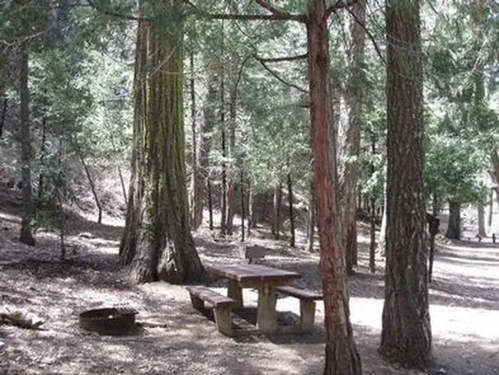
 Observatory CampgroundCampingPhoto: Recreation.gov (RIDB) / public domain3.4 mi
 Fry Creek CampgroundCampingPhoto: Recreation.gov (RIDB) / public domain3.6 mi
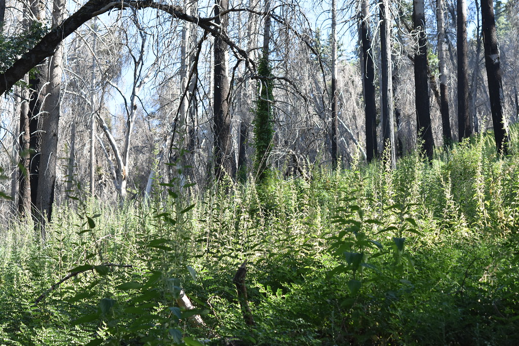 Fry CreekHikingPhoto: theforestprimeval, CC BY-SA 2.0 (via Flickr)3.6 mi
 San Luis Rey RiverCanoeingPhoto: Michael Krehan, CC BY-SA 3.0 (via Wikimedia Commons)7.9 mi
Source: Roamze catalog (indexable pages within 10 miles, PostGIS distance)
Barker ValleyHiking · ~3 min drivePhoto: semsd, CC BY-SA 3.0 (via Wikimedia Commons)Fry CreekHiking · ~6 min drivePhoto: theforestprimeval, CC BY-SA 2.0 (via Flickr) Chimney Flats TrailHiking · ~7 min drivePhoto: theforestprimeval, CC BY-SA 2.0 (via Flickr)Use Trail (To Fry Creek)Hiking · ~7 min drivePhoto: theforestprimeval, CC BY-SA 2.0 (via Flickr)Upper Doane Valley TrailHiking · ~8 min drivePhoto: theforestprimeval, CC BY-SA 2.0 (via Flickr)
Best months: March–November. Best months have typical highs of 55–85 °F, lows of 30 °F or warmer (32 °F where the station doesn't record snow), at most one snowy day and no more than 12 wet days.
Jan
51° / 37°
7 wet · 1 snow
Feb
51° / 36°
7 wet · 2 snow
Mar
56° / 39°
6 wet · 1 snow
Apr
61° / 42°
4 wet · 1 snow
May
69° / 48°
2 wet
Jun
79° / 57°
1 wet
Jul
84° / 64°
1 wet
Aug
84° / 65°
1 wet
Sep
79° / 60°
1 wet
Oct
69° / 51°
2 wet
Nov
58° / 43°
4 wet
Dec
51° / 37°
6 wet · 1 snow
Typical high / low (°F) and days with rain or snow, 1991–2020. Measured at Palomar Mtn Obsy, CA, 3.3 mi away at 5,550 ft. The station sits about 1,400 ft higher than this place, so expect it a little warmer here. Source: NOAA NCEI U.S. Climate Normals 1991–2020.
Map and trail data © OpenStreetMap contributors
