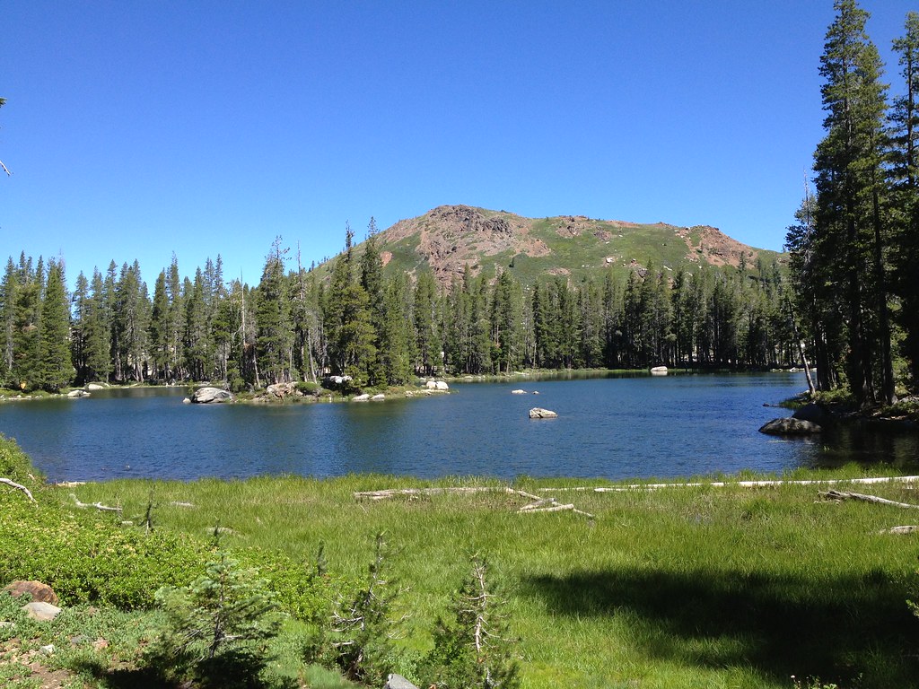
The Cove
Cove, The in California has 22 climbing routes.
- 22 routes
- 5.7 – 5.12c
- Sport · Bouldering
Is Cove, The open right now?
Alert in the area
The Forest Service lists 2 alerts for Tahoe National Forest.
Stage 1 Fire Restrictions
Agency alert covering Tahoe National Forest · Order 17-26-25 · USFS · Tahoe National Forest
Camping and Campfire Restrictions-Truckee and Sierraville Districts
Agency alert covering Tahoe National Forest · Order 17-25-05 · USFS · Tahoe National Forest
As of · Source: USFS · Tahoe National Forest. Agencies don't list every closure — check before you go.
Best time to visit The Cove
Best months: April–October. Best months have typical highs of 55–85 °F, lows of 30 °F or warmer (32 °F where the station doesn't record snow), at most one snowy day and no more than 12 wet days.
Jan
46° / 29°
Feb
47° / 28°
Mar
49° / 30°
Apr
55° / 33°
May
64° / 40°
Jun
73° / 47°
Jul
82° / 54°
Aug
81° / 54°
Sep
77° / 51°
Oct
66° / 42°
Nov
54° / 34°
Dec
45° / 29°
Typical high / low (°F) and days with rain or snow, 1991–2020. Measured at Bowman Dam, CA, 1 mi away at 5,385 ft. This station doesn't record snowfall. Source: NOAA NCEI U.S. Climate Normals 1991–2020.
The Cove is a climbing area in California's Tahoe National Forest, within the Yuba River Ranger District. The Forest Service manages the land, and the area sits right beside two other climbing spots: Candy Land and Bowman Valley, both about 0.1 mile away. The climbing here is sport climbing, with 20 sport routes and 2 boulders. Grades run from 5.7 up to 5.12c. Among the named routes are Flume with a View (5.7), Flumetastic Voyage (5.8) and Psyche Ward (5.12c), which was first ascended by Josh Horniak and Mike Carville. Summer is the warmest stretch, with typical July highs around 82°F and lows near 54°F, based on averages from the nearby Bowman Dam weather station. Winter is cold, with typical January highs in the mid-40s and lows in the upper 20s. For more to do, the Bullpen hike is about 1.9 miles away and the Lindsey Lake campground is about 2 miles off. Canyon Creek, a canoeing spot, is about 2.2 miles away, and Carr Lake campground is about 2.7 miles away.
Routes (22)
Keep exploring — more climbs worth the drive
 Photo: MarkDoliner, CC BY-SA 2.0 (via Flickr)
Candy Land
~0 min drive
Candy Land in California has 9 sport climbing routes on 6 difficulty grades.
Photo: MarkDoliner, CC BY-SA 2.0 (via Flickr)Larry Land
~1 min drive
Larry Land in California has 22 sport climbing routes across 13 difficulty grades.
Photo: MarkDoliner, CC BY-SA 2.0 (via Flickr)B - Word
~1 min drive
B - Word is a California climbing area with 14 sport routes on 10 difficulty grades.
 Photo: ilya_ktsn, CC BY 2.0 (via Flickr)
Island Lake Boulders
~6 min drive
Island Lake Boulders in California has 23 bouldering routes with pads.
 Photo: ericheath, CC BY 2.0 (via Flickr)
Stress Management Boulders
~15 min drive
Stress Management Boulders is a bouldering area in California with 9 routes.
Photo: ericheath, CC BY 2.0 (via Flickr)Stress Management Boulder
~15 min drive
Stress Management Boulder is a California bouldering crag with 8 routes.
Photo: ericheath, CC BY 2.0 (via Flickr)The Scoop
~15 min drive
Scoop, The in California has 6 bouldering routes across 5 grades.
Bowman Valley
~0 min drive
Bowman Valley in California has 24 climbing routes with 18 difficulty grades.
Gas and Electric Crag
~1 min drive
Gas and Electric Crag in California has 6 sport climbing routes on 6 distinct difficulty grades.
Boy Scout Wall
~1 min drive
Boy Scout Wall in California has 17 sport climbing routes across 12 difficulty grades.