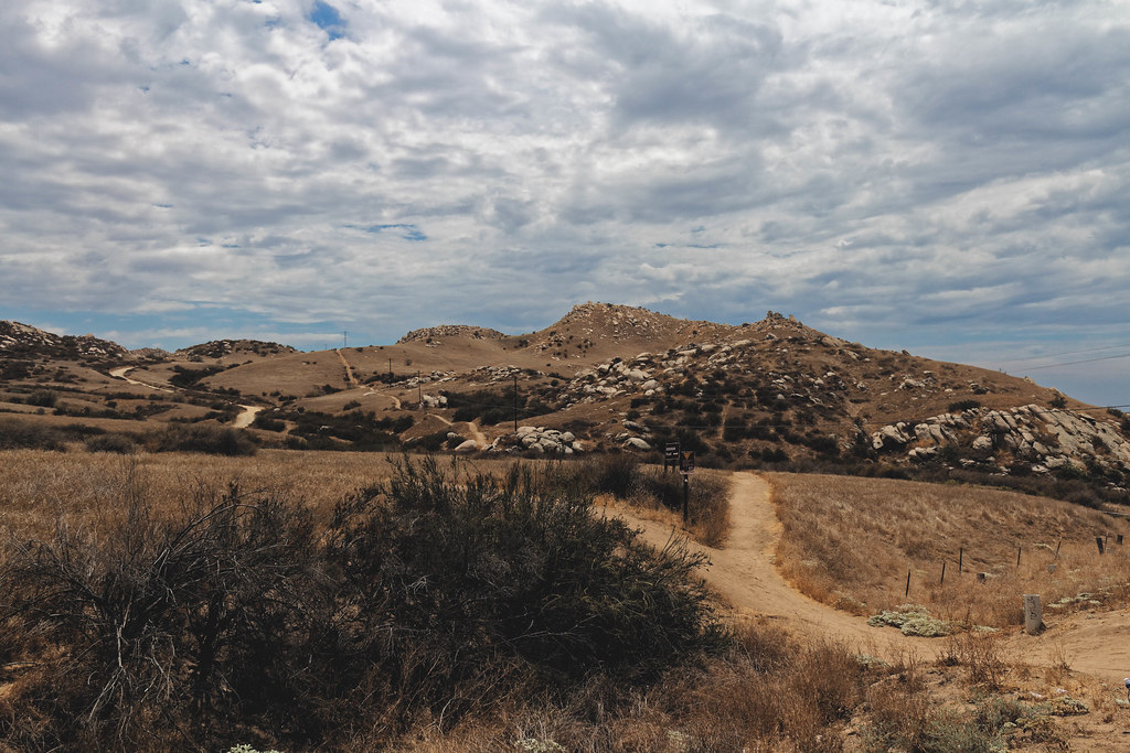
(l) Anger Management Area
Anger Management Area is a California climbing crag with 7 sport routes.
- 7 routes
- 5.11b – 5.12c
- Sport
Best time to visit (l) Anger Management Area
Best months: October–May. Best months have typical highs of 55–85 °F, lows of 30 °F or warmer (32 °F where the station doesn't record snow), at most one snowy day and no more than 12 wet days.
Jan
70° / 44°
7 wet
Feb
70° / 45°
7 wet
Mar
72° / 47°
6 wet
Apr
75° / 50°
4 wet
May
80° / 55°
2 wet
Jun
87° / 58°
1 wet
Jul
94° / 63°
1 wet
Aug
97° / 64°
0 wet
Sep
93° / 61°
1 wet
Oct
82° / 55°
2 wet
Nov
76° / 47°
3 wet
Dec
69° / 43°
5 wet
Typical high / low (°F) and days with rain or snow, 1991–2020. Measured at Riverside Citrus Exp, CA, 4.7 mi away at 986 ft. Source: NOAA NCEI U.S. Climate Normals 1991–2020.
Anger Management Area is a climbing area in California, about half a mile from the town of Ormand. Several other climbing spots sit right next to it, including Rubble Row, Roof Area and The Shield, each about 0.1 mile away. Spring and fall are the most comfortable times to visit. Typical averages from a nearby weather station run from highs around 75°F and lows near 50°F in April to highs around 82°F and lows near 55°F in October. Summer is hot, with August highs averaging about 97°F. For a hike, Jurupa Hills Hike is about 2.4 miles away. Paddlers can find Lytle Creek roughly 8 miles off.
Keep exploring — more climbs worth the drive
 Photo: nccmrm97, CC BY-SA 2.0 (via Flickr)
Hardy Boy Area
~4 min drive
Hardy Boy Area in California has 6 routes with 6 difficulty grades, offering bouldering and sport climbing.
Photo: nccmrm97, CC BY-SA 2.0 (via Flickr)John Long Boulder
~4 min drive
John Long Boulder in California has 6 bouldering routes with 6 difficulty grades.
Photo: nccmrm97, CC BY-SA 2.0 (via Flickr)Upper Accomazzo Boulders
~5 min drive
Upper Accomazzo Boulders in California has 5 bouldering routes across 4 grades.
Riverside Quarry
~0 min drive
Riverside Quarry in California has 4 climbing routes with bouldering pads and sport.
(f) Torture Machine Area
~0 min drive
Torture Machine Area in California has 16 sport climbing routes with 14 difficulty grades.
Slab City (Right)
~0 min drive
11 sport climbing routes in California spanning 9 difficulty grades.
(a) Slab City
~0 min drive
Slab City is a sport climbing crag in California with 1 route.
Slab City (Left)
~0 min drive
Slab City (Left) in California has 16 climbing routes ranging across 9 difficulty grades.
(p) The Fun Factory
~0 min drive
14-route climbing crag in California with sport and trad options.
(q) Agony Arch Area
~0 min drive
Agony Arch Area in California has 12 climbing routes across 9 grades, offering sport and trad options.