Hoodgie Wall
Hoodgie Wall in California has 8 climbing routes across 5 difficulty grades.
 Photo: JingKe888, CC BY 2.0 (via Flickr)
- 8 routes
- 5.6 – 5.9
- Trad · Sport
Best time to visit Hoodgie Wall
Best months: February–May and October–November. Best months have typical highs of 55–85 °F, lows of 30 °F or warmer (32 °F where the station doesn't record snow), at most one snowy day and no more than 12 wet days.
Jan
58° / 30°
4 wet
Feb
61° / 33°
4 wet
Mar
69° / 39°
3 wet
Apr
76° / 44°
1 wet
May
85° / 53°
1 wet
Jun
96° / 62°
1 wet
Jul
102° / 67°
1 wet
Aug
101° / 65°
1 wet
Sep
93° / 58°
1 wet
Oct
81° / 48°
1 wet
Nov
67° / 36°
2 wet
Dec
57° / 29°
4 wet
Typical high / low (°F) and days with rain or snow, 1991–2020. Measured at Independence, CA, 13.7 mi away at 3,950 ft. The station sits about 800 ft lower than this place, so expect it a little cooler here. This station doesn't record snowfall. Source: NOAA NCEI U.S. Climate Normals 1991–2020.
Hoodgie Wall is a climbing area in California's Bishop Field Office, managed by the Bureau of Land Management. The wall sits among several other climbing destinations, with Truffle Tower and The Tall Wall each about 0.1 mile away. The climbing here offers a mix of sport and trad routes, with eight routes in total, and most fall between 5.6 and 5.9 on the YDS scale. The trad routes include Hoodgie, a 5.6, and Holy Shiite, Muslim!, a 5.7. The sport routes run from 5.8 to 5.8+ and include Ankles Away and Lafayette in America. Spring and fall are the most comfortable times to climb. Typical averages from a nearby weather station in Independence, CA, show April highs around 76°F and October highs around 81°F, while July and August average in the low 100s. The Arch Loop Trail is half a mile away, and the Alabama Hills Trail is 1.5 miles off. For an overnight stay, Lone Pine and Tuttle Creek Campground are both about 3 miles away.
Routes (8)
Keep exploring — more climbs worth the drive
 Photo: lamblukas, CC BY 2.0 (via Flickr)
Truffle Tower
~0 min drive
Truffle Tower in California has 5 climbing routes across 4 grades, offering sport and trad options.
 Photo: Seth Tisue, CC BY-SA 2.0 (via Flickr)
Western Wall Area
~0 min drive
Western Wall Area in California has 14 climbing routes across 10 grades.
Photo: JingKe888, CC BY 2.0 (via Flickr)The Tall Wall
~0 min drive
Tall Wall, The in California has 12 climbing routes across 8 difficulty grades.
Photo: Seth Tisue, CC BY-SA 2.0 (via Flickr)The Walnut
~0 min drive
6 sport climbing routes in California, 5 difficulty grades.
 Photo: mjhbower, CC BY-SA 2.0 (via Flickr)
The Loaf
~0 min drive
Loaf is a California climbing area with 6 routes across 4 grades, offering sport and traditional styles.
Photo: mjhbower, CC BY-SA 2.0 (via Flickr)The Huka Lounge (Jazz Wall)
~0 min drive
Huka Lounge (Jazz Wall) in California has 8 climbing routes across 7 grades.
Photo: JingKe888, CC BY 2.0 (via Flickr)DXM Wall
~0 min drive
DXM Wall in California has 5 climbing routes with sport and trad options.
 Photo: Romain Guy from San Francisco, USA, CC0 (via Wikimedia Commons)
The Ghosts
~0 min drive
Ghosts, The is a sport climbing area in California with 19 routes.
Photo: lamblukas, CC BY 2.0 (via Flickr)The Eye of Horus
~0 min drive
Eye of Horus in California has 5 routes across 3 grades, offering sport and trad climbing.
 Photo: Seth Tisue, CC BY-SA 2.0 (via Flickr)
Lost Eye to the Moon
~1 min drive
Lost Eye to the Moon in California has 10 routes across 7 grades, offering sport and trad climbing.
Also worth it near here
 Photo: hakkun, CC BY-SA 3.0 (via Wikimedia Commons)
Arch Loop Trail
~1 min drive
 Photo: Clyde Charles Brown, CC BY-SA 4.0 (via Wikimedia Commons)
Mobius Arch
~1 min drive
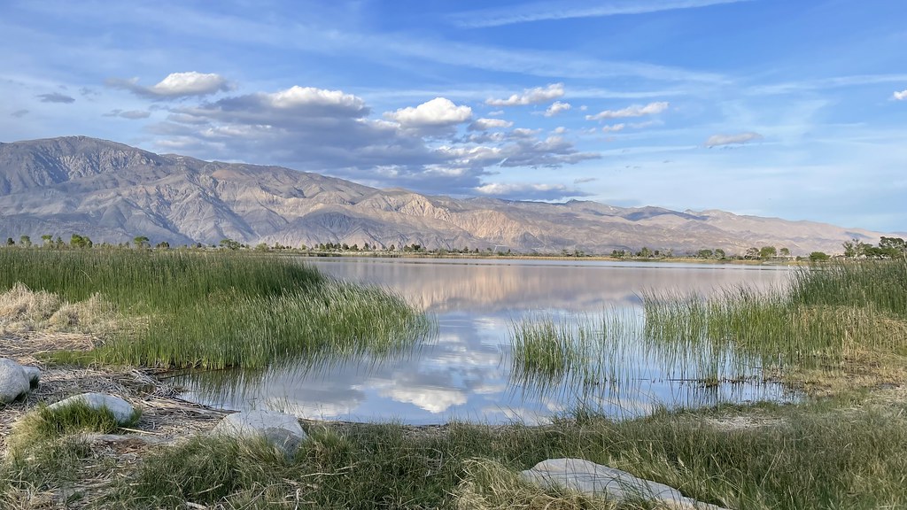 Photo: jfdervin — CC BY-SA 2.0 (via Flickr)
Diaz Lake Campground
~9 min drive
 Photo: UFGS Region 5, CC BY 2.0 (via Wikimedia Commons)
Lone Pine Peak
~10 min drive
