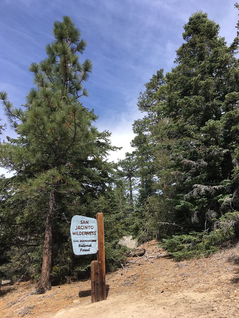
Ernie Maxwell Trail
Ernie Maxwell Trail in California has 2 trad climbing routes.
 Photo: sergei.gussev, CC BY 2.0 (via Flickr)
- 2 routes
- 5.7 – 5.11b
- Trad
Is Ernie Maxwell Trail open right now?
Alert in the area
The Forest Service lists 2 alerts for San Bernardino National Forest.
Safety Alert - Falling Rocks at Bonita Falls
Agency alert covering San Bernardino National Forest · USFS · San Bernardino National Forest
Fire Restrictions
Agency alert covering San Bernardino National Forest · Order 05-12-00-26-05 · USFS · San Bernardino National Forest
As of · Source: USFS · San Bernardino National Forest. Agencies don't list every closure — check before you go.
Best time to visit Ernie Maxwell Trail
Best months: April–July and September–November. Best months have typical highs of 55–85 °F, lows of 30 °F or warmer (32 °F where the station doesn't record snow), at most one snowy day and no more than 12 wet days.
Jan
55° / 31°
7 wet · 2 snow
Feb
54° / 30°
7 wet · 3 snow
Mar
59° / 32°
6 wet · 2 snow
Apr
64° / 35°
4 wet · 1 snow
May
71° / 41°
2 wet
Jun
80° / 48°
1 wet
Jul
85° / 55°
2 wet
Aug
86° / 55°
3 wet
Sep
81° / 50°
2 wet
Oct
72° / 42°
2 wet
Nov
62° / 35°
4 wet · 1 snow
Dec
54° / 30°
6 wet · 2 snow
Typical high / low (°F) and days with rain or snow, 1991–2020. Measured at Idyllwild Fire Dept, CA, 1.1 mi away at 5,380 ft. The station sits about 700 ft lower than this place, so expect it a little cooler here. Source: NOAA NCEI U.S. Climate Normals 1991–2020.
Ernie Maxwell Trail is a climbing area in the San Jacinto Ranger District of San Bernardino National Forest in California. It sits within the San Jacinto - Santa Rosa Mountains Recreation Area, about a mile from the San Jacinto - Santa Rosa Mountains Recreation Area's fishing waters. Spring and fall are the most comfortable times to visit. Typical averages from a nearby weather station in Idyllwild show May highs around 71°F and October highs around 72°F, while July and August climb to the mid-80s. That station sits about 660 feet lower than the trail, so temperatures on the route run cooler. Other problems, a climbing area, is just 0.1 mile away, and Parking Lot Boulder is about half a mile off. South Ridge and Lower South Ridge are both about half a mile away for hiking.
Routes (2)
Little One(2)
Keep exploring — more climbs worth the drive
Photo: sergei.gussev, CC BY 2.0 (via Flickr)Other problems
~0 min drive
Other problems is a climbing area in California with 5 routes.
 Photo: sergei.gussev, CC BY 2.0 (via Flickr)
Parking Lot Boulder
~1 min drive
Parking Lot Boulder in California has 7 bouldering routes across 5 grades.
 Photo: sergei.gussev, CC BY 2.0 (via Flickr)
Cat Boulder
~1 min drive
Cat Boulder in California offers 6 bouldering routes across 5 difficulty grades.
Photo: sergei.gussev, CC BY 2.0 (via Flickr)Mantel Boulder
~1 min drive
Mantel Boulder in California has 7 bouldering routes with 6 difficulty grades.
Photo: sergei.gussev, CC BY 2.0 (via Flickr)Elephant Man Boulder
~1 min drive
Elephant Man Boulder in California has 5 bouldering routes with pads.
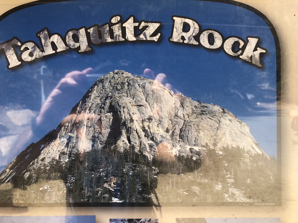 Photo: Rick McCharles, CC BY 2.0 (via Flickr)
(h) Open Book Area
~2 min drive
14-route climbing crag in California with sport and trad options.
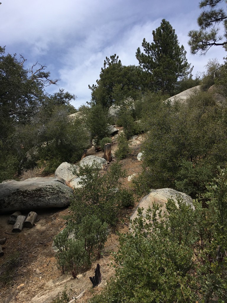 Photo: sergei.gussev, CC BY 2.0 (via Flickr)
Family & Friends Boulders
~2 min drive
7 bouldering routes in California spanning 5 difficulty grades.
 Photo: sergei.gussev, CC BY 2.0 (via Flickr)
West Face - Center (Flintstone Slab)
~2 min drive
20-route climbing area in California with sport and trad options.
Photo: Rick McCharles, CC BY 2.0 (via Flickr)West Face - Left Side
~2 min drive
21 mixed and trad routes on West Face - Left Side, California.
 Photo: Benjamin Crowell, CC BY-SA 4.0 (via Wikimedia Commons)
Upper Bulge Routes
~2 min drive
Upper Bulge Routes in California has 16 trad climbing routes.