(h) Open Book Area
14-route climbing crag in California with sport and trad options.
 Photo: Rick McCharles, CC BY 2.0 (via Flickr)
- 14 routes
- 5.8 – 5.12c
- Trad · Sport
Is (h) Open Book Area open right now?
Alert in the area
The Forest Service lists 2 alerts for San Bernardino National Forest.
Safety Alert - Falling Rocks at Bonita Falls
Agency alert covering San Bernardino National Forest · USFS · San Bernardino National Forest
Fire Restrictions
Agency alert covering San Bernardino National Forest · Order 05-12-00-26-05 · USFS · San Bernardino National Forest
As of · Source: USFS · San Bernardino National Forest. Agencies don't list every closure — check before you go.
The Open Book Area is a climbing area in the San Jacinto Wilderness, part of the San Jacinto Ranger District of San Bernardino National Forest in California. The Forest Service manages the land, and the area sits within designated wilderness. The climbing here is all trad, with 13 traditional routes and one sport route among the 14 listed. Grades run from 5.8 up to 5.12c, with the median around 5.10c. The Bookworm is the hardest route at 5.12c, and Mechanic's Route is the easiest at 5.8. The area's name is a nod to its climbing, with routes like Bibliography and Bookmark among the named ones. Two climbing areas, South Face - Left Side and West Face - Center (Flintstone Slab), lie about 0.1 mile away. Devil's Slide and the Ernie Maxwell Scenic Trail are both about 0.4 mile off.
Routes (14)
Keep exploring — more climbs worth the drive
 Photo: sergei.gussev, CC BY 2.0 (via Flickr)
West Face - Center (Flintstone Slab)
~0 min drive
20-route climbing area in California with sport and trad options.
Photo: Rick McCharles, CC BY 2.0 (via Flickr)West Face - Left Side
~0 min drive
21 mixed and trad routes on West Face - Left Side, California.
 Photo: Benjamin Crowell, CC BY-SA 4.0 (via Wikimedia Commons)
Upper Bulge Routes
~0 min drive
Upper Bulge Routes in California has 16 trad climbing routes.
 Photo: atramos, CC BY 2.0 (via Flickr)
Tahquitz Rock
~0 min drive
Tahquitz Rock is a California climbing area with 4 routes and 3 difficulty grades.
 Photo: sergei.gussev, CC BY 2.0 (via Flickr)
Hinterland Corridor
~0 min drive
Hinterland Corridor in California has 9 climbing routes with 6 difficulty grades.
Photo: atramos, CC BY 2.0 (via Flickr)(a) Northeast Buttress
~0 min drive
Northeast Buttress in California has 3 sport and trad routes on a buttress.
 Photo: sergei.gussev, CC BY 2.0 (via Flickr)
Key Hole Tower
~0 min drive
Key Hole Tower in California has 6 climbing routes with 5 difficulty grades.
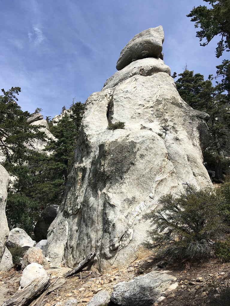 Photo: sergei.gussev, CC BY 2.0 (via Flickr)
Hinterland Wall
~0 min drive
Hinterland Wall in California offers 6 climbing routes with 5 difficulty grades and alpine no fixed protection.
Photo: sergei.gussev, CC BY 2.0 (via Flickr)The Hinterland
~0 min drive
Hinterland, The is a climbing area in California with 2 routes.
Photo: sergei.gussev, CC BY 2.0 (via Flickr)Toe of Hinterland Butress
~1 min drive
Toe of Hinterland Butress in California has 7 climbing routes across 6 difficulty grades.

