Eat at Degnan's
Among the more accessible climbs at Wawona Tunnel West.
- 5.9+
- grade
- Trad Gear
- style
Is Eat at Degnan's open right now?
No closures listed
The National Park Service lists no closures for Yosemite National Park.
As of · Source: NPS · Yosemite National Park. Agencies don't list every closure — check before you go.
Best time to visit Eat at Degnan's
Best months: March–June and September–November. Best months have typical highs of 55–85 °F, lows of 30 °F or warmer (32 °F where the station doesn't record snow), at most one snowy day and no more than 12 wet days.
Jan
48° / 29°
9 wet
Feb
51° / 30°
9 wet
Mar
57° / 33°
10 wet
Apr
63° / 38°
8 wet
May
70° / 45°
6 wet
Jun
80° / 51°
3 wet
Jul
89° / 57°
1 wet
Aug
89° / 57°
1 wet
Sep
83° / 51°
2 wet
Oct
71° / 41°
3 wet
Nov
56° / 32°
6 wet
Dec
46° / 28°
8 wet
Typical high / low (°F) and days with rain or snow, 1991–2020. Measured at Yosemite Park Hq, CA, 6.1 mi away at 4,018 ft. The station sits about 600 ft lower than this place, so expect it a little cooler here. This station doesn't record snowfall. Source: NOAA NCEI U.S. Climate Normals 1991–2020.
One of the easier routes catalogued at Wawona Tunnel West, where climbs range from 5.9 to 5.12b.
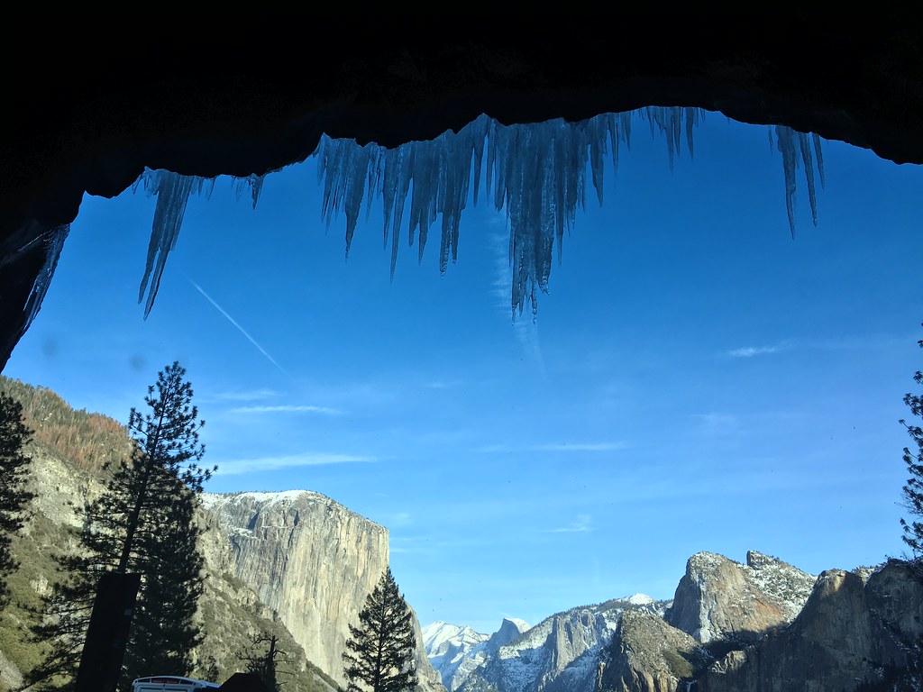
Photo of the crag
Keep exploring — more climbs worth the drive
 Photo: Richard Wood, CC BY-SA 3.0 (via Wikimedia Commons)
Ax. Pulpit Rock
~1 min drive
Ax. Pulpit Rock is a California climbing area with 3 routes ranging from easy to hard, available in sport and trad styles.
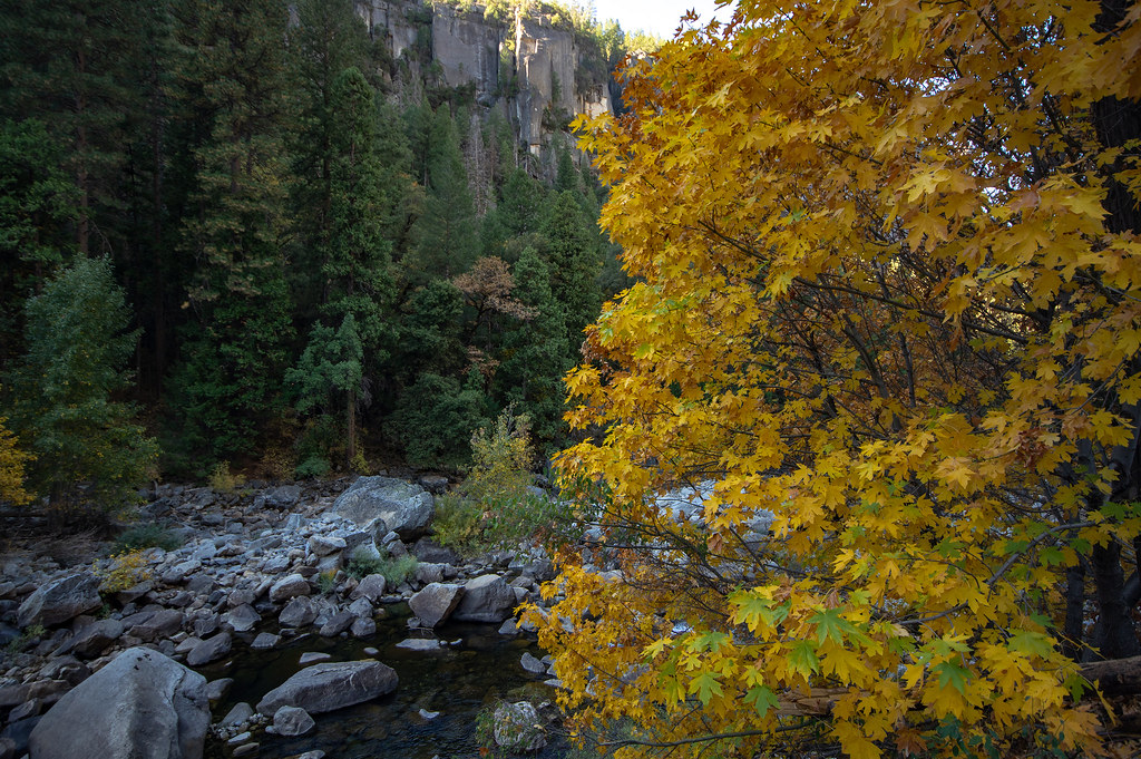 Photo: RuggyBearLA, CC BY 2.0 (via Flickr)
Au. Five and Dime Cliff
~1 min drive
Au. Five and Dime Cliff in California has 19 climbing routes across 11 grades.
 Photo: bsterling, CC BY-SA 2.0 (via Flickr)
Av. The Mojo Tooth Area
~1 min drive
Av. The Mojo Tooth Area in California has 8 climbing routes across 6 difficulty grades.
Photo: RuggyBearLA, CC BY 2.0 (via Flickr)Ap. New Diversions
~1 min drive
Ap. New Diversions in California has 13 climbing routes across 9 grades.
Photo: RuggyBearLA, CC BY 2.0 (via Flickr)Reed's Pinnacle
~1 min drive
Reed's Pinnacle in California offers 40 climbing routes with sport and trad options.
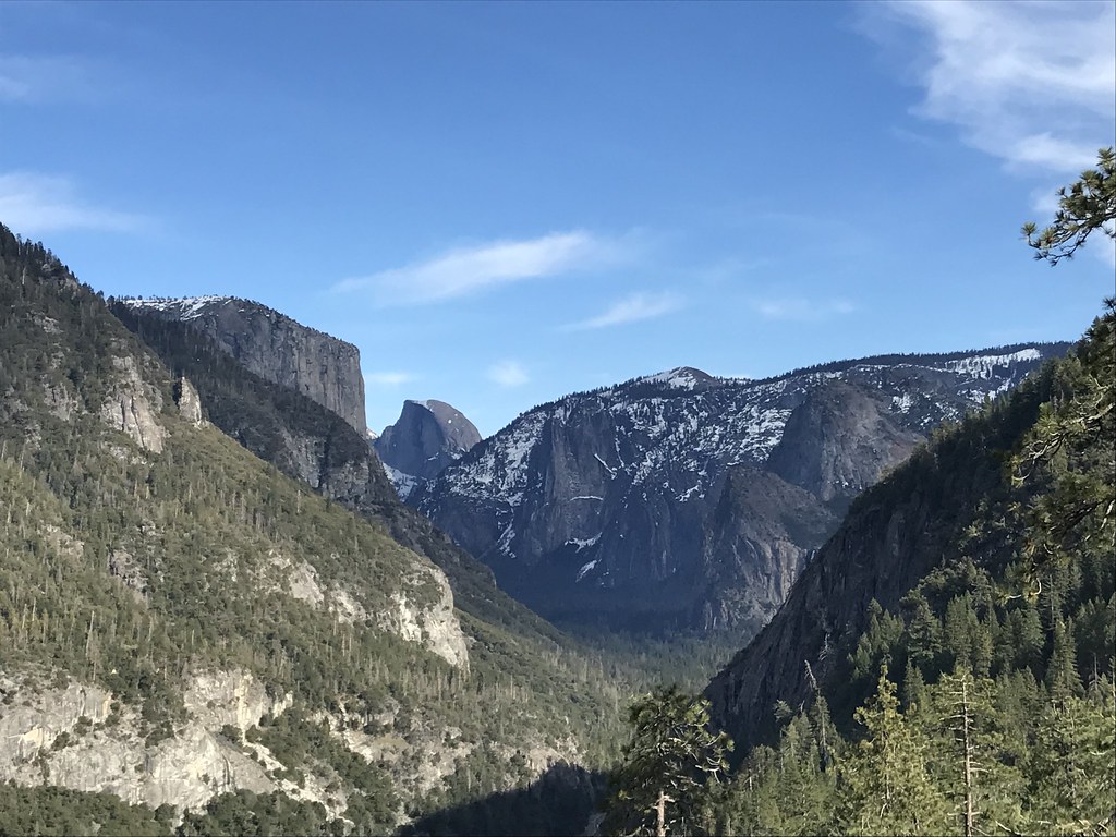 Photo: msprague, CC BY-SA 2.0 (via Flickr)
Ba. The Rostrum
~1 min drive
Ba. The Rostrum is a California climbing crag with 7 routes.
 Photo: Dicie Hinaga, CC BY 3.0 (via Wikimedia Commons)
Aw. Wawona Road (highway 41)
~1 min drive
Aw. Wawona Road (highway 41) is a climbing area in California with 1 route.
 Photo: msprague, CC BY-SA 2.0 (via Flickr)
Ao. This and That Cliff
~2 min drive
Ao. This and That Cliff is a climbing crag in California with 8 routes.
 Photo: stevelyon, CC BY-SA 2.0 (via Flickr)
Elephant Rock
~2 min drive
Elephant Rock in California has 24 climbing routes with sport and trad options.
Photo: stevelyon, CC BY-SA 2.0 (via Flickr)Bc. Elephant Rock Area
~2 min drive
Bc. Elephant Rock Area is a climbing crag in California with 5 routes.
Also worth it near here
 Photo: Richard Wood, CC BY-SA 3.0 (via Wikimedia Commons)
Old Wawona Road
~1 min drive
 Photo: David Hornor, CC BY 2.5 (via Wikimedia Commons)
Silver Strand Falls
~3 min drive
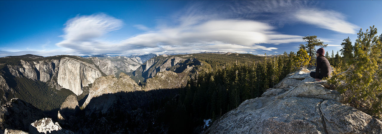 Photo: Jeffrey Pang from Berkeley, CA, USA, CC BY 2.0 (via Wikimedia Commons)
Dewey Point
~4 min drive
 Photo: Eeekster, CC BY 3.0 (via Wikimedia Commons)
Tamarack Flat Campground
~6 min drive
