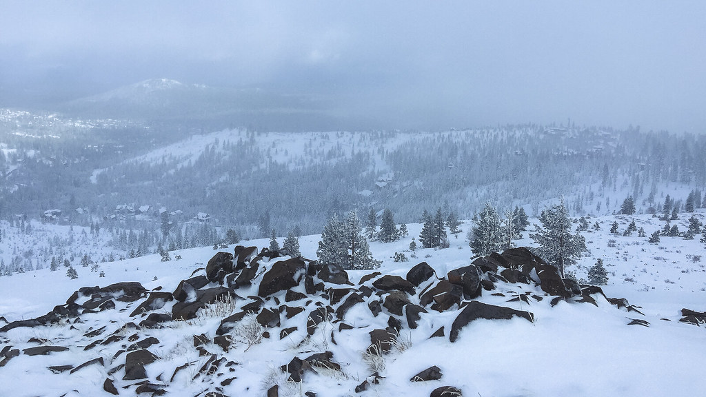
Black Wall - Upper Right
Black Wall - Upper Right in California has 5 climbing routes with mixed protection.
- 5 routes
- 5.7 – 5.10d
- Mixed
Is Black Wall - Upper Right open right now?
Alert in the area
The Forest Service lists 2 alerts for Tahoe National Forest.
Stage 1 Fire Restrictions
Agency alert covering Tahoe National Forest · Order 17-26-25 · USFS · Tahoe National Forest
Camping and Campfire Restrictions-Truckee and Sierraville Districts
Agency alert covering Tahoe National Forest · Order 17-25-05 · USFS · Tahoe National Forest
As of · Source: USFS · Tahoe National Forest. Agencies don't list every closure — check before you go.
Best time to visit Black Wall - Upper Right
Best months: May–September. Best months have typical highs of 55–85 °F, lows of 30 °F or warmer (32 °F where the station doesn't record snow), at most one snowy day and no more than 12 wet days.
Jan
41° / 17°
11 wet
Feb
43° / 18°
10 wet
Mar
48° / 22°
10 wet
Apr
53° / 26°
7 wet
May
63° / 33°
6 wet
Jun
73° / 38°
3 wet
Jul
82° / 44°
2 wet
Aug
81° / 42°
2 wet
Sep
74° / 36°
2 wet
Oct
63° / 29°
4 wet
Nov
49° / 23°
7 wet
Dec
39° / 17°
10 wet
Typical high / low (°F) and days with rain or snow, 1991–2020. Measured at Donner Mem Sp, CA, 4.4 mi away at 5,937 ft. The station sits about 900 ft lower than this place, so expect it a little cooler here. This station doesn't record snowfall. Source: NOAA NCEI U.S. Climate Normals 1991–2020.
Black Wall - Upper Right is a climbing area in the Truckee Ranger District of Tahoe National Forest in California, managed by the Forest Service. The name suggests a section of the Black Wall climbing area, and it sits about 0.1 mile from Black Wall and Black Wall - Right, so it pairs naturally with those other parts of the same wall. Summer and early fall are the mildest times to visit. A nearby weather station records typical average highs of about 73°F in June and 74°F in September, with only a couple of wet days a month. Winter is far colder, with typical January highs around 41°F and lows near 17°F. That station sits several hundred feet below the wall, so temperatures up high run cooler. The Donner Summit Lakes Trail starts less than a mile away, and the Pacific Crest National Scenic Trail #2000 is about 0.9 mile off. Milton Reservoir, roughly 1.9 miles away, offers fishing, and Granite Flat campground is about 6 miles out.
Keep exploring — more climbs worth the drive
 Photo: donner summit historical society, Public Domain Mark (via Flickr)
Cuckoo's Nest
~0 min drive
Cuckoo's Nest in California has 8 climbing routes with mixed, sport, and trad styles.
 Photo: Dana L. Brown, CC BY-SA 2.0 (via Flickr)
The Perch
~0 min drive
Perch, The in California has 6 trad climbing routes across 5 grades.
 Photo: Jonathan Fox, CC BY-SA 2.0 (via Wikimedia Commons)
Grouse #6
~1 min drive
Grouse #6 in California has 4 bouldering routes across 3 difficulty grades.
Photo: Jonathan Fox, CC BY-SA 2.0 (via Wikimedia Commons)East Face
~1 min drive
East Face in California has 24 climbing routes across 13 difficulty grades, offering mixed, sport, and trad styles.
Black Wall - Right
~0 min drive
Black Wall - Right in California has 14 climbing routes across 12 grades.
Black Wall
~0 min drive
Black Wall in California has 4 trad routes with 4 distinct difficulty grades.
Dragon's Nest
~0 min drive
Dragon's Nest in California has 5 climbing routes with sport and trad options.
Black Wall - Left
~0 min drive
Black Wall - Left in California has 38 climbing routes.
Donner Pass
~0 min drive
Donner Pass is a bouldering area in California with 13 routes.
Shark Wall
~0 min drive
Shark Wall in California has 5 climbing routes with sport and trad options.