Hamilton Branch
- 3.5 mi
- distance
- 5,037 ft
- high point
- Apr–Jun, Aug–Oct
- best months
Clear today
Weather is good · OpenWeather · checked 9 h ago
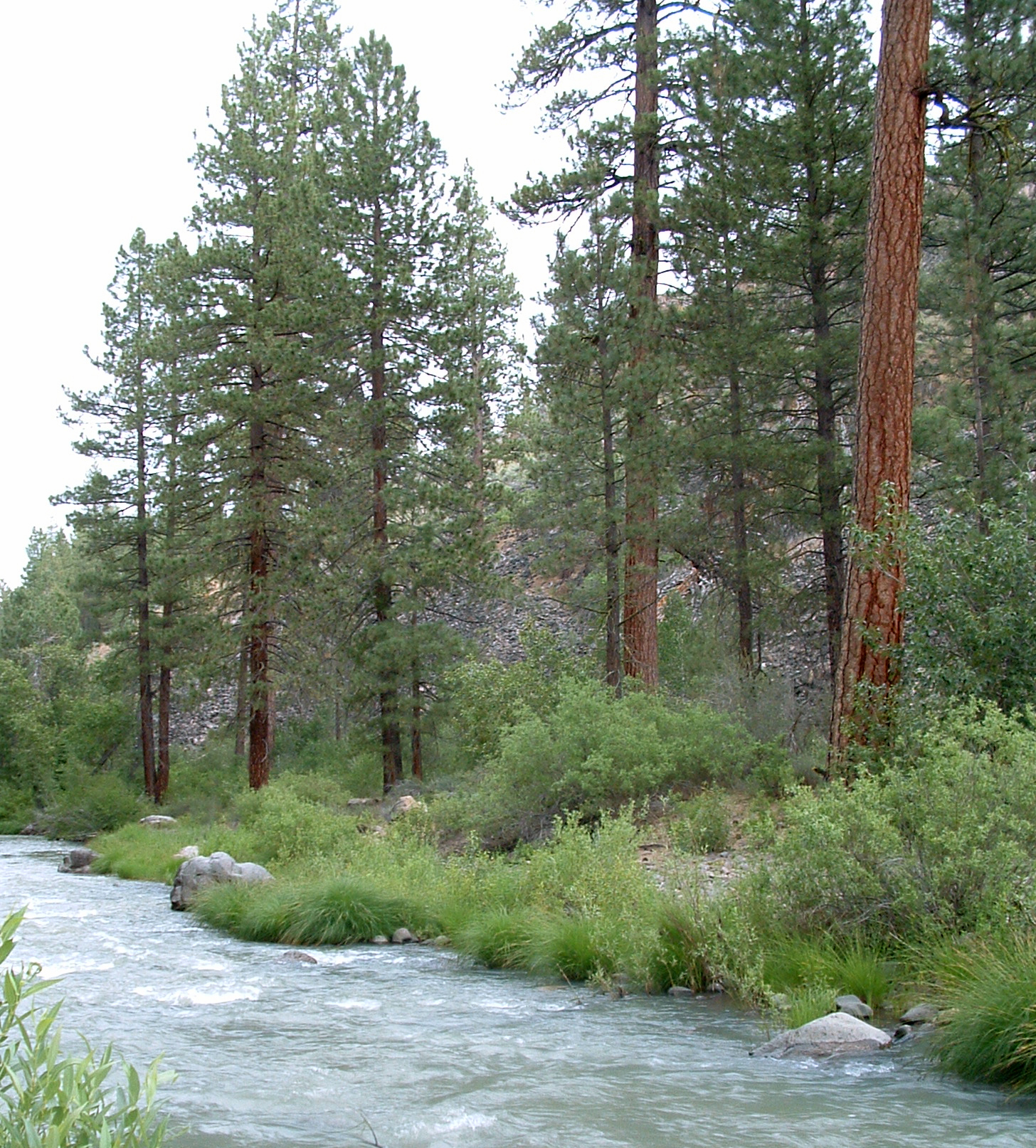
Hamilton Branch is a paddling spot in California, about 1.3 miles from the community of Hamilton Branch itself. It is a canoeing destination, and the distance from town makes it an easy stop for anyone already in the area. The most comfortable paddling months tend to fall in late spring and early fall. Typical averages from a nearby weather station at Canyon Dam, which sits a few hundred feet lower than the branch, show May highs around 68°F and September highs near 79°F. Summer runs warmer, with July highs in the mid-80s, while winter brings frequent wet days and lows in the mid-20s. Several other spots lie within a short drive. Bogard campground is about 5 miles away, and the Almanor Recreation Trail and Hidden Lake Deerheart are both roughly 6.4 miles out. Paddlers looking for more water can head to Goodrich Creek, about 7 miles away.
- BogardCamping5.1 mi
 Almanor Recreation TrailHikingPhoto: Ken Lund, CC BY-SA 2.0 (via Flickr)6.4 mi
- Hidden Lake DeerheartHiking6.4 mi
- Homer DeerheartHiking6.9 mi
 AlmanorCampingPhoto: Recreation.gov (RIDB) / public domain7 mi
- Almanor Boat LaunchLake fishing7.2 mi
- Goodrich CreekCanoeing7.2 mi
- Almanor North and South CampgroundsCamping7.3 mi
Source: Roamze catalog (indexable pages within 10 miles, PostGIS distance)
 North Fork Feather RiverCanoeing · ~16 min drivePhoto: Mrgooseskin at English Wikipedia., CC BY-SA 3.0 (via Wikimedia Commons)
- Almanor Boat LaunchBoat launch · ~12 min drive
- Butte Lake GroupTubing · ~39 min drive
 Susan RiverCanoeing · ~38 min drivePhoto: USFS Region 5, CC BY 2.0 (via Wikimedia Commons)
- Canyon Dam Boat LaunchBoat launch · ~13 min drive
- Butte LakeTubing · ~39 min drive
- Goodrich CreekCanoeing · ~12 min drive
- Juniper Lake Boat LaunchBoat launch · ~30 min drive
- Wolf CreekCanoeing · ~18 min drive
- Butte Lake Boat LaunchBoat launch · ~39 min drive
Best time to visit Hamilton Branch
Best months: April–June and August–October. Best months have typical highs of 55–85 °F, lows of 30 °F or warmer (32 °F where the station doesn't record snow), at most one snowy day and no more than 12 wet days.
Jan
42° / 25°
11 wet
Feb
45° / 26°
11 wet
Mar
51° / 29°
11 wet
Apr
58° / 32°
9 wet
May
68° / 39°
7 wet
Jun
78° / 45°
3 wet
Jul
86° / 50°
1 wet
Aug
85° / 49°
1 wet
Sep
79° / 44°
2 wet
Oct
65° / 36°
5 wet
Nov
50° / 30°
9 wet
Dec
41° / 25°
11 wet
Typical high / low (°F) and days with rain or snow, 1991–2020. Measured at Canyon Dam, CA, 8.1 mi away at 4,560 ft. This station doesn't record snowfall. Source: NOAA NCEI U.S. Climate Normals 1991–2020.
