North Fork Mattole River
- 12.6 mi
- distance
- 1,435 ft
- high point
- May–Oct
- best months
The North Fork Mattole River is a paddling route in northern California, about 3.3 miles from the town of Petrolia. The river's name makes it clear that this is the northern branch of the Mattole system, and it is a destination for canoeists and paddlers looking for moving water in this corner of the state. Summer and early fall are the driest, mildest stretch. Typical averages from the nearby Scotia weather station show highs around 70°F in July and 73°F in September, with only a few wet days a month in July through September. Winter is cooler and far wetter, with highs in the mid-50s and about 17 wet days in December and January. The East Branch North Fork Mattole River, a paddling route about 2.5 miles away, is the closest neighbor. The Bear River is roughly 5 miles off. For overnight stays, Mattole Campground sits about 7.6 miles away, and the Lost Coast Trail lies about 8.7 miles away for hikers.
Local outfitters
- Kayak Trinidad48 mi away
Not on Roamze yet. Their page has how to reach them.
- East Branch North Fork Mattole RiverCanoeing2.5 mi
 Bear RiverCanoeingPhoto: Thewellman, CC0 (via Wikimedia Commons)5.2 mi
 Mattole CampgroundCampingPhoto: Tony Webster — CC BY-SA 2.0 (via Flickr)7.6 mi
 Cooskie Creek RouteHikingPhoto: J Doll, CC BY 3.0 (via Wikimedia Commons)8.5 mi
 Lost Coast TrailHikingPhoto: J Doll, CC BY 3.0 (via Wikimedia Commons)8.7 mi
Source: Roamze catalog (indexable pages within 10 miles, PostGIS distance)
- Bear RiverCanoeing · ~9 min drivePhoto: Thewellman, CC0 (via Wikimedia Commons)
- Shelter Cove Boat LaunchBoat launch · ~44 min drive
 Mattole RiverCanoeing · ~39 min drivePhoto: Ellin Beltz, Public domain (via Wikimedia Commons)
 Usal CreekCanoeing · ~1h 10m drivePhoto: Thewellman, CC0 (via Wikimedia Commons)
 Mad RiverCanoeing · ~1h 17m drivePhoto: humboldthead, CC BY 2.0 (via Wikimedia Commons)
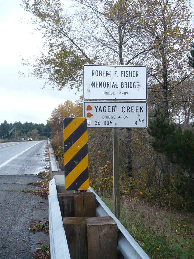 Yager CreekCanoeing · ~32 min drivePhoto: Ellin Beltz, Public domain (via Wikimedia Commons)
- East Branch North Fork Mattole RiverCanoeing · ~4 min drive
- Chris CreekCanoeing · ~31 min drive
- Salmon CreekCanoeing · ~36 min drive
- Lawrence CreekCanoeing · ~43 min drive
Best time to visit North Fork Mattole River
Best months: May–October. Best months have typical highs of 55–85 °F, lows of 30 °F or warmer (32 °F where the station doesn't record snow), at most one snowy day and no more than 12 wet days.
Jan
57° / 43°
17 wet
Feb
58° / 43°
15 wet
Mar
59° / 43°
17 wet
Apr
62° / 45°
14 wet
May
64° / 49°
10 wet
Jun
67° / 51°
5 wet
Jul
70° / 54°
2 wet
Aug
72° / 54°
1 wet
Sep
73° / 52°
3 wet
Oct
69° / 48°
7 wet
Nov
61° / 45°
14 wet
Dec
55° / 42°
17 wet
Typical high / low (°F) and days with rain or snow, 1991–2020. Measured at Scotia, CA, 11.3 mi away at 136 ft. The station sits about 1,300 ft lower than this place, so expect it a little cooler here. This station doesn't record snowfall. Source: NOAA NCEI U.S. Climate Normals 1991–2020.
