California · Canoeing · Kneeland
Grouse Creek
- 15.6 mi
- distance
- 4,050 ft
- high point
Caution today
Agency alerts are in effect for this area; weather is good · USFS, OpenWeather · checked 11 h ago
Is Grouse Creek open right now?
No closures listed
The Forest Service lists no closures for Six Rivers National Forest.
As of · Source: USFS · Six Rivers National Forest. Agencies don't list every closure — check before you go.
Grouse Creek is a 16-mile paddling stretch near Kneeland, California. It is intermittent and may run dry in some seasons. USGS models an average flow of about 228 cfs and a gradient of about 202.9 feet per mile.
Local outfitters
- Six Rivers Rafting16 mi away
- Kayak Trinidad37 mi away
Not on Roamze yet. Their page has how to reach them.
- Last Chance Ridge TrailHiking1.6 mi
- Potato Hill TrailHiking2.8 mi
- Mosquito CreekCanoeing4.4 mi
- Deer CreekCanoeing5.2 mi
- West FaceRock climbing6.4 mi
- North FaceRock climbing6.5 mi
- Slide Creek CampgroundCamping6.6 mi
- Slide Creek Cg-FCamping6.6 mi
Source: Roamze catalog (indexable pages within 10 miles, PostGIS distance)
 Mad RiverCanoeing · ~47 min drivePhoto: humboldthead, CC BY 2.0 (via Wikimedia Commons)
- Boise CreekFloat trip · ~29 min drive
- Big Flat River Access ParkingBoat launch · ~37 min drive
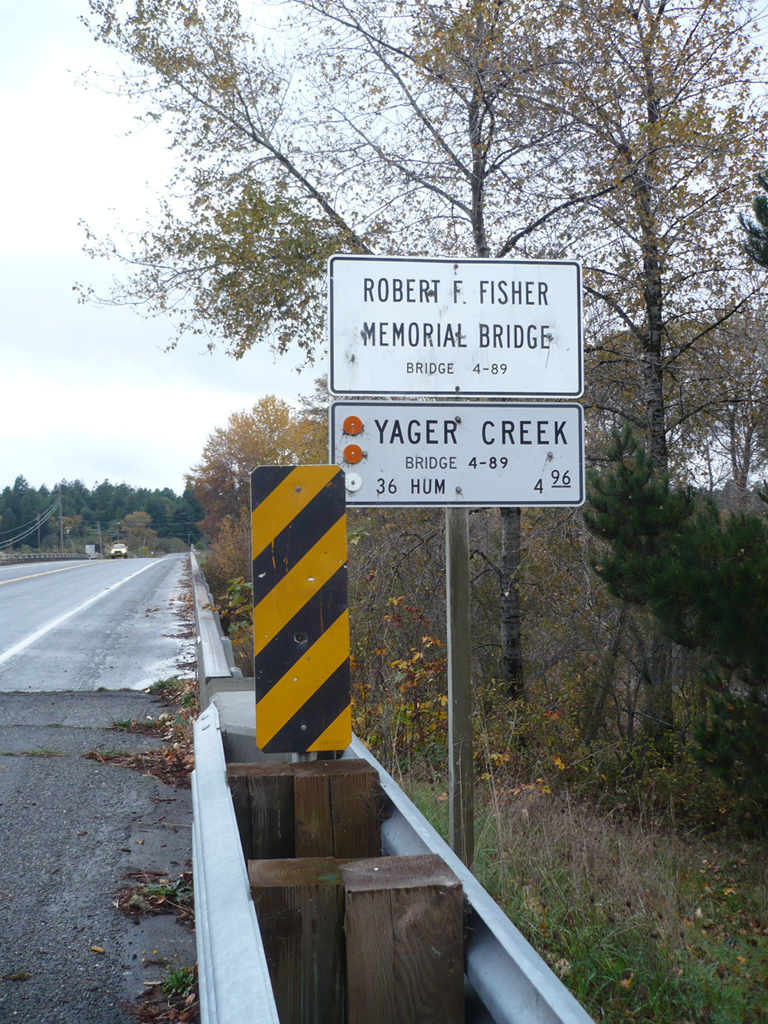 Yager CreekCanoeing · ~39 min drivePhoto: Ellin Beltz, Public domain (via Wikimedia Commons)
- Pigeon Point Boating SiteBoat launch · ~45 min drive
 Hayfork CreekCanoeing · ~47 min drivePhoto: U.S. Forest Service, Public domain (via Wikimedia Commons)
- BagdadBoat launch · ~45 min drive
- Deer CreekCanoeing · ~9 min drive
- Bug CreekCanoeing · ~12 min drive
- Pilot CreekCanoeing · ~13 min drive
