East Austin Creek
- 13.8 mi
- distance
- 1,532 ft
- high point
- Feb–Nov
- best months
East Austin Creek is a 14-mile paddling stretch near Cazadero, California, about 2.5 miles from the community of Goat Rock. The creek flows year-round, with USGS models estimating an average flow of about 92 cubic feet per second and a gradient of about 105.4 feet per mile. Summer is the most comfortable time to paddle. Typical averages from a nearby weather station in Occidental show July and August highs around 78°F with only about one wet day a month, while winter months bring highs in the mid-50s and roughly 13 wet days. Austin Creek, another paddling route, lies about 2 miles away. Gilliam Creek Trail and Pool Ridge Trail are both within about 4 miles for hikers, and Russian Gulch Creek is about 7 miles off.
Local outfitters
- Watertreks9 mi away
- River's Edge Kayak and Canoe12 mi away
Not on Roamze yet. Their page has how to reach them.
 Austin CreekCanoeingPhoto: Stepheng3, Public domain (via Wikimedia Commons)2 mi
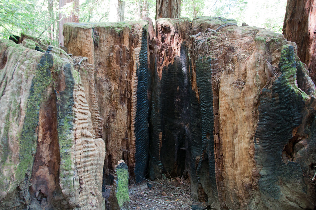 Gilliam Creek TrailHikingPhoto: Paul and Jill, CC BY 2.0 (via Flickr)3.7 mi
 Pool Ridge TrailHikingPhoto: mutovkin, CC BY 2.0 (via Flickr)4.1 mi
- Wine CountryRock climbing4.2 mi
- Russian Gulch CreekCanoeing7.1 mi
- Sea CragRock climbing8.3 mi
- Liberty Glen (lake Sonoma)Camping9.5 mi
- Boat-in Sites (lake Sonoma)Camping9.9 mi
Source: Roamze catalog (indexable pages within 10 miles, PostGIS distance)
- Austin CreekCanoeing · ~3 min drivePhoto: Stepheng3, Public domain (via Wikimedia Commons)
- Boat DockBoat launch · ~17 min drive
 Atascadero CreekCanoeing · ~29 min drivePhoto: Eugene Kim from San Francisco, USA, CC BY 2.0 (via Wikimedia Commons)
- End of Mark West Creek Kayaking RunBoat launch · ~33 min drive
 Mark West CreekCanoeing · ~33 min drivePhoto: Stepheng3 at English Wikipedia, Public domain (via Wikimedia Commons)
- Harbor seal pupping areaBoat launch · ~42 min drive
 Estero de San AntonioCanoeing · ~39 min drivePhoto: Stepheng3, Public domain (via Wikimedia Commons)
- Miller Boat LaunchBoat launch · ~47 min drive
 Santa Rosa CreekCanoeing · ~42 min drivePhoto: Covalent at en.wikipedia, CC BY-SA 3.0 (via Wikimedia Commons)
- Mike Thompson HarborBoat launch · ~60 min drive
Best time to visit East Austin Creek
Best months: February–November. Best months have typical highs of 55–85 °F, lows of 30 °F or warmer (32 °F where the station doesn't record snow), at most one snowy day and no more than 12 wet days.
Jan
56° / 42°
13 wet
Feb
58° / 43°
12 wet
Mar
61° / 44°
12 wet
Apr
66° / 45°
7 wet
May
70° / 48°
5 wet
Jun
76° / 51°
2 wet
Jul
78° / 52°
1 wet
Aug
78° / 53°
1 wet
Sep
77° / 53°
2 wet
Oct
73° / 52°
4 wet
Nov
62° / 46°
9 wet
Dec
55° / 41°
13 wet
Typical high / low (°F) and days with rain or snow, 1991–2020. Measured at Occidental, CA, 14.5 mi away at 865 ft. The station sits about 700 ft lower than this place, so expect it a little cooler here. This station doesn't record snowfall. Source: NOAA NCEI U.S. Climate Normals 1991–2020.
