Pool Ridge Trail
 Photo: mutovkin, CC BY 2.0 (via Flickr)
- 0.9 mi
- round trip
- 1,302 ft
- climb
- 1,266 ft
- high point
- Out and back
- route
- Feb–Nov
- best months
Pool Ridge Trail is a moderate out-and-back hike of about 1.8 miles in Armstrong Redwoods State Natural Reserve in California. The route gains about 863 feet one way, with the high point at 1,266 feet, and the total round trip climbs to about 1,302 feet. The trail starts near 833 feet and reaches its steepest stretch at about 0.44 miles in, where the grade tops 21%. The round trip takes about 1.5 hours, so plan on a hike that climbs steadily and then comes back down the same route. Late spring and early fall are the most comfortable times to go. Typical averages from a nearby weather station in Occidental show May highs around 70°F and September highs around 77°F, with only a few wet days in each month. That station sits a few hundred feet lower than the trail, so temperatures on the ridge run a little cooler. Gilliam Creek Trail is about 0.6 miles away, and Pioneer Nature Trail and East Ridge Trail are each about 1.1 miles off. For a different kind of outing, the Wine Country climbing area lies about 2.8 miles away.
Local outfitters
- Point Reyes Outdoors35 mi away
Not on Roamze yet. Their page has how to reach them.
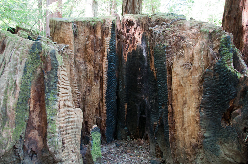 Gilliam Creek TrailHikingPhoto: Paul and Jill, CC BY 2.0 (via Flickr)0.6 mi
 Pioneer Nature TrailHikingPhoto: sarahstierch, Public Domain Dedication (CC0) (via Flickr)1.1 mi
 East Ridge TrailHikingPhoto: sarahstierch, Public Domain Dedication (CC0) (via Flickr)1.1 mi
- Wine CountryRock climbing2.8 mi
- East Austin CreekCanoeing4.1 mi
 Austin CreekCanoeingPhoto: Stepheng3, Public domain (via Wikimedia Commons)5 mi
- Mill CreekCanoeing5.3 mi
- Pomo CanyonRock climbing9.2 mi
Source: Roamze catalog (indexable pages within 10 miles, PostGIS distance)
- Pool Ridge TrailHiking · Next doorPhoto: mutovkin, CC BY 2.0 (via Flickr)
- Pioneer Nature TrailHiking · ~2 min drivePhoto: sarahstierch, Public Domain Dedication (CC0) (via Flickr)
- East Ridge TrailHiking · ~2 min drivePhoto: sarahstierch, Public Domain Dedication (CC0) (via Flickr)
- Gilliam Creek TrailHiking · ~1 min drivePhoto: Paul and Jill, CC BY 2.0 (via Flickr)
 Little Rock TrailHiking · ~12 min drivePhoto: Stepheng3, Public domain (via Wikimedia Commons)
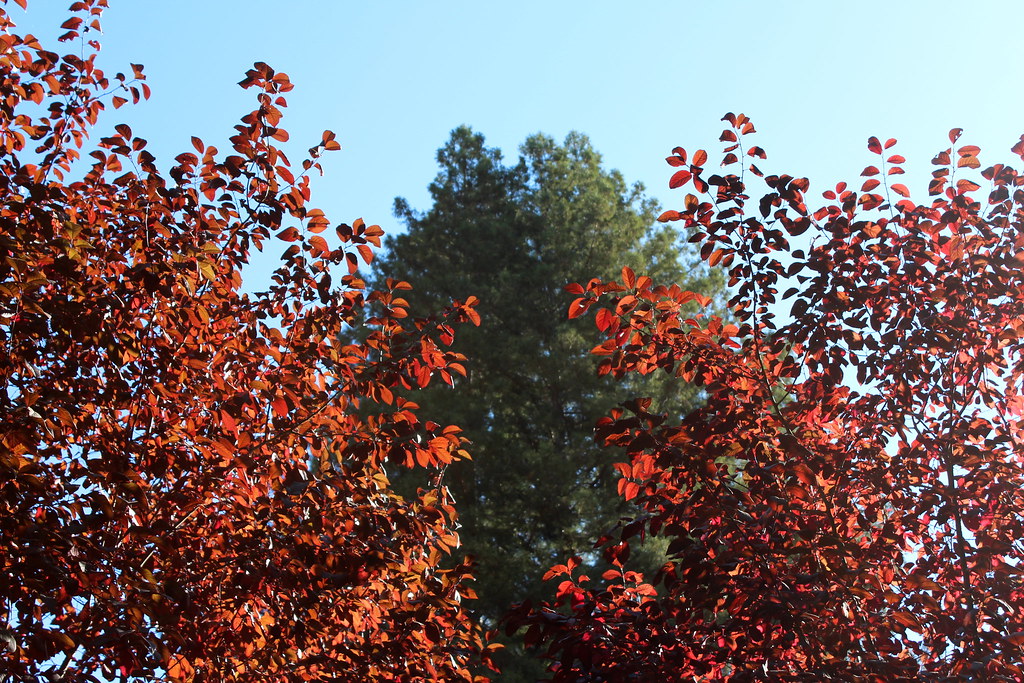 Camp Meeker TrailHiking · ~13 min drivePhoto: tsmattea1, CC BY 2.0 (via Flickr)
- Deer TrailHiking · ~9 min drivePhoto: Stepheng3, Public domain (via Wikimedia Commons)
 Huckleberry TrailHiking · ~13 min drivePhoto: Stepheng3, Public domain (via Wikimedia Commons)
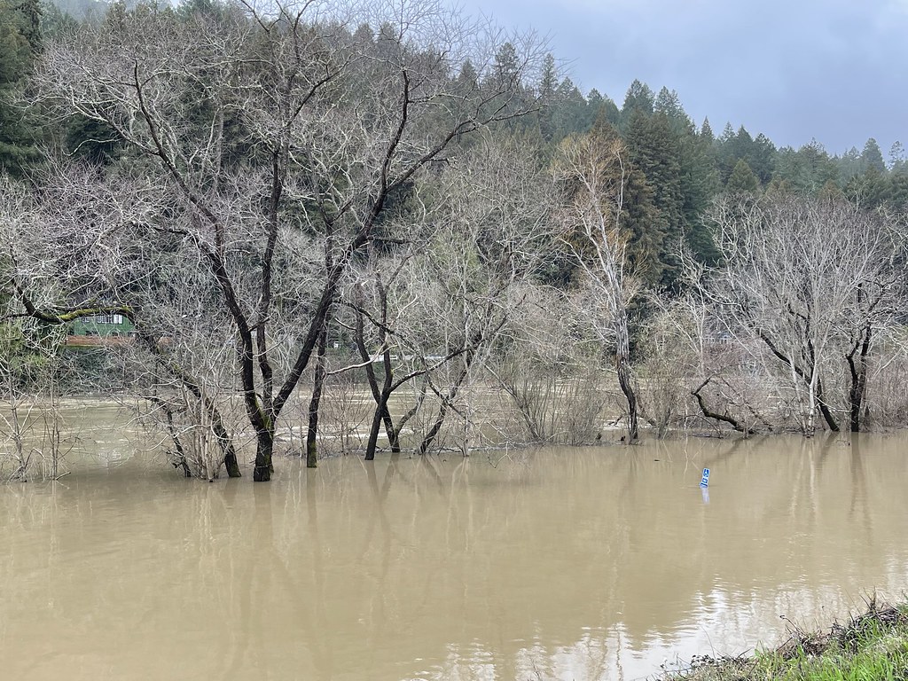 Monte Rio Redwoods TrailHiking · ~11 min drivePhoto: sarahstierch, Public Domain Dedication (CC0) (via Flickr)
- Full Monty TrailHiking · ~13 min drivePhoto: Stepheng3, Public domain (via Wikimedia Commons)
Best time to visit Pool Ridge Trail
Best months: February–November. Best months have typical highs of 55–85 °F, lows of 30 °F or warmer (32 °F where the station doesn't record snow), at most one snowy day and no more than 12 wet days.
Jan
56° / 42°
13 wet
Feb
58° / 43°
12 wet
Mar
61° / 44°
12 wet
Apr
66° / 45°
7 wet
May
70° / 48°
5 wet
Jun
76° / 51°
2 wet
Jul
78° / 52°
1 wet
Aug
78° / 53°
1 wet
Sep
77° / 53°
2 wet
Oct
73° / 52°
4 wet
Nov
62° / 46°
9 wet
Dec
55° / 41°
13 wet
Typical high / low (°F) and days with rain or snow, 1991–2020. Measured at Occidental, CA, 11.4 mi away at 865 ft. This station doesn't record snowfall. Source: NOAA NCEI U.S. Climate Normals 1991–2020.
Map and trail data © OpenStreetMap contributors
