Chowchilla River
- 22.9 mi
- distance
- 979 ft
- high point
- Oct–May
- best months
The Chowchilla River is a 23-mile paddling stretch near Raymond, California, about 3 miles from town. It is an intermittent waterway, and it may run dry in some seasons. USGS models an average flow of about 130 cubic feet per second and a gradient of about 21.4 feet per mile. Spring and fall are the most comfortable times to paddle. Typical averages from a nearby weather station show April highs around 73°F and October highs around 80°F, while July and August average in the upper 90s. Codorniz Recreation Area Campground and Chowchilla Recreation Area Day Use are both about 3.5 miles away. The San Joaquin River, another paddling option, lies about 6 miles off, and the Shaw-Shuck nature Trail is roughly 9.5 miles away.
- Codorniz Recreation Area CampgroundCamping3.5 mi
- Chowchilla Recreation Area Day UseCamping3.6 mi
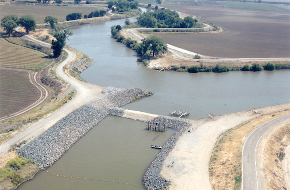 San Joaquin RiverCanoeingPhoto: MCalamari, Public domain (via Wikimedia Commons)6 mi
- Shaw-Shuck nature TrailHiking9.5 mi
- Buck RidgeCamping9.8 mi
Source: Roamze catalog (indexable pages within 10 miles, PostGIS distance)
- San Joaquin RiverCanoeing · ~10 min drivePhoto: MCalamari, Public domain (via Wikimedia Commons)
- Cordoniz Boat RampBoat launch · ~6 min drive
- ChilkootFloat trip · ~40 min drive
 Fresno RiverCanoeing · ~17 min drivePhoto: California High-Speed Rail Authority, Public domain (via Wikimedia Commons)
- Chowchilla Boat RampBoat launch · ~6 min drive
- Briceburg Put-inFloat trip · ~41 min drive
 Mariposa CreekCanoeing · ~19 min drivePhoto: LaurentianShield, CC BY-SA 4.0 (via Wikimedia Commons)
- Edison Boat RampBoat launch · ~14 min drive
 South Fork Tuolumne RiverCanoeing · ~1h 6m drivePhoto: Eeekster, CC BY 3.0 (via Wikimedia Commons)
- Bass Lake Boat LaunchBoat launch · ~38 min drive
Best time to visit Chowchilla River
Best months: October–May. Best months have typical highs of 55–85 °F, lows of 30 °F or warmer (32 °F where the station doesn't record snow), at most one snowy day and no more than 12 wet days.
Jan
56° / 38°
10 wet
Feb
61° / 40°
9 wet
Mar
66° / 42°
8 wet
Apr
73° / 44°
5 wet
May
83° / 50°
3 wet
Jun
92° / 56°
1 wet
Jul
99° / 62°
0 wet
Aug
98° / 60°
0 wet
Sep
92° / 57°
1 wet
Oct
80° / 50°
3 wet
Nov
66° / 42°
6 wet
Dec
56° / 37°
9 wet
Typical high / low (°F) and days with rain or snow, 1991–2020. Measured at Friant Government Camp, CA, 22 mi away at 410 ft. The station sits about 600 ft lower than this place, so expect it a little cooler here. Source: NOAA NCEI U.S. Climate Normals 1991–2020.

