Shaw-Shuck nature Trail
- 0.4 mi
- loop
- 63 ft
- climb
- 598 ft
- high point
- Loop
- route
- Oct–May
- best months
Clear at last check
Weather is good · OpenWeather · checked 15 h ago
Shaw-Shuck Nature Trail is a short, easy loop in California, about 0.4 miles long and rising about 63 feet from a low point of 535 feet to a high of 598 feet. The trail is a loop, and the climb is front-loaded, with the steepest stretch at about 0.09 miles in, where the grade reaches 7 percent. The trail starts and ends at nearly the same elevation, so the total gain and loss are each about 63 feet. Spring and fall are the most comfortable times to go. Typical averages from a nearby weather station at Friant Government Camp show April highs around 73°F and October highs around 80°F, while July and August average in the upper 90s. The trail is close to Buck Ridge campground, about a mile away, and Codorniz Recreation Area Campground is roughly 7.5 miles off. The Blue Heron Trail and the San Joaquin River are both within about 9 miles.
- Buck RidgeCamping1.1 mi
- Codorniz Recreation Area CampgroundCamping7.5 mi
 Blue Heron TrailHikingPhoto: Dr vulpes, CC BY-SA 4.0 (via Wikimedia Commons)8.1 mi
 Cow PathHikingPhoto: InSapphoWeTrust from Los Angeles, California, USA, CC BY-SA 2.0 (via Wikimedia Commons)8.3 mi
- Chowchilla Recreation Area Day UseCamping8.5 mi
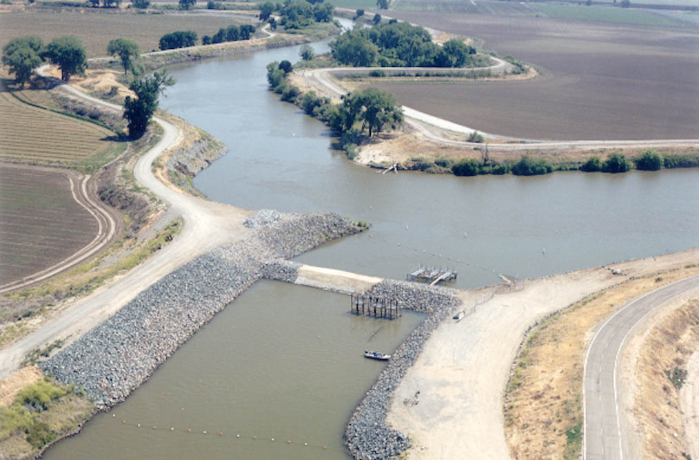 San Joaquin RiverCanoeingPhoto: MCalamari, Public domain (via Wikimedia Commons)8.8 mi
- Chowchilla RiverCanoeing9.5 mi
Source: Roamze catalog (indexable pages within 10 miles, PostGIS distance)
- Blue Heron TrailHiking · ~14 min drivePhoto: Dr vulpes, CC BY-SA 4.0 (via Wikimedia Commons)
 Blue Oak TrailHiking · ~25 min drivePhoto: niiicedave, CC BY-SA 2.0 (via Flickr)
 Pa'san Ridge TrailHiking · ~33 min drivePhoto: niiicedave, CC BY-SA 2.0 (via Flickr)
- San Joaquin River TrailHiking · ~29 min drive
- Blue Heron TrailHiking · ~14 min drivePhoto: Dr vulpes, CC BY-SA 4.0 (via Wikimedia Commons)
 Downslope TrailHiking · ~41 min drivePhoto: Bluedevil266, CC BY 2.0 (via Flickr)
- Horseshoe BendHiking · ~38 min drive
- Cow PathHiking · ~14 min drivePhoto: InSapphoWeTrust from Los Angeles, California, USA, CC BY-SA 2.0 (via Wikimedia Commons)
- Deadman TrailHiking · ~42 min drivePhoto: Bluedevil266, CC BY 2.0 (via Flickr)
- Blue Oak TrailHiking · ~25 min drivePhoto: niiicedave, CC BY-SA 2.0 (via Flickr)
Best time to visit Shaw-Shuck nature Trail
Best months: October–May. Best months have typical highs of 55–85 °F, lows of 30 °F or warmer (32 °F where the station doesn't record snow), at most one snowy day and no more than 12 wet days.
Jan
56° / 38°
10 wet
Feb
61° / 40°
9 wet
Mar
66° / 42°
8 wet
Apr
73° / 44°
5 wet
May
83° / 50°
3 wet
Jun
92° / 56°
1 wet
Jul
99° / 62°
0 wet
Aug
98° / 60°
0 wet
Sep
92° / 57°
1 wet
Oct
80° / 50°
3 wet
Nov
66° / 42°
6 wet
Dec
56° / 37°
9 wet
Typical high / low (°F) and days with rain or snow, 1991–2020. Measured at Friant Government Camp, CA, 13.6 mi away at 410 ft. Source: NOAA NCEI U.S. Climate Normals 1991–2020.
Map and trail data © OpenStreetMap contributors
