Bradburn Creek
- 4.2 mi
- distance
- 3,416 ft
- high point
- Apr–May, Oct
- best months
Caution at last check
Agency alerts are in effect for this area; weather is good · USFS, OpenWeather · checked 14 h ago
Is Bradburn Creek open right now?
No closures listed
The Forest Service lists no closures for Six Rivers National Forest.
As of · Source: USFS · Six Rivers National Forest. Agencies don't list every closure — check before you go.
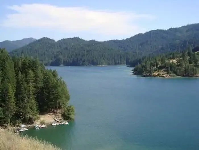
Bradburn Creek is a 4.2-mile paddling stretch near Zenia, California, within the Mad River Ranger District of Six Rivers National Forest. The U.S. Forest Service manages the land along the creek, and the route is intermittent, with the water running dry in some seasons. USGS models an average flow of about 66 cubic feet per second and a gradient of about 313.5 feet per mile. Late spring and early fall tend to be the most comfortable times to paddle. Typical averages from a nearby weather station in Weaverville show May highs around 77°F and October highs around 75°F, while July and August average in the mid-90s. The Bradburn hike starts about a mile away, and the West Fork North Fork Eel River is about 1.8 miles off. Kettenpom Creek and Mud Creek, both paddling routes, lie within about 5 miles.
- BradburnHiking0.9 mi
- West Fork North Fork Eel RiverCanoeing1.8 mi
- Kettenpom CreekCanoeing3.9 mi
- Mud CreekCanoeing5 mi
- Packwood Flat TrailHiking6 mi
- Packwood FlatHiking6.4 mi
- Bailey Canyon CampgroundCamping9.7 mi
 Fir Cove CampgroundCampingPhoto: Recreation.gov (RIDB) / public domain10 mi
Source: Roamze catalog (indexable pages within 10 miles, PostGIS distance)
 Mad RiverCanoeing · ~16 min drivePhoto: humboldthead, CC BY 2.0 (via Wikimedia Commons)
 Middle Fork Eel RiverCanoeing · ~41 min drivePhoto: humboldthead, CC BY 2.0 (via Wikimedia Commons)
 Hayfork CreekCanoeing · ~43 min drivePhoto: U.S. Forest Service, Public domain (via Wikimedia Commons)
- West Fork North Fork Eel RiverCanoeing · ~3 min drive
- Kettenpom CreekCanoeing · ~7 min drive
- Mud CreekCanoeing · ~9 min drive
- South Dobbyn CreekCanoeing · ~12 min drive
- North Fork Eel RiverCanoeing · ~13 min drive
- Kekawaka CreekCanoeing · ~14 min drive
- Barry CreekCanoeing · ~14 min drive
Best time to visit Bradburn Creek
Best months: April–May and October. Best months have typical highs of 55–85 °F, lows of 30 °F or warmer (32 °F where the station doesn't record snow), at most one snowy day and no more than 12 wet days.
Jan
50° / 31°
16 wet
Feb
55° / 31°
14 wet
Mar
61° / 33°
14 wet
Apr
68° / 36°
10 wet
May
77° / 42°
7 wet
Jun
86° / 46°
4 wet
Jul
95° / 52°
1 wet
Aug
94° / 50°
1 wet
Sep
88° / 44°
2 wet
Oct
75° / 36°
6 wet
Nov
57° / 33°
13 wet
Dec
47° / 31°
17 wet
Typical high / low (°F) and days with rain or snow, 1991–2020. Measured at Weaverville, CA, 44.7 mi away at 2,058 ft. The station sits about 1,400 ft lower than this place, so expect it a little cooler here. This station doesn't record snowfall. Source: NOAA NCEI U.S. Climate Normals 1991–2020.

