First Divide Trail
- 0.6 mi
- round trip
- 45 ft
- climb
- Singletrack
- surface
- Out and back
- route
- Apr–Jun, Sep–Nov
- best months
Is First Divide Trail open right now?
Alert in the area
The Forest Service lists an alert for Tahoe National Forest.
Camping and Campfire Restrictions-Truckee and Sierraville Districts
Agency alert covering Tahoe National Forest · Order 17-25-05 · USFS · Tahoe National Forest
As of · Source: USFS · Tahoe National Forest. Agencies don't list every closure — check before you go.
The First Divide Trail is a short, easy mountain biking route in California's Tahoe National Forest, within the Yuba River Ranger District. The trail is an out-and-back that covers about 1.2 miles, with a low point of 3,274 feet and a high of 3,320 feet, so the one-way climb is about 45 feet. The Forest Service manages the land. Late spring and early fall are the most comfortable times to ride. Typical averages from the nearby Downieville weather station show May highs around 72°F and October highs around 72°F, while July and August average highs near 89°F. That station sits about 400 feet lower than the trail, so temperatures on the route run a little cooler. The Downie River, a canoeing spot, is about 1.5 miles away, and the Downie River Trail is about 2.3 miles off. Union Flat campground is about 3.5 miles away, and the Free For All Valley climbing area is about 9.3 miles away.
Local outfitters
- Alpenglow Expeditions41 mi away
Not on Roamze yet. Their page has how to reach them.
Best time to go · Apr–Jun, Sep–Nov
Best time to visit First Divide Trail
Best months: April–June and September–November. Best months have typical highs of 55–85 °F, lows of 30 °F or warmer (32 °F where the station doesn't record snow), at most one snowy day and no more than 12 wet days.
Jan
48° / 30°
12 wet · 2 snow
Feb
52° / 31°
11 wet · 2 snow
Mar
58° / 33°
11 wet · 2 snow
Apr
63° / 36°
9 wet · 1 snow
May
72° / 42°
7 wet
Jun
81° / 46°
3 wet
Jul
89° / 51°
1 wet
Aug
89° / 50°
1 wet
Sep
83° / 46°
2 wet
Oct
72° / 39°
5 wet
Nov
56° / 33°
9 wet · 1 snow
Dec
46° / 29°
12 wet · 2 snow
Typical high / low (°F) and days with rain or snow, 1991–2020. Measured at Downieville, CA, 2.8 mi away at 2,915 ft. Source: NOAA NCEI U.S. Climate Normals 1991–2020.
Keep exploring — more rides worth the drive
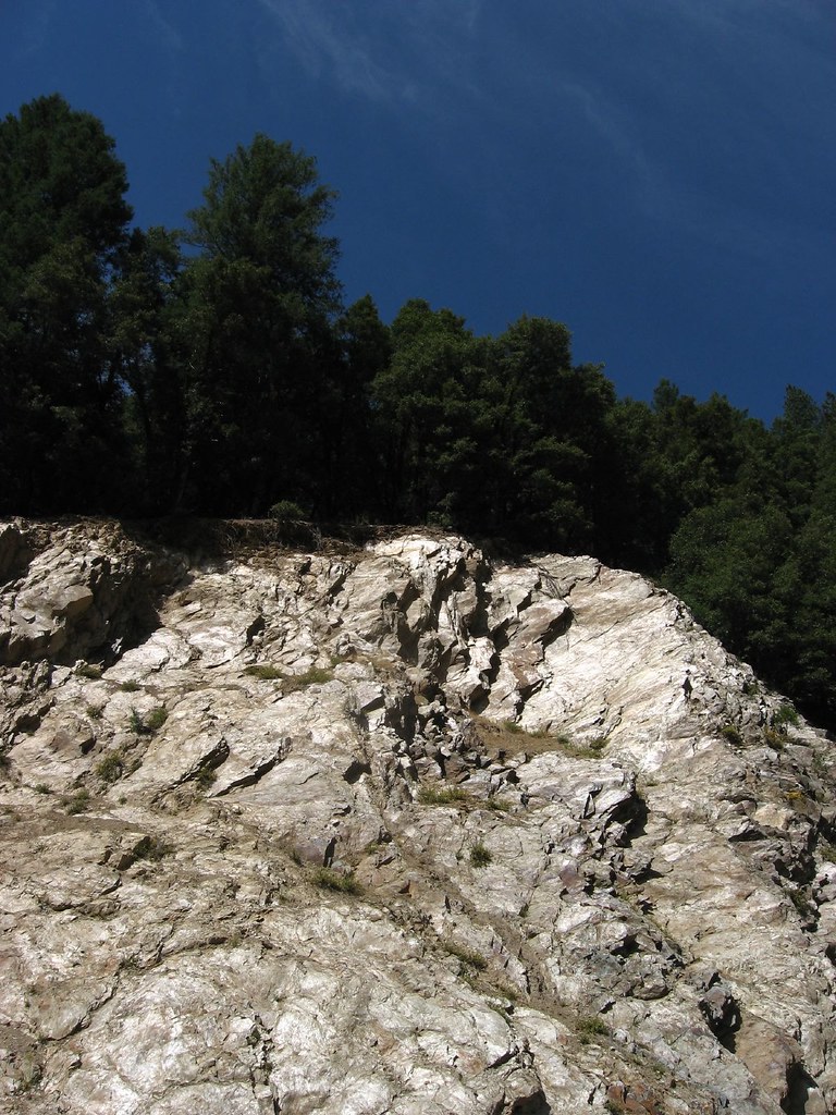
 Photo: Charlie Pankey, CC BY-SA 4.0 (via Wikimedia Commons)
Sardine Lake Overlook
~15 min drive
0.32-mile trail in Sierra Buttes, California with 309 ft elevation gain.
RIDE
First Divide Trail
Next door
2.62-mile easy singletrack with 1922 ft gain in California
RIDE
Second Divide Trail
~5 min drive
4.48-mile out-and-back singletrack in California with 1,799 ft of elevation gain.
RIDE
Mount Washington Trail
~15 min drive
1.37-mile out-and-back singletrack in California with 658 ft elevation gain
RIDE
Jamison Creek Trail
~17 min drive
Jamison Creek Trail is an expert-level singletrack trail in California.
Photo: Charlie Pankey, CC BY-SA 4.0 (via Wikimedia Commons)Sand Pond Interpretive
~16 min drive
0.09-mile trail in Sierra Buttes with 10 ft elevation gain.
RIDE
Third Divide Trail
~5 min drive
2.07-mile easy singletrack out-and-back in California with 804 ft gain.
RIDE
Mills Peak Trail
~20 min drive
7.02-mile out-and-back singletrack with 433 ft gain in California.
RIDE
Wades/Jamison Lake Connector
~16 min drive
0.46-mile hard out-and-back trail in California with 72 ft elevation gain.
Photo: Charlie Pankey, CC BY-SA 4.0 (via Wikimedia Commons)Packer Lake Snowmobile Tr
~17 min drive
0.69-mile trail in Sierra Buttes, California with 169 ft of elevation gain.


Map and trail data © OpenStreetMap contributors
