Laguna Seca Fox Hill Camping
Campground
Campground · 4.6 mi from the trail
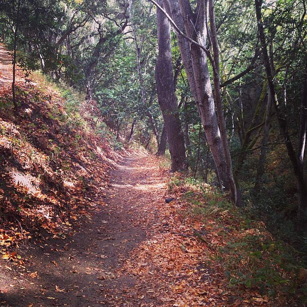
Pipeline Trail is a 4.7-mile out-and-back mountain biking route in Toro Regional Park, on county land in California. It starts at an elevation of 356 feet and climbs to a high point of 1,428 feet, with an elevation gain of 1,057 feet one way. Late summer and early fall are the warmest, driest stretch. Typical averages from a nearby weather station in Carmel Valley show September highs around 81°F and lows near 51°F, with almost no wet days. That station sits well below the trail, so temperatures on the climb run cooler. The route is rated hard. Mark's Canyon Trail lies just 0.1 mile away for a nearby mountain biking option. Hikers can head to Simas Peak Trail and Gilson Gap Trail, both under a mile off, or to Cougar Ridge Trail about 1.5 miles away.
Laguna Seca Fox Hill Camping
Campground
Gino's Restaurant
Restaurant
 If it rainsLordHarris at English Wikipedia, CC BY-SA 3.0 · Wikimedia Commons
Places © OpenStreetMap contributors · Photos: LordHarris at English Wikipedia, CC BY-SA 3.0 (commons)
More in Gonzales Carmel RiverCanoeingPhoto: David.c.stone, CC BY 3.0 (via Wikimedia Commons)9.7 mi
Source: Roamze catalog (indexable pages within 10 miles, PostGIS distance)
 Trail 44Mountain biking · ~7 min drivePhoto: blmcalifornia, Public domain (via Wikimedia Commons)
 CarrizoMountain biking · ~1h 1m drivePhoto: Thomson200, CC0 (via Wikimedia Commons)
 North Coast RidgeMountain biking · ~1h 2m drivePhoto: garmonb0zia, CC0 (via Wikimedia Commons)
Best months: Year-round. Best months have typical highs of 55–85 °F, lows of 30 °F or warmer (32 °F where the station doesn't record snow), at most one snowy day and no more than 12 wet days.
Jan
63° / 40°
11 wet
Feb
64° / 41°
10 wet
Mar
67° / 41°
10 wet
Apr
69° / 43°
7 wet
May
71° / 46°
4 wet
Jun
76° / 48°
1 wet
Jul
78° / 51°
0 wet
Aug
80° / 51°
0 wet
Sep
81° / 51°
1 wet
Oct
78° / 48°
3 wet
Nov
69° / 42°
7 wet
Dec
63° / 40°
11 wet
Typical high / low (°F) and days with rain or snow, 1991–2020. Measured at Carmel Valley, CA, 7 mi away at 480 ft. The station sits about 900 ft lower than this place, so expect it a little cooler here. This station doesn't record snowfall. Source: NOAA NCEI U.S. Climate Normals 1991–2020.
Map and trail data © OpenStreetMap contributors