Laguna Seca Corkscrew Camping
Campground
Campground · 4.4 mi from the trail
Clear at last check
Weather is good · OpenWeather · checked 13 h ago
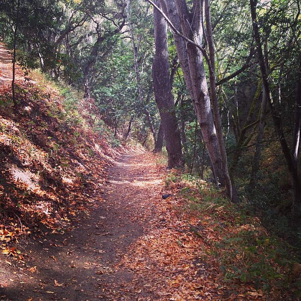
Mark's Canyon Trail is a short, moderate mountain biking route in Toro Regional Park in California, managed by county land. The out-and-back ride covers about 1.5 miles with a total elevation gain of 213 feet, climbing from a low of 431 feet to a high of 658 feet. For the most comfortable conditions, aim for late spring or early fall. Typical averages from a nearby weather station in Carmel Valley show May highs around 71°F with only about four wet days, and September highs near 81°F. That station sits a few hundred feet lower than the trail, so temperatures up top run a little cooler. The trail sits close to several other routes. The Toyon Trail and Deer Trail are both under a mile away. The Pipeline Trail, another mountain biking route, is about a mile off, and the Bessie Canyon Trail is just under a mile away.
Laguna Seca Corkscrew Camping
Campground
 If it rainsLordHarris at English Wikipedia, CC BY-SA 3.0 · Wikimedia Commons
Places © OpenStreetMap contributors, Places © Overture Maps Foundation · Photos: LordHarris at English Wikipedia, CC BY-SA 3.0 (commons)
More in GonzalesSource: Roamze catalog (indexable pages within 10 miles, PostGIS distance)
 Trail 44Mountain biking · ~6 min drivePhoto: blmcalifornia, Public domain (via Wikimedia Commons)
Best months: Year-round. Best months have typical highs of 55–85 °F, lows of 30 °F or warmer (32 °F where the station doesn't record snow), at most one snowy day and no more than 12 wet days.
Jan
63° / 40°
11 wet
Feb
64° / 41°
10 wet
Mar
67° / 41°
10 wet
Apr
69° / 43°
7 wet
May
71° / 46°
4 wet
Jun
76° / 48°
1 wet
Jul
78° / 51°
0 wet
Aug
80° / 51°
0 wet
Sep
81° / 51°
1 wet
Oct
78° / 48°
3 wet
Nov
69° / 42°
7 wet
Dec
63° / 40°
11 wet
Typical high / low (°F) and days with rain or snow, 1991–2020. Measured at Carmel Valley, CA, 7.9 mi away at 480 ft. This station doesn't record snowfall. Source: NOAA NCEI U.S. Climate Normals 1991–2020.
Map and trail data © OpenStreetMap contributors