Humboldt
- 9.7 mi
- distance
- 1,893 ft
- climb
Is Humboldt open right now?
Closure in the area
There's a closure order in Shasta-Trinity National Forest. It doesn't name Humboldt, so check the source for the area it covers (2 listed).
Mud and Ash Creek Area and Road Closure
Agency closure covering Shasta-Trinity National Forest · Order 14-26-13 · USFS · Shasta-Trinity National Forest
Road Closure on Wild Mad Road
Agency closure covering Shasta-Trinity National Forest · Order 14-25-09 · USFS · Shasta-Trinity National Forest
Trout Creek Bridge Closure Order
Agency alert covering Shasta-Trinity National Forest · Order 14-26-02 · USFS · Shasta-Trinity National Forest
South Fork Suspension Bridge Closure
Agency alert covering Shasta-Trinity National Forest · Order 14-25-30 · USFS · Shasta-Trinity National Forest
Ah-Di-Na Area Closure
Agency alert covering Shasta-Trinity National Forest · Order 14-25-10 · USFS · Shasta-Trinity National Forest
As of · Source: USFS · Shasta-Trinity National Forest. Agencies don't list every closure — check before you go.
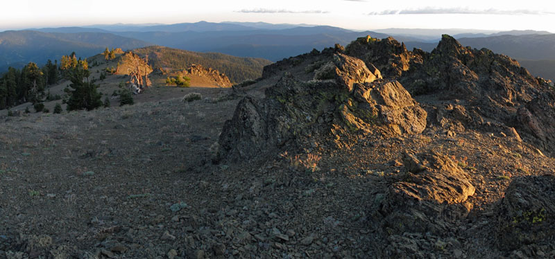
Humboldt is a 9.68-mile trail in the North Yolla Bolly Mountains, California, gaining 2,487 feet of elevation. The trail is managed by the Forest Service.
- Low Gap / Humbolt TieMountain biking · ~1 min drive
- Oak Knoll Trailhead ConnectorMountain biking · ~54 min drive
- Mule RidgeMountain biking · ~55 min drive
- CosmosMountain biking · ~56 min drive
- Sanford RidgeMountain biking · ~2 min drive
- Dirt Road ConnectMountain biking · ~59 min drive
- Snail TrailMountain biking · ~59 min drive
- South Fork Cottonwood CreekMountain biking · ~3 min drive
- Princess Ditch TrailMountain biking · ~59 min drive
- Barker Camp TieMountain biking · ~3 min drive

Map and trail data © OpenStreetMap contributors
