Alviso Slough Trail
- 0.2 mi
- round trip
- Mixed
- surface
- Out and back
- route
- Jan–Dec
- best months
Alviso Slough Trail is a short, easy mountain biking route on county land within the Alviso Marina in California. The trail is an out-and-back about 0.46 miles long, with a negligible climb of 13 feet above the 9-foot low point. The most comfortable stretch for riding runs from late spring through early fall. Typical averages from a nearby weather station at Moffett Federal Airfield show May highs around 72°F and September highs near 78°F, with almost no wet days from June through August. Dogs are not allowed on this route, which makes it a straightforward outing for a single ride. The trail sits within a cluster of walking paths, so riders can pair it with a longer hike. Mallard Slough Trail is about 1.2 miles away, and Coyote Creek Trail is roughly 2.9 miles off. Farther afield, paddlers can head to Calaveras Creek or the Guadalupe River, both about 10 miles away.
Local outfitters
- Half Moon Bay Kayak Company28 mi away
- Parkwide Bike and Surrey Rentals36 mi away
Not on Roamze yet. Their page has how to reach them.
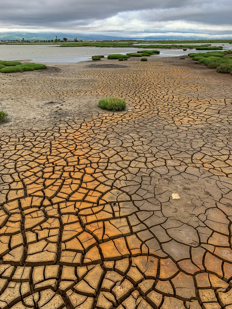 Mallard Slough TrailHikingPhoto: donjd2, CC BY 2.0 (via Flickr)1.2 mi
 Mallard Slough Trail SpurHikingPhoto: PLeia2, CC BY 2.0 (via Flickr)2 mi
- Coyote Creek TrailHiking2.9 mi
- Redwood TrailHiking3.4 mi
- West Lagoon TrailHiking3.5 mi
- Calaveras CreekCanoeing9.5 mi
- Guadalupe RiverCanoeing9.9 mi
 Alameda CreekCanoeingPhoto: Pi.1415926535, CC BY-SA 4.0 (via Wikimedia Commons)10 mi
Source: Roamze catalog (indexable pages within 10 miles, PostGIS distance)
 Lower Calaveras Fault TrailMountain biking · ~19 min drivePhoto: Douglass Clem, CC BY-SA 3.0 (via Wikimedia Commons)
- Alviso Slough TrailMountain biking · Next door
- Saratoga Gap TrailMountain biking · ~24 min drive
 Summit Rock Loop TrailMountain biking · ~26 min drivePhoto: Vadim Manuylov, CC BY-SA 3.0 (via Wikimedia Commons)
- Alviso Slough TrailMountain biking · ~2 min drive
 Saratoga Gap TrailMountain biking · ~27 min drivePhoto: Vadim Manuylov, CC BY-SA 3.0 (via Wikimedia Commons)
- Mallard Slough TrailMountain biking · ~2 min drive
 Goat Rock TrailMountain biking · ~27 min drivePhoto: Vadim Manuylov, CC BY-SA 3.0 (via Wikimedia Commons)
- Alviso Slough TrailMountain biking · ~3 min drive
- San Francisco Bay TrailMountain biking · ~16 min drive
Best time to visit Alviso Slough Trail
Best months: Year-round. Best months have typical highs of 55–85 °F, lows of 30 °F or warmer (32 °F where the station doesn't record snow), at most one snowy day and no more than 12 wet days.
Jan
59° / 42°
11 wet
Feb
62° / 44°
11 wet
Mar
65° / 47°
10 wet
Apr
68° / 49°
6 wet
May
72° / 53°
3 wet
Jun
76° / 56°
1 wet
Jul
77° / 59°
0 wet
Aug
77° / 59°
0 wet
Sep
78° / 57°
1 wet
Oct
74° / 53°
4 wet
Nov
66° / 46°
8 wet
Dec
59° / 42°
10 wet
Typical high / low (°F) and days with rain or snow, 1991–2020. Measured at Moffett Federal Airfield, CA, 4.2 mi away at 39 ft. This station doesn't record snowfall. Source: NOAA NCEI U.S. Climate Normals 1991–2020.
Map and trail data © OpenStreetMap contributors
