Canyon Camp
Campground
Campground · 2.8 mi from the trail
Caution today
Weather is marginal · OpenWeather · checked 6 h ago
Yu '- kǐs (Live Oak Trail) is a 1.3-mile loop hike in San Vicente Redwoods (CEMEX), a land unit managed by a non-governmental organization in California. The trail is rated easy, with a steady climb of about 250 feet from the start to the high point at 2,672 feet, and a similar descent back to the starting elevation of about 2,631 feet. The route is a loop, so it begins and ends at the same point. The most comfortable months for a visit are typically late spring and early fall. Typical averages from a nearby weather station show May highs around 67°F and September highs near 79°F, with only a few wet days in each. That station sits about 400 feet lower than the trail, so temperatures on the route run a little cooler. The hike takes about half an hour to complete. The rŭm - me' (Canyon Trail) starts just 0.1 mile away, and the APPROXIMATED hu' - mǐs (Great Horned Owl Trail) is about 0.9 mile off. Fall Creek Trail lies roughly 2.9 miles away, and the San Lorenzo River, a canoeing route, is about 3.1 miles away.
Canyon Camp
Campground
Fosters Freeze
Fast food
 If it rainsMrwrite, CC BY-SA 3.0 · Wikimedia Commons
Places © OpenStreetMap contributors · Photos: Mrwrite, CC BY-SA 3.0 (commons)
More in Pescadero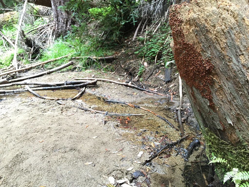 Fall Creek TrailHikingPhoto: fogcat5, CC BY-SA 2.0 (via Flickr)2.9 mi
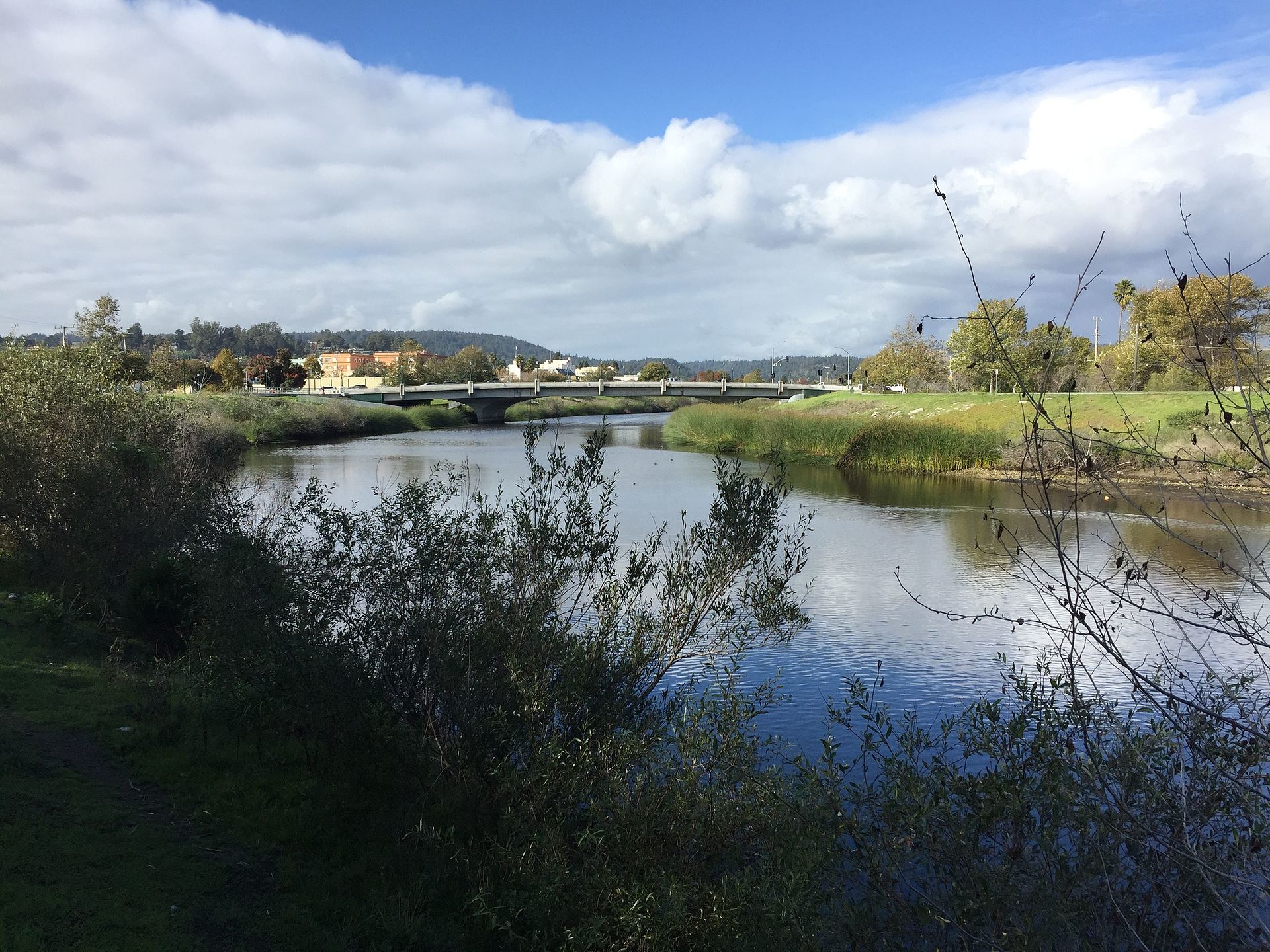 San Lorenzo RiverCanoeingPhoto: Chevy111, CC BY-SA 4.0 (via Wikimedia Commons)3.1 mi
Source: Roamze catalog (indexable pages within 10 miles, PostGIS distance)
Fall Creek TrailHiking · ~5 min drivePhoto: fogcat5, CC BY-SA 2.0 (via Flickr) Lost Empire TrailHiking · ~5 min drivePhoto: fogcat5, CC BY-SA 2.0 (via Flickr)Big Ben TrailHiking · ~5 min drivePhoto: fogcat5, CC BY-SA 2.0 (via Flickr)
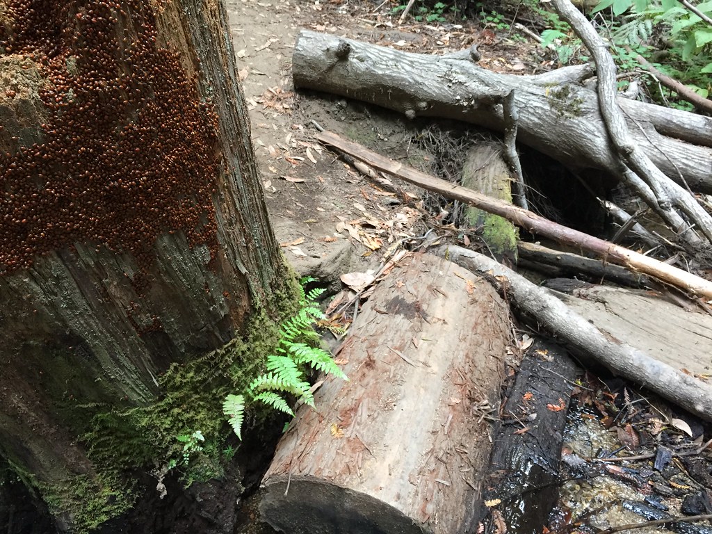 Big Ben TrailHiking · ~5 min drivePhoto: fogcat5, CC BY-SA 2.0 (via Flickr)
 Penstock Truck TrailHiking · ~9 min drivePhoto: Reforma.imufomot, CC BY-SA 3.0 (via Wikimedia Commons)
 Cape Horn TrailHiking · ~8 min drivePhoto: fogcat5, CC BY-SA 2.0 (via Flickr)
 Sunlit TrailHiking · ~5 min drivePhoto: fogcat5, CC BY-SA 2.0 (via Flickr)
 Fall Creek South Fork TrailHiking · ~8 min drivePhoto: Alexander Hatley, CC BY 2.0 (via Flickr)
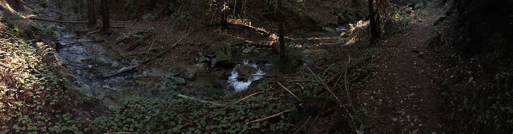 Truck TrailHiking · ~6 min drivePhoto: regexman, CC BY 2.0 (via Flickr)
 Gilchrist TrailHiking · ~8 min drivePhoto: dwhartwig, CC BY 2.0 (via Flickr)
Best months: April–November. Best months have typical highs of 55–85 °F, lows of 30 °F or warmer (32 °F where the station doesn't record snow), at most one snowy day and no more than 12 wet days.
Jan
55° / 41°
14 wet
Feb
55° / 40°
14 wet
Mar
58° / 41°
13 wet
Apr
62° / 43°
10 wet
May
67° / 47°
7 wet
Jun
75° / 52°
3 wet
Jul
81° / 58°
1 wet
Aug
81° / 59°
1 wet
Sep
79° / 57°
2 wet
Oct
71° / 52°
6 wet
Nov
60° / 44°
11 wet
Dec
54° / 40°
15 wet
Typical high / low (°F) and days with rain or snow, 1991–2020. Measured at Skyline Ridge Preserve, CA, 14.2 mi away at 2,270 ft. This station doesn't record snowfall. Source: NOAA NCEI U.S. Climate Normals 1991–2020.
Map and trail data © OpenStreetMap contributors
