River Grove RV Park
Campground
Campground · 3.9 mi from the trail
 Photo: fogcat5, CC BY-SA 2.0 (via Flickr)
Sunlit Trail is a short, easy out-and-back hike in California, about 2.3 miles from the town of Brackney. The route is just over half a mile long, with a total elevation gain of about 122 feet, and it reaches a high point of 2,090 feet. The trail is a quick stop rather than a full-day outing. It takes about half an hour to complete, and the climb is front-loaded, with the steepest stretch at the start, around 12%. The trail starts and ends at about 2,013 feet. Late spring and early fall are the most comfortable times to go. Typical averages from the nearby Skyline Ridge Preserve weather station show June highs around 75°F and September highs around 79°F, with only a day or two of rain in July and August. That station sits roughly 180 feet above the trail, so temperatures here should run similarly. Big Ben Trail and Lost Empire Trail both start about 0.3 miles away, and Fall Creek Trail is about 0.7 miles off. Paddlers can head to the San Lorenzo River, roughly 2.5 miles away.
River Grove RV Park
Campground
 If it rainsMrwrite, CC BY-SA 3.0 · Wikimedia Commons
Places © OpenStreetMap contributors · Photos: Mrwrite, CC BY-SA 3.0 (commons)
More in Pescadero Big Ben TrailHikingPhoto: fogcat5, CC BY-SA 2.0 (via Flickr)0.3 miLost Empire TrailHikingPhoto: fogcat5, CC BY-SA 2.0 (via Flickr)0.3 mi
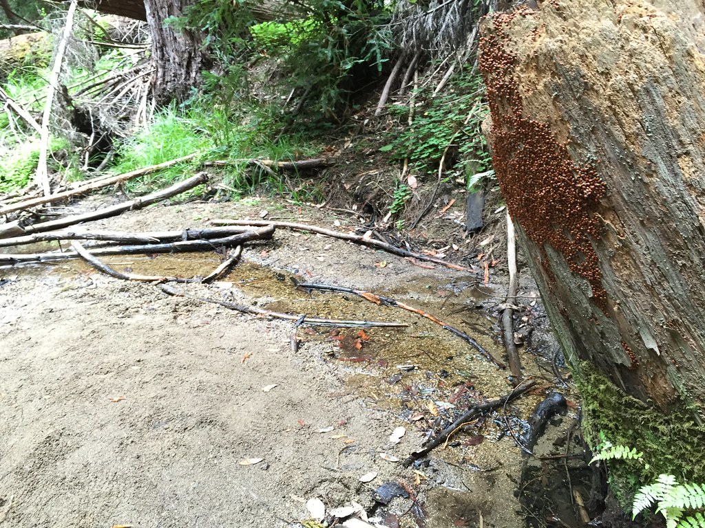 Fall Creek TrailHikingPhoto: fogcat5, CC BY-SA 2.0 (via Flickr)0.7 mi
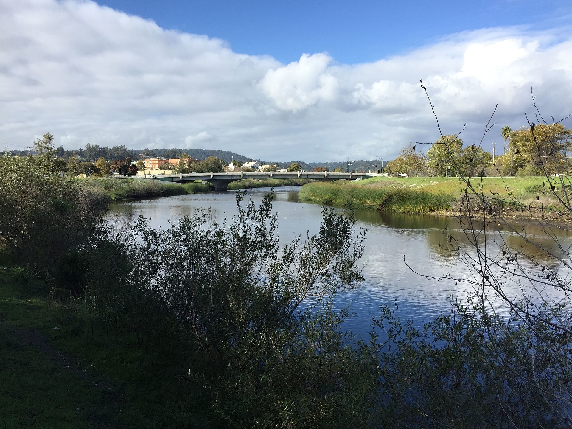 San Lorenzo RiverCanoeingPhoto: Chevy111, CC BY-SA 4.0 (via Wikimedia Commons)2.5 mi
Source: Roamze catalog (indexable pages within 10 miles, PostGIS distance)
Big Ben TrailHiking · Next doorPhoto: fogcat5, CC BY-SA 2.0 (via Flickr)Lost Empire TrailHiking · Next doorPhoto: fogcat5, CC BY-SA 2.0 (via Flickr)Fall Creek TrailHiking · ~1 min drivePhoto: fogcat5, CC BY-SA 2.0 (via Flickr) Cape Horn TrailHiking · ~3 min drivePhoto: fogcat5, CC BY-SA 2.0 (via Flickr)
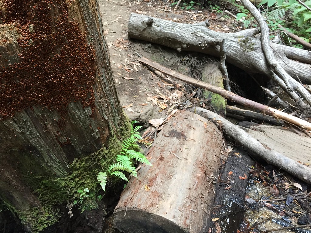 Big Ben TrailHiking · ~1 min drivePhoto: fogcat5, CC BY-SA 2.0 (via Flickr)
 Fall Creek South Fork TrailHiking · ~3 min drivePhoto: Alexander Hatley, CC BY 2.0 (via Flickr)
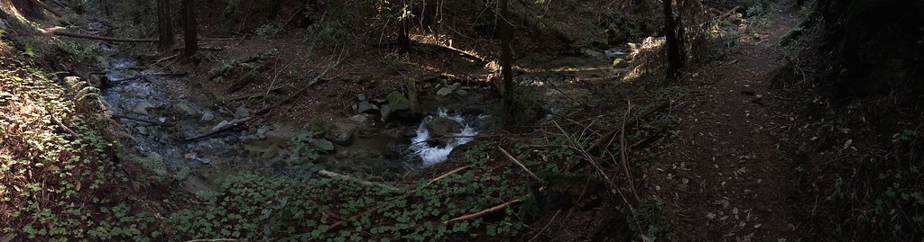 Truck TrailHiking · ~2 min drivePhoto: regexman, CC BY 2.0 (via Flickr)Fall Creek TrailHiking · ~4 min drivePhoto: Alexander Hatley, CC BY 2.0 (via Flickr)Fall Creek TrailHiking · ~3 min drivePhoto: fogcat5, CC BY-SA 2.0 (via Flickr)
 Warrenella Truck TrailHiking · ~7 min drivePhoto: Dheera Venkatraman, CC BY-SA 3.0 (via Wikimedia Commons)
Best months: April–November. Best months have typical highs of 55–85 °F, lows of 30 °F or warmer (32 °F where the station doesn't record snow), at most one snowy day and no more than 12 wet days.
Jan
55° / 41°
14 wet
Feb
55° / 40°
14 wet
Mar
58° / 41°
13 wet
Apr
62° / 43°
10 wet
May
67° / 47°
7 wet
Jun
75° / 52°
3 wet
Jul
81° / 58°
1 wet
Aug
81° / 59°
1 wet
Sep
79° / 57°
2 wet
Oct
71° / 52°
6 wet
Nov
60° / 44°
11 wet
Dec
54° / 40°
15 wet
Typical high / low (°F) and days with rain or snow, 1991–2020. Measured at Skyline Ridge Preserve, CA, 17.2 mi away at 2,270 ft. This station doesn't record snowfall. Source: NOAA NCEI U.S. Climate Normals 1991–2020.
Map and trail data © OpenStreetMap contributors
