Loading…

Free — you'll pick up right here.
Watch this trail
Sign up to watch it — saving subscribes you to gate, closure and report changes.
California
820 ft
Gain
We won't guess. Here is exactly what we do and don't know.
What we do know
Inside Yosemite National Park
National Park unit boundary is mapped — agency alerts for it feed this page automatically.
Boundary data
What's missing
No access route mapped
We don't yet know which road reaches this trailhead, so we can't tell you if it's gated.
Nobody's filed a report here yet — be the first.
Why you'll love it
Yosemite Creek and Ten Lakes Trailhead
AI-suggested draft · review before you go
No permit or access details on file for this trail — check with the local land manager before you go.
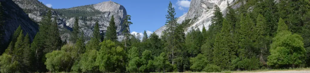
<p>On the north side of Tioga Road, an unpaved parking lot sits next to the Ten Lakes trailhead. Directly across the street, on the south side of Tioga Road, there is a paved parking area as well as the Yosemite Creek trailhead.</p> <h2>Ten Lakes</h2> <p>To reach the lakes, follow this trail through conifers and across granite to cross a tributary of Yosemite Creek. Continue on the trail to Ten Lakes Pass, the headwaters of Yosemite Creek, overlooking the Grand Canyon of the Tuolumne and the Sierra Crest. Descend 693 feet (211 m) into the Ten Lakes Basin, returning the way you came.</p> <p><strong>Distance: </strong>12.6 mi (20.3 km) round-trip<br /> <strong>Elevation gain: </strong>2,200 ft (671 m)<br /> <strong>Time estimate: </strong>7-9 hours<br /> <br /> <strong>Route variations: </strong>For a shorter hike with slightly less elevation change, turn around at the view at Ten Lakes Pass instead. To see even more lakes, take a side trip to Grant Lakes via a 1-mile spur (each way) below Ten Lakes Pass.</p> <h2>Tips & Seasonal Information</h2> <p>Both trails include unbridged stream crossings. Early in the season, when water can be very high, cold, and swift, use caution when crossing streams or turn back when crossing is not safe.<br /> <br /> Bicycles and pets are not permitted on hiking trails. Vault toilets are available at the Yosemite Creek trailhead parking area.<br /> <br /> Both trailheads are only reachable by vehicle when Tioga Road is open, typically late May or early June to sometime in October or November.<br /> <br /> Tioga Road closes after the first significant snowfall. Overnight parking on this road, including this trailhead, ends October 15. For current road and weather information, please call 209/372-0200 (press 1, then 1).</p>
Sunrise Lakes Trailhead
~10 min drive
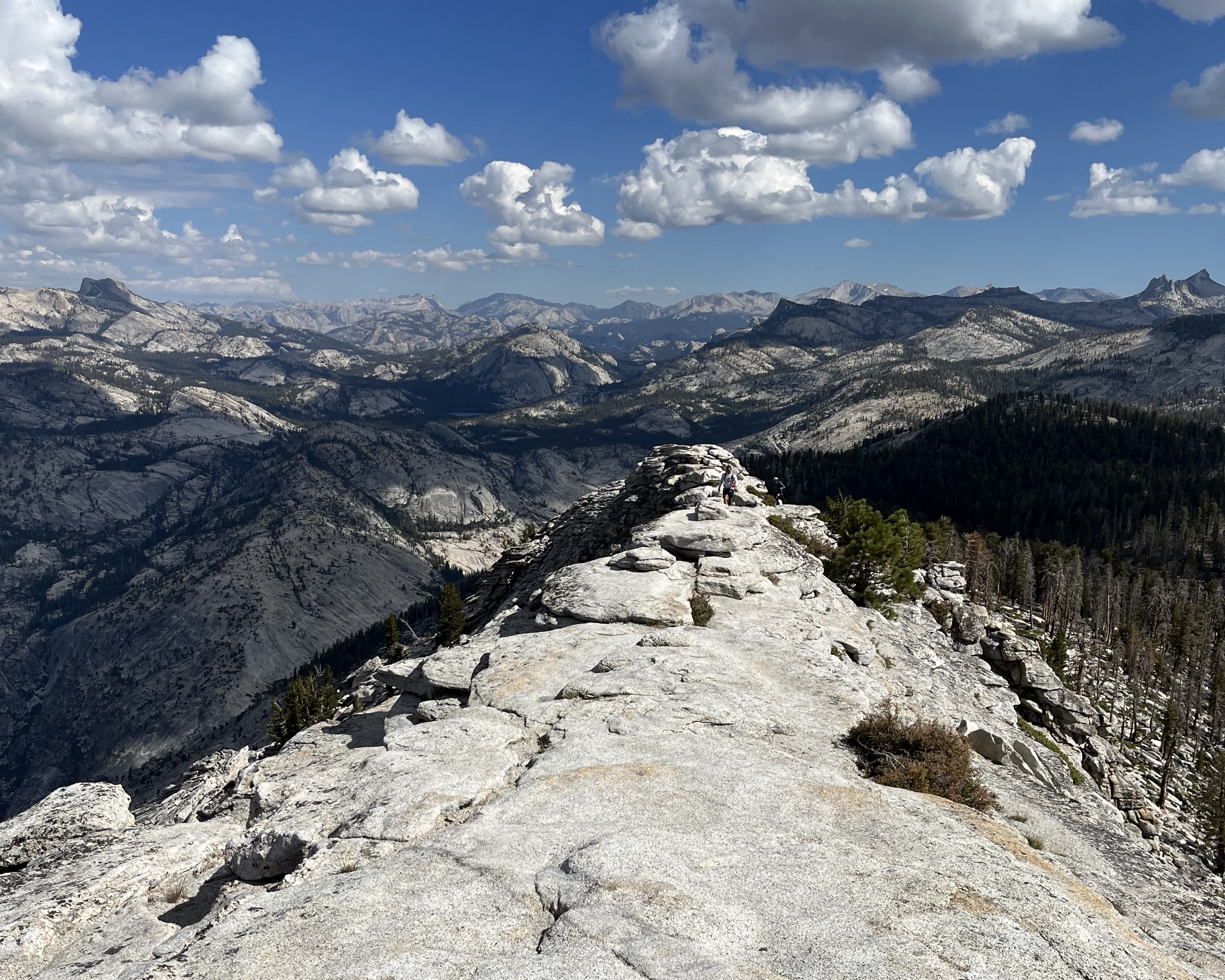
<h2>Sunrise Lakes</h2> <p>Indeed, a beautiful place to see sunrise, the lakes at Sunrise reflect the colors in the sky as well as the domed peaks that surround it. A short distance from the lakes, the Sunrise High Sierra Camp faces east for sunrise views. Reservations are requ…
McGurk Meadow Trailhead
~22 min drive
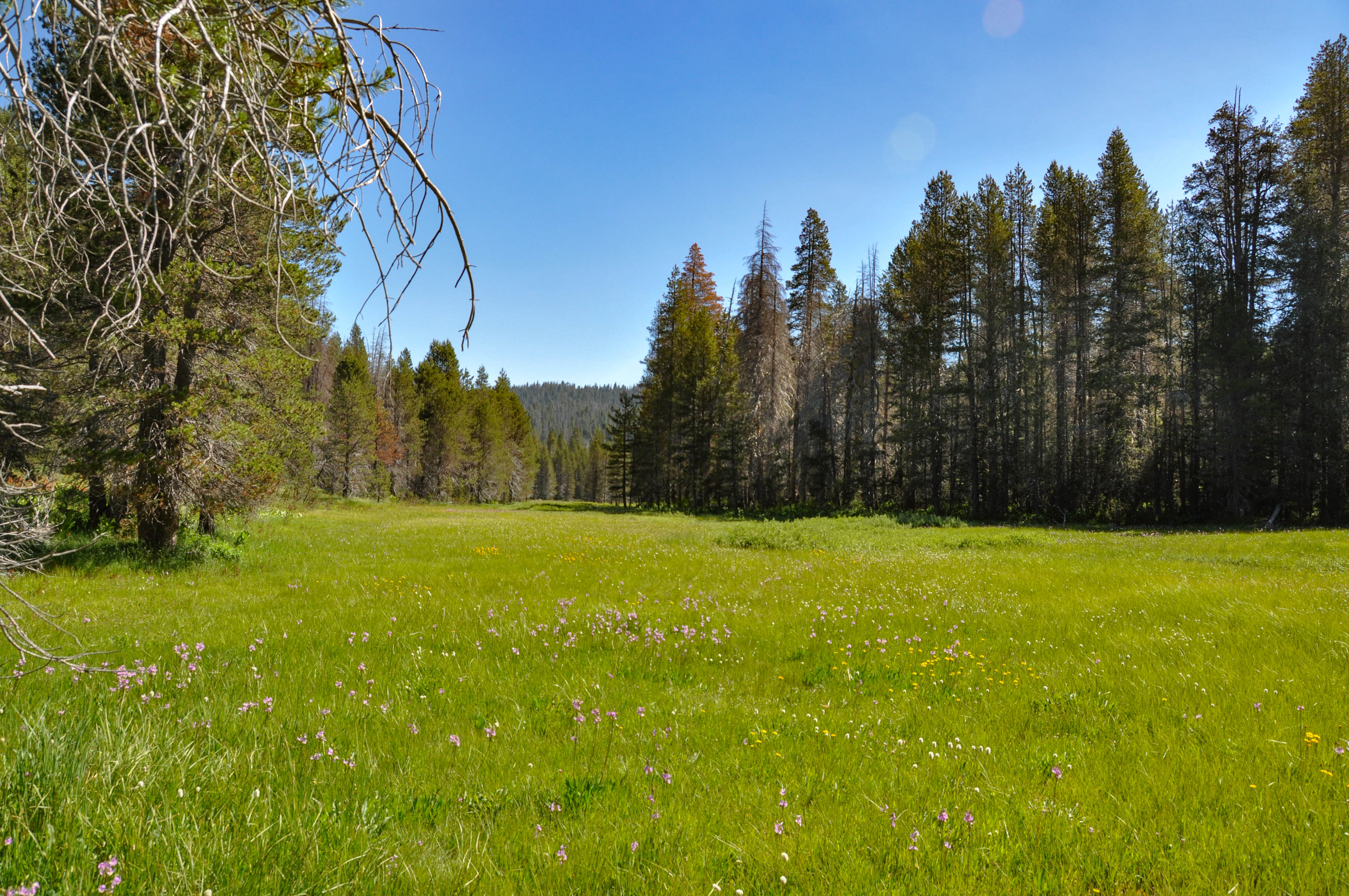
<h2>McGurk Meadow</h2> <p>The trail leads downhill to McGurk Meadow and the site of an old cabin that belonged to sheepherder John McGurk. During early summer, look for a tremendous show of wildflowers.</p> <p><strong>Distance: </strong>1.6 miles (2.5 km) round-trip<br /> <str…
Yosemite Border
~30 min drive
Scenic 3.25-mile hike along Yosemite's border with moderate elevation gain.
Shell Lake
~31 min drive
Easy alpine lake hike with minimal elevation gain and scenic water views.
Lower Yosemite Fall Trailhead
~13 min drive
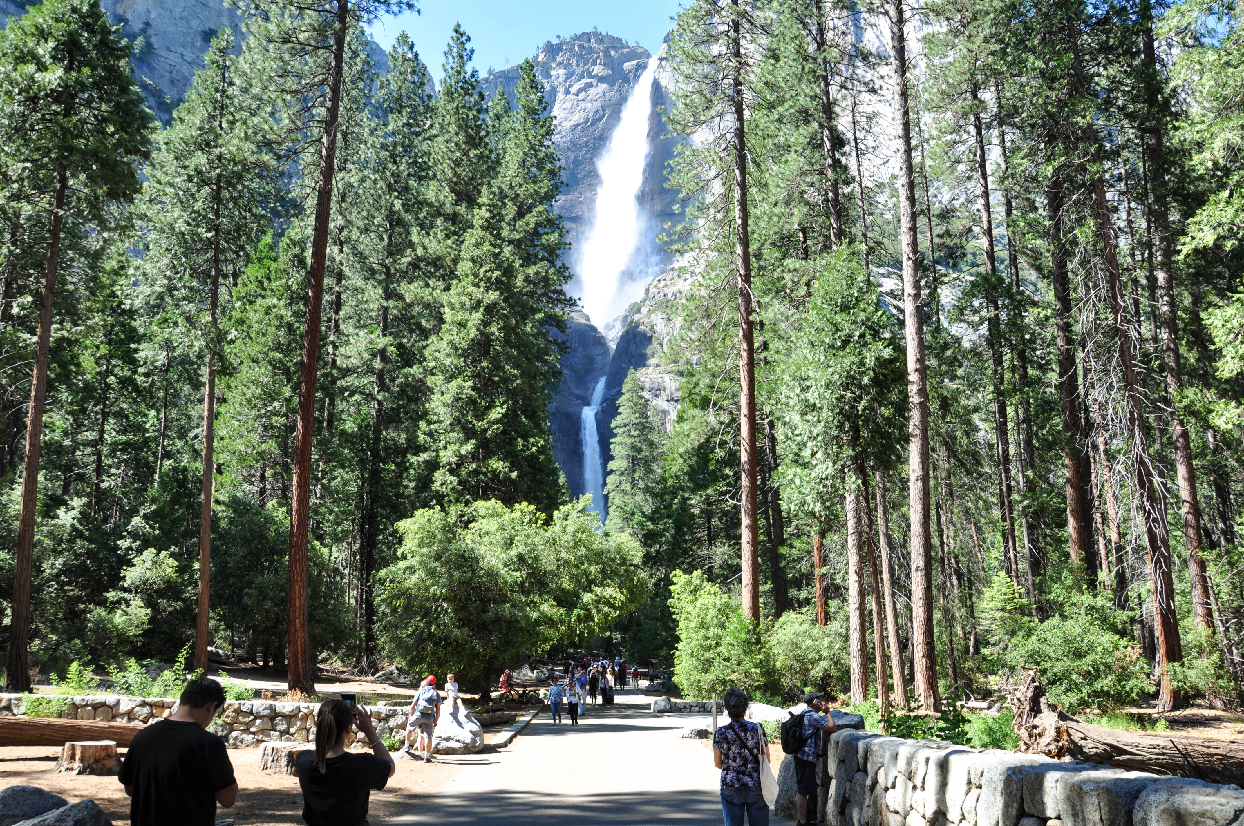
<p>This short, easy walk rewards visitors with spectacular views of both Upper and Lower Yosemite Falls. This paved loop trail offers different vantage points of Yosemite Falls and Yosemite Creek. Numerous exhibits along the trail discuss the natural and cultural history of th…
Mather
~26 min drive
Easy 2.62-mile trail with 387 ft gain near Mather, California.
Black Bear Lake
~36 min drive
Easy 3-mile hike to a scenic alpine lake with 384 ft elevation gain.
Huckleberry Trail
~34 min drive
A demanding 46-mile backcountry trail for experienced hikers seeking extended wilderness adventure.
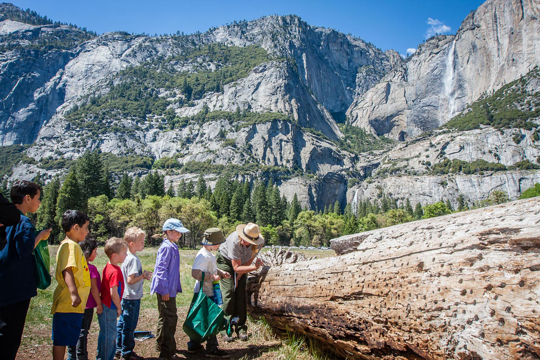
Cook's Meadow Loop Trailhead
~13 min drive
<p>This short, easy walk offers stunning views of Yosemite Falls, Half Dome, and Sentinel Rock as well as a vibrant example of the rich biodiversity in Yosemite's meadows. From Yosemite Village, walk west along the bicycle path toward Lower Yosemite Fall or take the Valleywide…
Trail 322150010602
~29 min drive
Quick 1-mile trail with steady elevation gain in California.