Loading…

Free — you'll pick up right here.
Watch this trail
Sign up to watch it — saving subscribes you to gate, closure and report changes.
California
860 ft
Gain
We won't guess. Here is exactly what we do and don't know.
What we do know
Inside Yosemite National Park
National Park unit boundary is mapped — agency alerts for it feed this page automatically.
Boundary data
What's missing
No access route mapped
We don't yet know which road reaches this trailhead, so we can't tell you if it's gated.
Nobody's filed a report here yet — be the first.
Why you'll love it
Sunrise Lakes Trailhead
AI-suggested draft · review before you go
No permit or access details on file for this trail — check with the local land manager before you go.
<h2>Sunrise Lakes</h2> <p>Indeed, a beautiful place to see sunrise, the lakes at Sunrise reflect the colors in the sky as well as the domed peaks that surround it. A short distance from the lakes, the Sunrise High Sierra Camp faces east for sunrise views. Reservations are required for lodging at all High Sierra Camps.</p> <p><strong>Distance: </strong>10.4 mi (16.7 km) round-trip<br /> <strong>Elevation gain: </strong>1,300 ft (396 m)<br /> <strong>Time estimate: </strong>6-8 hours</p> <h2>Clouds Rest</h2> <p>Situated at 9,926 ft above sea level, the summit of Clouds Rest affords hikers spectacular, 360-degree views of Tenaya Canyon, Yosemite Valley, and countless high Sierra peaks. The final ascent toward the summit follows a narrow granite ridgeline. <strong>Caution: stay off this summit and ridgeline during thunderstorms or when wet.</strong><br /> <br /> <strong>Distance:</strong> 14 mi (22.5 km) round-trip<br /> <strong>Elevation gain:</strong> 2,300 ft (700 m)<br /> <strong>Time estimate:</strong> 8-10 hours</p> <h2>Tips & Seasonal Information</h2> <p>Pets and bicycles are not allowed on hiking trails. Vault toilets are available at this trailhead. A composting toilet is available seasonally at Sunrise High Sierra Camp (this is not on the route to Clouds Rest).<br /> <br /> This trailhead is only reachable by vehicle when Tioga Road is open, typically late May or early June to sometime in October or November.<br /> <br /> Tioga Road closes after the first significant snowfall. Overnight parking on this road, including this trailhead, ends October 15. For current road and weather information, please call 209/372-0200 (press 1, then 1).</p>
Yosemite Creek and Ten Lakes Trailhead
~10 min drive
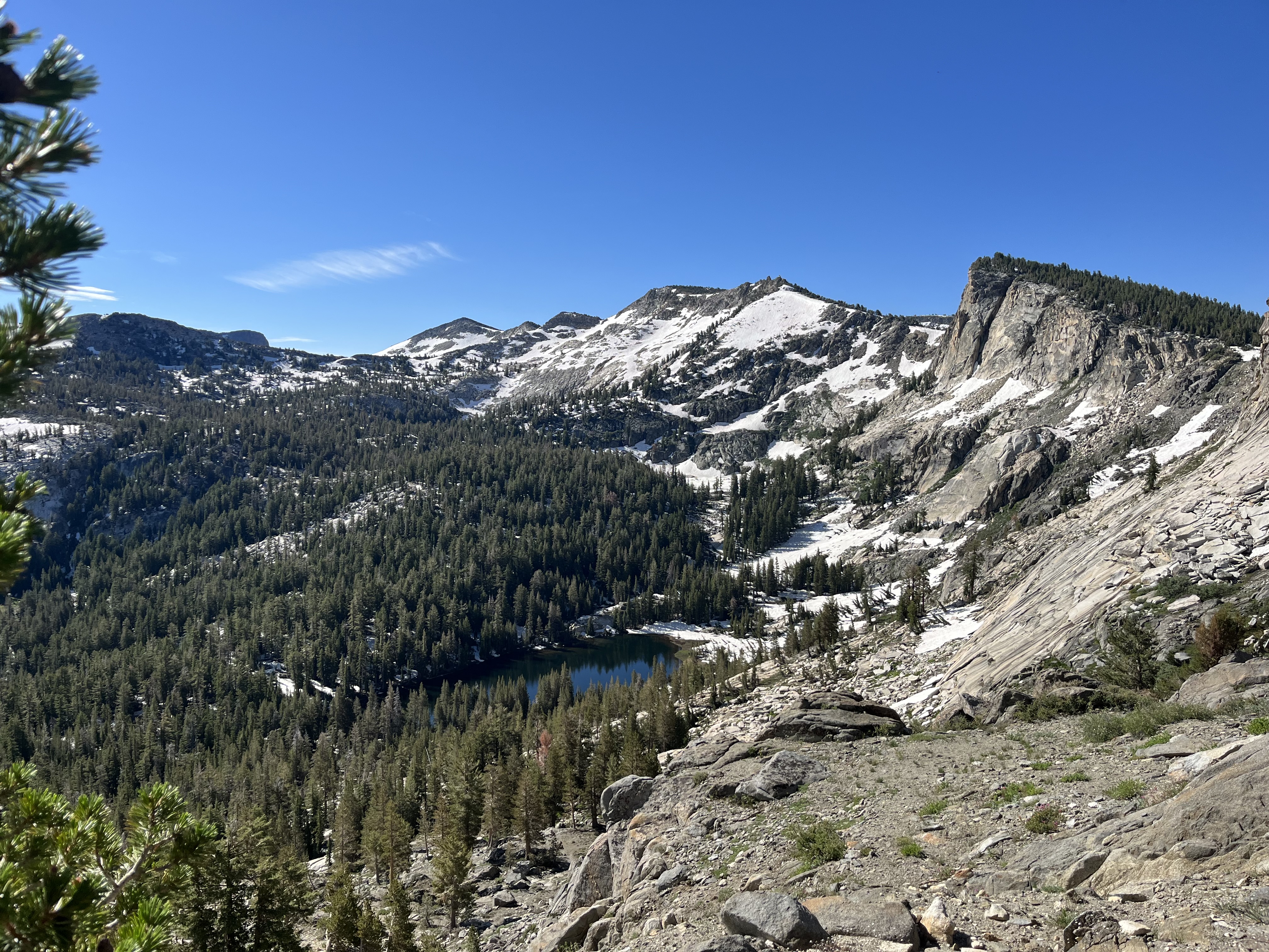
<p>On the north side of Tioga Road, an unpaved parking lot sits next to the Ten Lakes trailhead. Directly across the street, on the south side of Tioga Road, there is a paved parking area as well as the Yosemite Creek trailhead.</p> <h2>Ten Lakes</h2> <p>To reach the lakes, fo…
McGurk Meadow Trailhead
~24 min drive
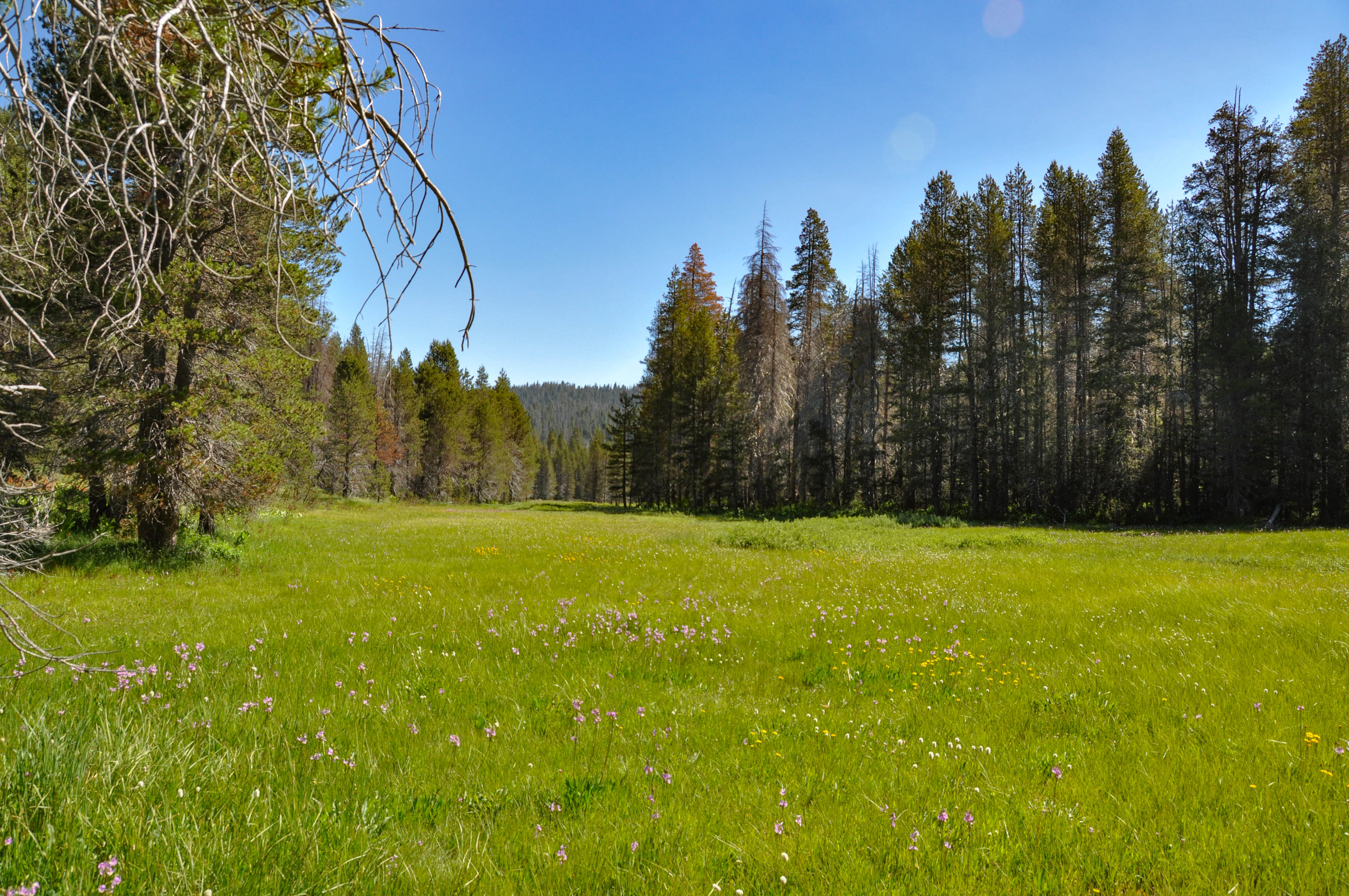
<h2>McGurk Meadow</h2> <p>The trail leads downhill to McGurk Meadow and the site of an old cabin that belonged to sheepherder John McGurk. During early summer, look for a tremendous show of wildflowers.</p> <p><strong>Distance: </strong>1.6 miles (2.5 km) round-trip<br /> <str…
Shell Lake
~24 min drive
Easy alpine lake hike with minimal elevation gain and scenic water views.
Bloody Canyon
~28 min drive
Steep alpine climb with 2,080 ft gain offering dramatic Sierra views.
Cathedral Lakes Trailhead
~11 min drive
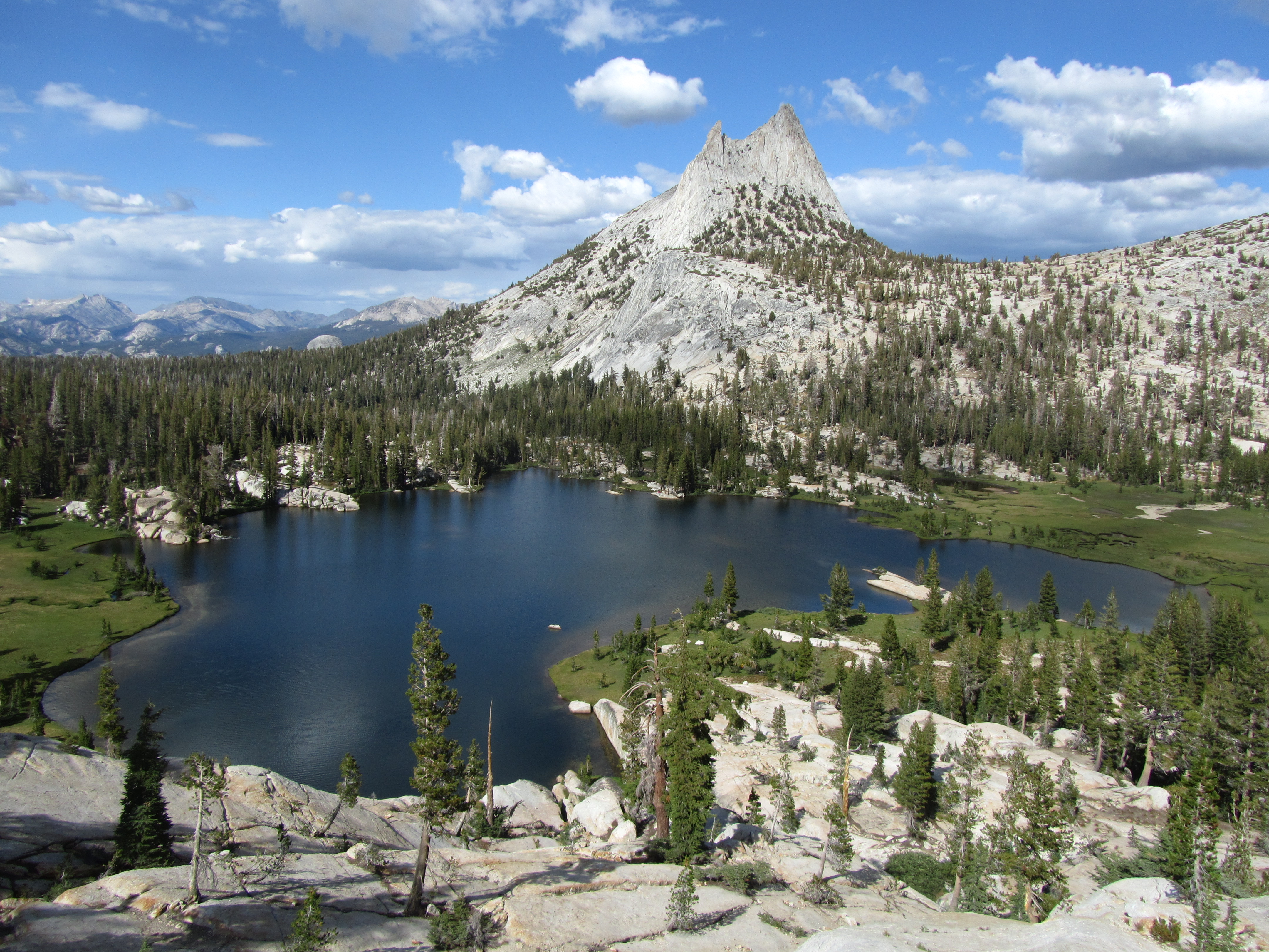
<p>Cathedral Lakes are nestled at the foot of Cathedral Peak. In addition to the lakes themselves, hikers will enjoy views of Cathedral Peak and Echo Peak. The trail through this area is part of the John Muir Trail, which sees high traffic all season. The area is also popular…
Saddlebag Lake Loop
~25 min drive
Easy alpine lake loop with minimal elevation gain and spectacular Sierra views.
Marie Lakes
~24 min drive
Steep alpine lake hike with dramatic elevation gain in under 2 miles.
Stevenson
~29 min drive
A 4-mile trail with 984 ft gain near Stevenson, California.
Elizabeth Lake Trailhead
~12 min drive
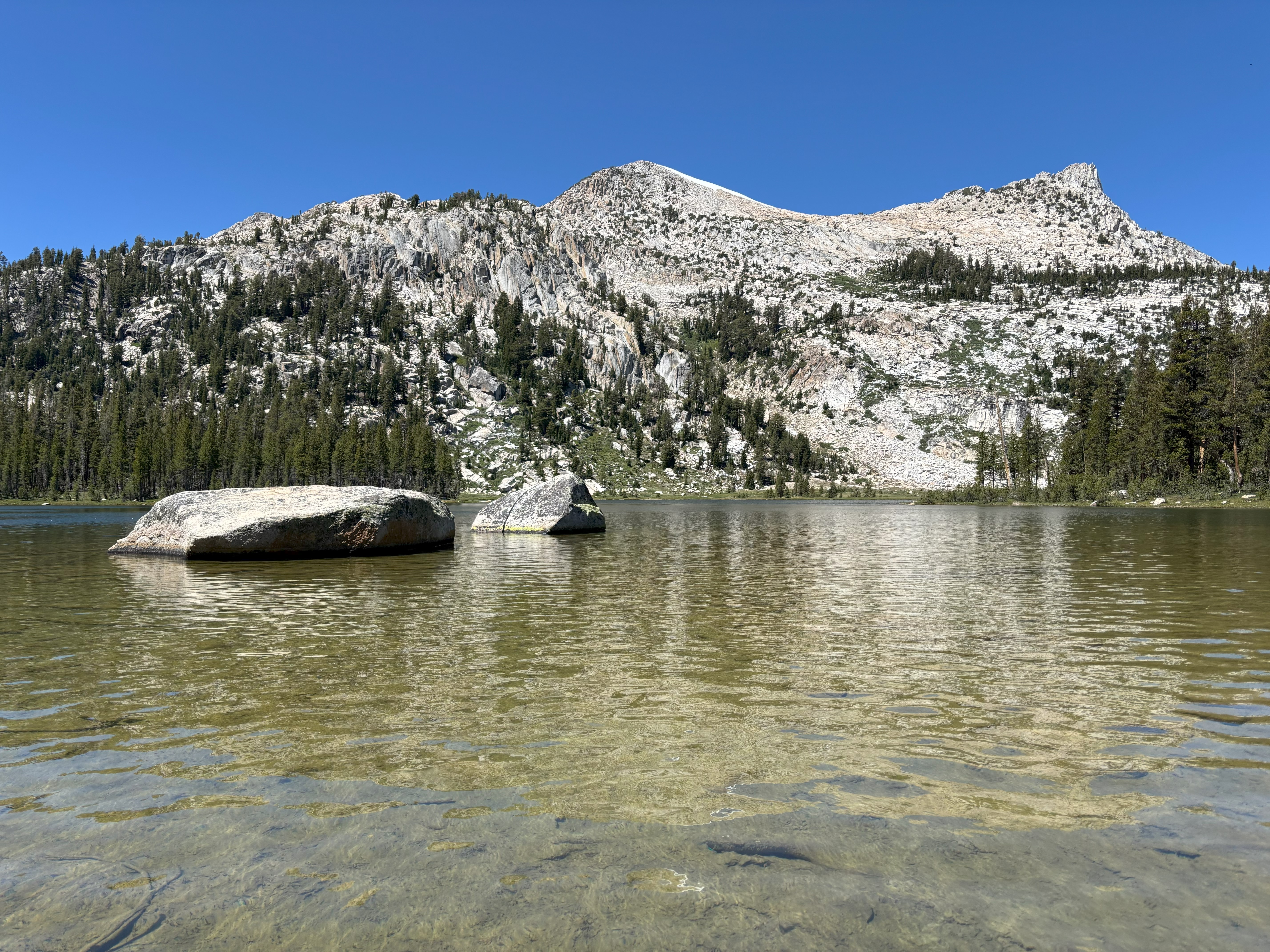
<p>The trail climbs steadily to a glacier-carved lake at the base of Unicorn Peak in the heart of the Cathedral Range. A one-mile trail circles the lake. The trail begins at the back of the B loop in the Tuolumne Meadows Campground.<br /> <br /> <strong>Distance: </strong>4.8…
Shepherd Crest
~25 min drive
Easy alpine walk with scenic ridge views near Shepherd Crest.