Loading…

Free — you'll pick up right here.
Watch this trail
Sign up to watch it — saving subscribes you to gate, closure and report changes.
California
3.1 mi
Distance
398 ft
Gain
We won't guess. Here is exactly what we do and don't know.
What we do know
Inside San Bernardino National Forest
2 managing-area boundaries mapped — agency alerts for them feed this page automatically.
Boundary data
What's missing
No access route mapped
We don't yet know which road reaches this trailhead, so we can't tell you if it's gated.
Nobody's filed a report here yet — be the first.
Why you'll love it
Woodland
AI-suggested draft · review before you go
No permit or access details on file for this trail — check with the local land manager before you go.
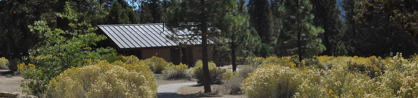
Woodland Trail offers a pleasant 3.14-mile loop through mixed oak and conifer forest in the Sacramento Valley foothills. With modest elevation gain of 398 feet, this accessible trail provides a gentle introduction to the region's woodland ecosystem, featuring shaded sections and seasonal wildflower displays. The well-maintained path is ideal for families and casual hikers seeking a quick outdoor escape.
Alpine Pedal Path
~0 min drive
Easy 5-mile Alpine cycling path with gentle 283 ft elevation gain.
Towne Trail
~4 min drive
Easy 2.2-mile trail with gentle elevation gain, perfect for beginners.
Skyline Trail
~5 min drive
Long-distance ridge trail with expansive views and moderate elevation gain.
Fall Line
~5 min drive
Easy 4.4-mile trail with minimal elevation gain through California landscape.
Bristlecone
~4 min drive
Easy 1.2-mile hike through bristlecone pine forest with minimal elevation gain.
Siberia Creek
~10 min drive
Expert alpine trek with 7,378 ft gain; remote, exposed, and weather-dependent.
Going Green
~5 min drive
Moderate 5.8-mile hike with 557 ft elevation gain near Going Green, CA.
Pine Knot Reroute
~5 min drive
Steep 2-mile alpine climb with 627 ft elevation gain in San Bernardino Mountains.
Santa Ana River Trail
~13 min drive
Moderate riverside hike along the Santa Ana River with scenic riparian views.
Seven Oaks
~7 min drive
Moderate 4.35-mile foothill hike through oak woodlands with 417 ft elevation gain.