Loading…

Free — you'll pick up right here.
Watch this trail
Sign up to watch it — saving subscribes you to gate, closure and report changes.
California
3.8 mi
Distance
531 ft
Gain
Agency alerts are in effect for this area; weather is good
2 factors · 2 sources
Newest 18 h ago · oldest 28 d
caution: Agency alerts
6 active alerts in Los Padres National Forest; most severe: Road Use Restriction - Sycamore Cyn Rd to Pfeiffer Beach
USFS28 d ago
clear: Weather
Clouds, high 72°F / low 55°F, 3% precip — 97/100 for hike
OpenWeather18 h ago
Been out here in the last few days? One report keeps this current for everyone.
Why you'll love it
West Fork Cold Spring
AI-suggested draft · review before you go
No permit or access details on file for this trail — check with the local land manager before you go.
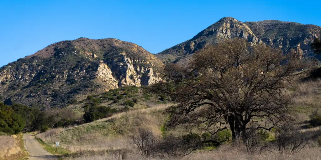
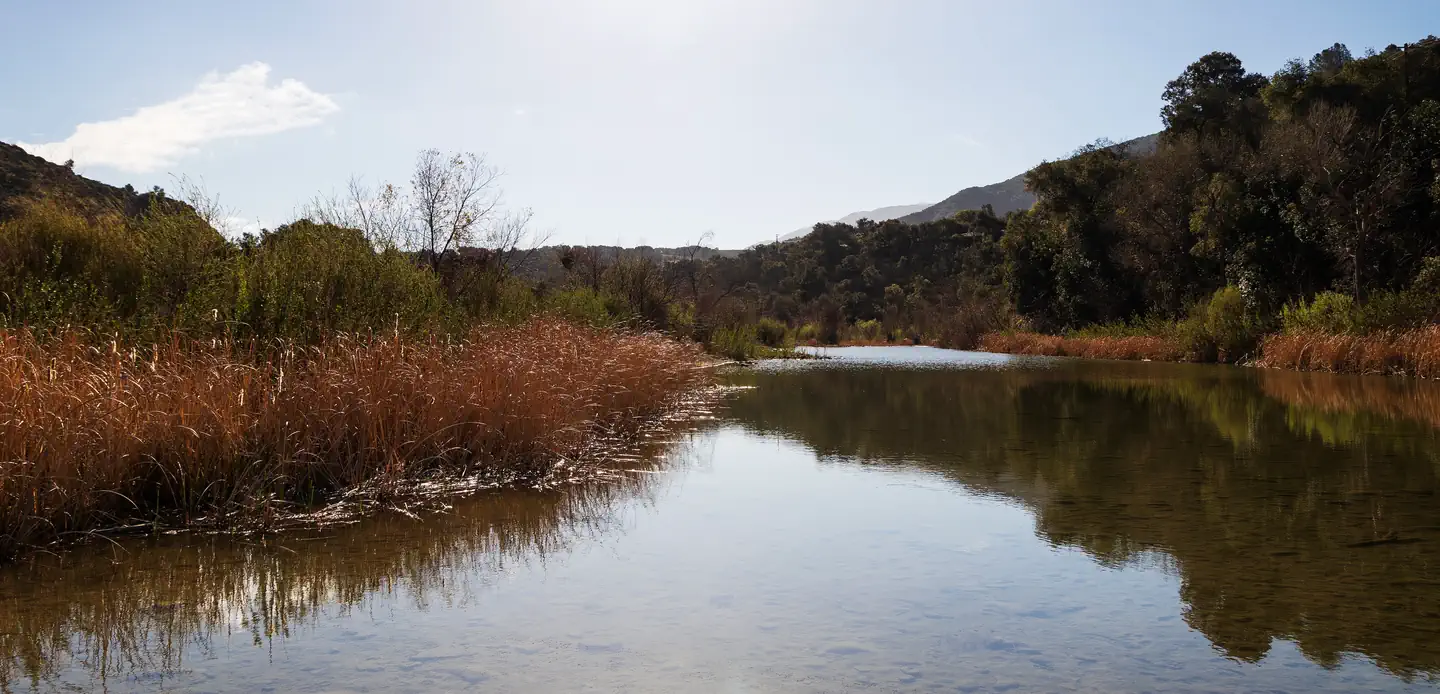
West Fork Cold Spring is a scenic 3.79-mile trail featuring a moderate elevation gain of 531 feet, making it an accessible option for hikers seeking a refreshing outing. The trail likely follows a canyon or creek drainage typical of California's foothill regions, with the possibility of water features and riparian vegetation. This route offers a pleasant balance of exercise and natural beauty, ideal for those looking to escape into a cooler microclimate.
Cold Spring
~2 min drive
Challenging 18.85-mile backcountry trek with 3,471 ft elevation gain.
Rattlesnake
~3 min drive
Steep 4.8-mile climb with 2,000 ft gain in Rattlesnake area.
Caliente
~14 min drive
Short, easy hike near Caliente with minimal elevation gain.
San Ysidro
~5 min drive
Strenuous 8.94-mile climb with 3,772 ft elevation gain near San Ysidro.
Indian Canyon
~14 min drive
Scenic 4.5-mile canyon hike with 575 ft elevation gain near Indian Canyon.
Murietta
~26 min drive
Easy 1.86-mile trail with minimal elevation gain near Murrieta.
Jesusita
~6 min drive
Moderate 8.6-mile Santa Barbara foothills hike with 1,894 ft elevation gain.
Franklin
~16 min drive
Moderately steep 5.47-mile hike with 2,571 ft elevation gain near Franklin.
Tequepis
~30 min drive
Easy 1.1-mile hike with 326 ft elevation gain near Tequepis.
Romero
~8 min drive
Moderate 8.65-mile climb through Santa Ynez foothills with 2,631 ft gain.