Parker Creek
Campground
Campground · 2.0 mi from the trail
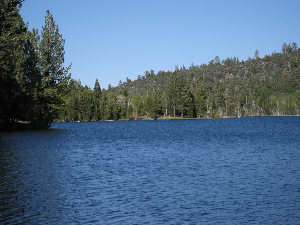 Photo: GSEC, CC BY 2.0 (via Flickr)
Alert in the area
The Forest Service lists 3 alerts for Inyo National Forest.
Help Halt Golden Mussel Invasion
Agency alert covering Inyo National Forest · USFS · Inyo National Forest
Ansel Adams and John Muir Wilderness Campfire Restrictions
Agency alert covering Inyo National Forest · Order 05-04-50-25-04 · USFS · Inyo National Forest
Golden Trout and Hoover Wilderness Campfire Restrictions
Agency alert covering Inyo National Forest · Order 05-04-50-25-05 · USFS · Inyo National Forest
As of · Source: USFS · Inyo National Forest. Agencies don't list every closure — check before you go.
Walker Lake North is an easy 1.8-mile out-and-back hike in the Mono Lake Ranger District of Inyo National Forest in California, managed by the Forest Service. The trail starts and ends at roughly 7,840 feet and climbs to about 7,974 feet, so the one-way gain is 131 feet. Bikes are allowed on the natural-surface trail. It is not an accessible route. For comfortable weather, aim for late spring or early fall. Typical averages from a nearby weather station at Lee Vining show May highs around 66°F and September highs around 76°F, with July the warmest month at about 84°F. That station sits well below the trail, so temperatures on the hike run cooler. Bloody Canyon Trail and Bloody Canyon lie within about a mile and a half. Gibbs Lake is about 2 miles away. Lower Lee Vining Campground is about 3 miles off.
Parker Creek
Campground
 If it rainsEeekster, CC BY 3.0 · Wikimedia Commons
Sierra Point
Viewpoint
Point in Yosemite National Park at the eastern end of the valley
Places © OpenStreetMap contributors · Photos: Eeekster, CC BY 3.0 (commons)
More in Mammoth LakesNot on Roamze yet. Their page has how to reach them.
 Bloody Canyon TrailHikingPhoto: GSEC, CC BY 2.0 (via Flickr)1.2 mi
 Bloody CanyonHikingPhoto: GSEC, CC BY 2.0 (via Flickr)1.4 mi
 Gibbs LakeHikingPhoto: DeeAshley, CC BY 2.0 (via Flickr)2.2 mi
 Rush CreekCanoeingPhoto: Greg Reis, CC BY-SA 3.0 (via Wikimedia Commons)3.3 mi
 Campground BoulderRock climbingPhoto: jimmyharris, CC BY 2.0 (via Flickr)3.4 miRoadside BoulderRock climbingPhoto: jimmyharris, CC BY 2.0 (via Flickr)3.4 mi
Source: Roamze catalog (indexable pages within 10 miles, PostGIS distance)
Bloody Canyon TrailHiking · ~2 min drivePhoto: GSEC, CC BY 2.0 (via Flickr)Bloody CanyonHiking · ~2 min drivePhoto: GSEC, CC BY 2.0 (via Flickr) Parker Bench TrailHiking · ~5 min drivePhoto: Perfect Zero, CC BY 2.0 (via Flickr)
 Alger Lakes TrailHiking · ~9 min drivePhoto: Jesse Wagstaff, CC BY 2.0 (via Flickr)Gibbs LakeHiking · ~4 min drivePhoto: DeeAshley, CC BY 2.0 (via Flickr)Gibbs LakeHiking · ~4 min drivePhoto: DeeAshley, CC BY 2.0 (via Flickr)
 I-JUNE LAKE TO BALD MTN SMHiking · ~13 min drivePhoto: mjhbower, CC BY-SA 2.0 (via Flickr)
 Parker Lake TrailHiking · ~4 min drivePhoto: jfdervin, CC BY-SA 2.0 (via Flickr)
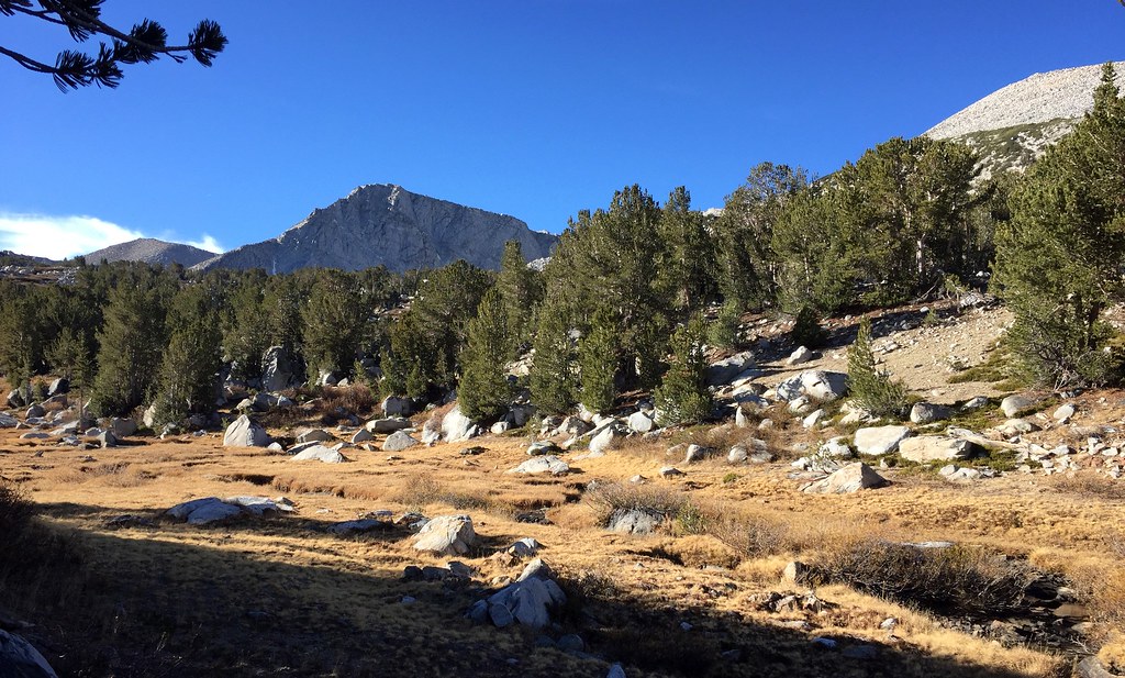 Mono Pass TrailHiking · ~8 min drivePhoto: scorpio-tiger, CC BY-SA 2.0 (via Flickr)
Also worth it near here
 Mount GibbsSummit · ~5 min drivePhoto: Daniel Mayer (talk · contribs), cropped by Hike395 (talk · contribs), CC BY-SA 3.0 (via Wikimedia Commons)Rush CreekCanoeing · ~6 min drivePhoto: Greg Reis, CC BY-SA 3.0 (via Wikimedia Commons)Campground BoulderRock climbing · ~6 min drivePhoto: jimmyharris, CC BY 2.0 (via Flickr)
Best months: April–October. Best months have typical highs of 55–85 °F, lows of 30 °F or warmer (32 °F where the station doesn't record snow), at most one snowy day and no more than 12 wet days.
Jan
41° / 21°
6 wet
Feb
44° / 23°
7 wet
Mar
51° / 28°
6 wet
Apr
58° / 32°
4 wet
May
66° / 40°
4 wet
Jun
77° / 47°
3 wet
Jul
84° / 54°
3 wet
Aug
83° / 52°
3 wet
Sep
76° / 45°
2 wet
Oct
65° / 36°
3 wet
Nov
53° / 28°
4 wet
Dec
42° / 22°
6 wet
Typical high / low (°F) and days with rain or snow, 1991–2020. Measured at Lee Vining, CA, 5.5 mi away at 6,797 ft. The station sits about 1,200 ft lower than this place, so expect it a little cooler here. This station doesn't record snowfall. Source: NOAA NCEI U.S. Climate Normals 1991–2020.
