Volvon Trail
- 0.3 mi
- round trip
- 161 ft
- climb
- 1,834 ft
- high point
- Out and back
- route
- Feb–Nov
- best months
Volvon Trail is a short, easy hike in Morgan Territory Regional Preserve in California, on land managed by a regional agency. The trail is about 0.34 miles long, and the round trip adds up to roughly 0.68 miles with a total elevation gain of about 161 feet. The climb is back-loaded, with the steepest stretch at about 0.13 miles in, and the route starts near 1,828 feet, reaching a high point of about 1,834 feet. Late spring and early fall are the most comfortable times to go. Typical averages from a nearby weather station at Mt Diablo Junction show May highs around 68°F and October highs around 72°F, with only a few wet days in each month. That station sits about 336 feet higher than the trail, so temperatures on the trail run a little warmer. The Volvon Loop Trail lies just 0.1 mile away, and Valley View Trail and Blue Oak Trail are each about 0.3 miles off. Climbers can find North Lump about 5.4 miles away.
- Volvon Loop TrailHiking0.1 mi
- Valley View TrailHiking0.2 mi
- Blue Oak TrailHiking0.3 mi
- Manzanita TrailHiking0.3 mi
- North LumpRock climbing5.4 mi
- Wanna Get Away CragRock climbing5.4 mi
 Lower TierRock climbingPhoto: Dan Harrelson, CC BY 2.0 (via Flickr)6.9 mi
- Middle TierRock climbingPhoto: Dan Harrelson, CC BY 2.0 (via Flickr)7 mi
Source: Roamze catalog (indexable pages within 10 miles, PostGIS distance)
 Louise's Shelf Foot PathHiking · ~2 min drivePhoto: daveparker, CC BY 2.0 (via Flickr)
 Mollok TrailHiking · ~2 min drivePhoto: daveparker, CC BY 2.0 (via Flickr)
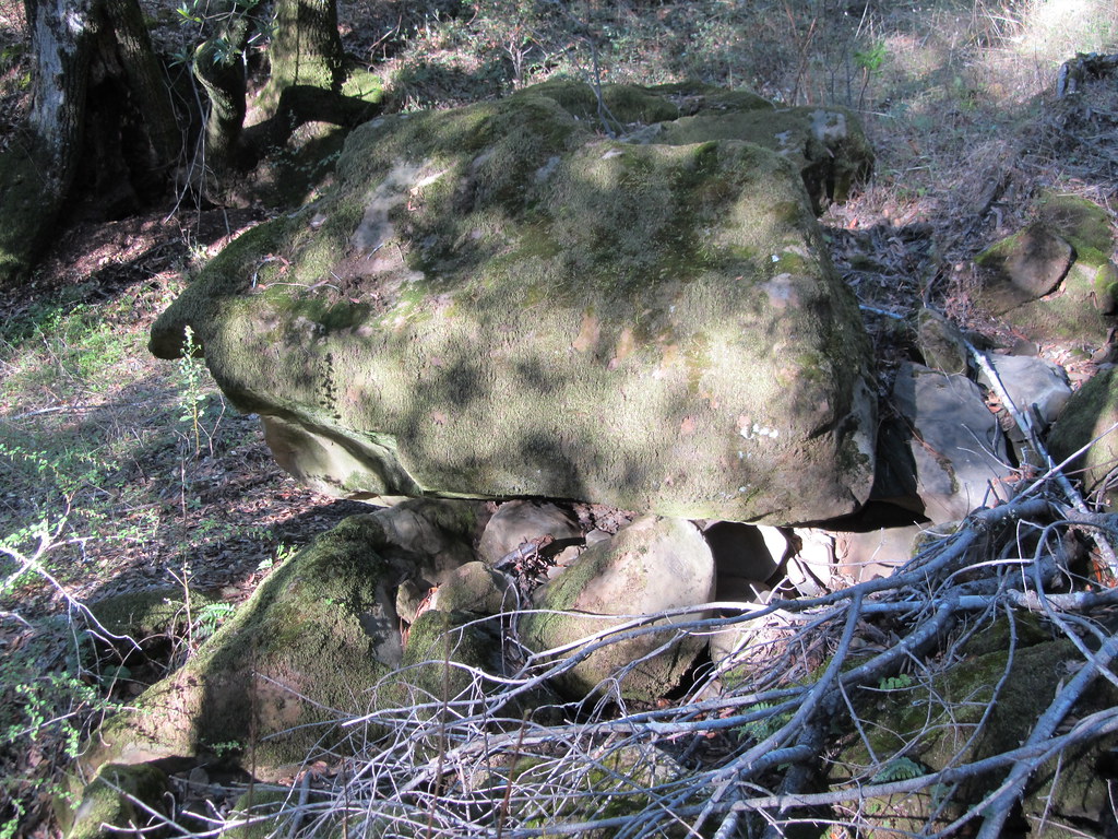 Black Hills TrailHiking · ~3 min drivePhoto: sfbaywalk, CC BY 2.0 (via Flickr)
- Blue Oak TrailHiking · ~2 min drivePhoto: daveparker, CC BY 2.0 (via Flickr)
 Clyma TrailHiking · ~3 min drivePhoto: reverendlukewarm, CC BY-SA 2.0 (via Flickr)
- Highland Ridge TrailHiking · ~4 min drive
- Prairie Falcon TrailHiking · ~2 min drivePhoto: daveparker, CC BY 2.0 (via Flickr)
- Raven TrailHiking · ~2 min drive
- Miwok TrailHiking · ~5 min drive
- Volvon TrailHiking · ~2 min drivePhoto: daveparker, CC BY 2.0 (via Flickr)
Best time to visit Volvon Trail
Best months: February–November. Best months have typical highs of 55–85 °F, lows of 30 °F or warmer (32 °F where the station doesn't record snow), at most one snowy day and no more than 12 wet days.
Jan
54° / 42°
11 wet
Feb
55° / 42°
11 wet
Mar
58° / 43°
10 wet
Apr
62° / 44°
7 wet
May
68° / 49°
4 wet
Jun
76° / 55°
1 wet
Jul
82° / 62°
1 wet
Aug
83° / 61°
0 wet
Sep
80° / 60°
1 wet
Oct
72° / 54°
4 wet
Nov
60° / 46°
7 wet
Dec
53° / 41°
11 wet
Typical high / low (°F) and days with rain or snow, 1991–2020. Measured at Mt Diablo Junction, CA, 7.6 mi away at 2,170 ft. Source: NOAA NCEI U.S. Climate Normals 1991–2020.

Map and trail data © OpenStreetMap contributors
