Wanna Get Away Crag
Wanna Get Away Crag in California has 4 sport climbing routes with 4 distinct difficulty grades.
- 4 routes
- 5.8 – 5.11a
- Sport
Best time to visit Wanna Get Away Crag
Best months: February–November. Best months have typical highs of 55–85 °F, lows of 30 °F or warmer (32 °F where the station doesn't record snow), at most one snowy day and no more than 12 wet days.
Jan
54° / 42°
11 wet
Feb
55° / 42°
11 wet
Mar
58° / 43°
10 wet
Apr
62° / 44°
7 wet
May
68° / 49°
4 wet
Jun
76° / 55°
1 wet
Jul
82° / 62°
1 wet
Aug
83° / 61°
0 wet
Sep
80° / 60°
1 wet
Oct
72° / 54°
4 wet
Nov
60° / 46°
7 wet
Dec
53° / 41°
11 wet
Typical high / low (°F) and days with rain or snow, 1991–2020. Measured at Mt Diablo Junction, CA, 3.1 mi away at 2,170 ft. Source: NOAA NCEI U.S. Climate Normals 1991–2020.
Wanna Get Away Crag is a climbing area in Mount Diablo State Park in California, on land managed by the state's park and recreation agency. It sits within a cluster of crags and trails, so it pairs easily with other climbing or a short hike in the same visit. Spring and fall bring the most comfortable climbing weather. Typical averages from a nearby weather station at Mt Diablo Junction show May highs around 68°F with lows near 49°F, and October highs around 72°F with only about four wet days. Summer runs warmer, with typical highs in the low 80s from July through September, while winter brings highs in the mid-50s and about 11 wet days a month. North Lump is the closest neighbor at just 0.1 mile away, and Oyster Point Trail starts about 0.2 mile off. Knobcone Point Trail lies roughly 0.9 mile away, and Middle Tier, another climbing area, is about 1.6 miles from the crag.
Routes (4)
South Lump(1)
Keep exploring — more climbs worth the drive
 Photo: Dan Harrelson, CC BY 2.0 (via Flickr)
Lower Tier
~3 min drive
Lower Tier in California has 14 climbing routes across 7 grades, offering mixed, sport, and trad styles.
Photo: Dan Harrelson, CC BY 2.0 (via Flickr)Middle Tier
~3 min drive
Middle Tier in California has 9 climbing routes across 7 grades, offering mixed and sport climbing.
Photo: Dan Harrelson, CC BY 2.0 (via Flickr)Butt Rock
~3 min drive
Butt Rock in California has 5 sport climbing routes across 4 difficulty grades.
 Photo: @bastique, CC BY-SA 2.0 (via Flickr)
The Rock of Ages
~9 min drive
Rock of Ages, The is a sport climbing crag in California with 5 routes.
Photo: @bastique, CC BY-SA 2.0 (via Flickr)Flintstone Rock
~10 min drive
Flintstone Rock in California has 5 sport climbing routes across 4 difficulty grades.
Photo: @bastique, CC BY-SA 2.0 (via Flickr)Mammoth Rock
~10 min drive
Mammoth Rock in California offers 5 climbing routes across 3 difficulty grades, with sport and trad options.
 Photo: MARELBU, CC BY 3.0 (via Wikimedia Commons)
Pine Canyon
~10 min drive
Pine Canyon in California has 16 climbing routes across 11 grades, offering mixed, sport, and trad styles.
 Photo: albategnius, CC BY-SA 2.0 (via Flickr)
Deliverance Rock
~10 min drive
Deliverance Rock in California has 6 sport climbing routes across 6 difficulty grades.
 Photo: Tbo47, CC0 (via Wikimedia Commons)
Pinnacle Rock
~35 min drive
Pinnacle Rock in California has 10 routes across 9 grades, offering bouldering and sport climbing.
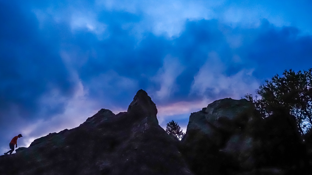 Photo: albategnius, CC BY-SA 2.0 (via Flickr)
Cragmont Park
~35 min drive
Cragmont Park in California has 3 bouldering routes.


