Prairie Falcon Trail
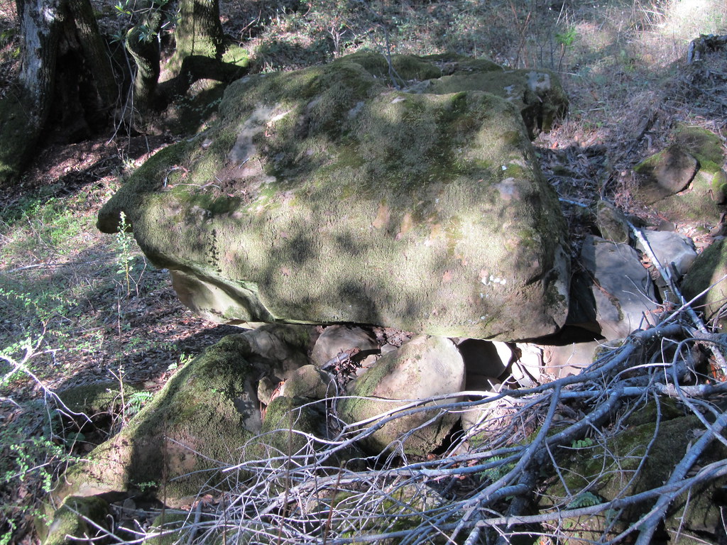
 Photo: daveparker, CC BY 2.0 (via Flickr)
- 0.5 mi
- round trip
- 346 ft
- climb
- 1,985 ft
- high point
- Out and back
- route
- Feb–Nov
- best months
Prairie Falcon Trail is a short, easy out-and-back hike in Morgan Territory Regional Preserve in California, on land managed by a regional agency. The route is about a mile long and climbs roughly 350 feet from a start near 1,970 feet to a high point of 1,985 feet. The climb is steady, and the steepest stretch comes early on, about 0.2 miles from the trailhead. The trail makes a good pairing with the other short routes in the preserve. Louise's Shelf Foot Path lies just 0.1 mile away, and Blue Oak Trail and Volvon Trail are both within half a mile. For something different, North Lump offers rock climbing about 6 miles off.
- Louise's Shelf Foot PathHikingPhoto: daveparker, CC BY 2.0 (via Flickr)0.1 mi
- Blue Oak TrailHikingPhoto: daveparker, CC BY 2.0 (via Flickr)0.3 mi
- Volvon TrailHikingPhoto: daveparker, CC BY 2.0 (via Flickr)0.4 mi
 Coyote TrailHikingPhoto: daveparker, CC BY 2.0 (via Flickr)0.5 mi
- North LumpRock climbing5.9 mi
- Wanna Get Away CragRock climbing5.9 mi
 Lower TierRock climbingPhoto: Dan Harrelson, CC BY 2.0 (via Flickr)7.4 mi
- Upper TierRock climbing7.5 mi
Source: Roamze catalog (indexable pages within 10 miles, PostGIS distance)
- Louise's Shelf Foot PathHiking · Next doorPhoto: daveparker, CC BY 2.0 (via Flickr)
 Clyma TrailHiking · ~1 min drivePhoto: reverendlukewarm, CC BY-SA 2.0 (via Flickr)
 Black Hills TrailHiking · ~2 min drivePhoto: sfbaywalk, CC BY 2.0 (via Flickr)
- Blue Oak TrailHiking · Next doorPhoto: daveparker, CC BY 2.0 (via Flickr)
 Mollok TrailHiking · ~1 min drivePhoto: daveparker, CC BY 2.0 (via Flickr)
- Los Vaqueros TrailHiking · ~5 min drive
- Volvon TrailHiking · Next doorPhoto: daveparker, CC BY 2.0 (via Flickr)
- Raven TrailHiking · ~2 min drive
- Highland Ridge TrailHiking · ~5 min drive
- Coyote TrailHiking · Next doorPhoto: daveparker, CC BY 2.0 (via Flickr)
Also worth it near here
Best time to visit Prairie Falcon Trail
Best months: February–November. Best months have typical highs of 55–85 °F, lows of 30 °F or warmer (32 °F where the station doesn't record snow), at most one snowy day and no more than 12 wet days.
Jan
54° / 42°
11 wet
Feb
55° / 42°
11 wet
Mar
58° / 43°
10 wet
Apr
62° / 44°
7 wet
May
68° / 49°
4 wet
Jun
76° / 55°
1 wet
Jul
82° / 62°
1 wet
Aug
83° / 61°
0 wet
Sep
80° / 60°
1 wet
Oct
72° / 54°
4 wet
Nov
60° / 46°
7 wet
Dec
53° / 41°
11 wet
Typical high / low (°F) and days with rain or snow, 1991–2020. Measured at Mt Diablo Junction, CA, 8.4 mi away at 2,170 ft. Source: NOAA NCEI U.S. Climate Normals 1991–2020.

Map and trail data © OpenStreetMap contributors
