Gould Mesa
Campground
Campground · 4.6 mi from the trail
 Photo: mjhbower, CC BY-SA 2.0 (via Flickr)
Vital Link Trail is a 1.88-mile moderate hike on city land within DeBell Golf Course in California. The trail is an out-and-back route that starts at about 1,285 feet and climbs to a high point of 2,948 feet, with a total elevation gain of 2,261 feet over the round trip. The climb is front-loaded, and the steepest stretch comes at about 0.96 miles in, where the grade reaches 37%. The trail is short but steep, so plan for a climb that gets serious early on. The route is about 3.8 miles long when you include the return, and the most challenging part is near the start. Several other trails sit close by. Key Club Path to the "B" is about 0.2 miles away, and Wildwood Canyon Trailhead #4 is about 0.6 miles away. Scout Camp Trail is about a mile off, and Gould Mesa campground is about 4.6 miles away.
Gould Mesa
Campground
 If it rainsDoncram, CC BY-SA 3.0 · Wikimedia Commons
Historic American Craftsman era stone building in Tujunga, Los Angeles County, California
Places © OpenStreetMap contributors · Photos: Doncram, CC BY-SA 3.0 (commons)
More in Acton Wildwood Canyon Trailhead #4HikingPhoto: mjhbower, CC BY-SA 2.0 (via Flickr)0.6 mi
 Bee Rock (Griffith Park)Rock climbingPhoto: Thad Zajdowicz, CC BY-SA 2.0 (via Flickr)4.7 mi
 Big Tujunga CreekCanoeingPhoto: MajaTrochimczyk, CC BY 3.0 us (via Wikimedia Commons)7.8 mi
Source: Roamze catalog (indexable pages within 10 miles, PostGIS distance)
Wildwood Canyon Trailhead #4Hiking · ~1 min drivePhoto: mjhbower, CC BY-SA 2.0 (via Flickr) La Tuna Canyon TrailHiking · ~3 min drivePhoto: mjhbower, CC BY-SA 2.0 (via Flickr)Verdugo Crest TrailHiking · ~2 min drivePhoto: mjhbower, CC BY-SA 2.0 (via Flickr)La Tuna Cyn Foot TrailHiking · ~3 min drivePhoto: mjhbower, CC BY-SA 2.0 (via Flickr)
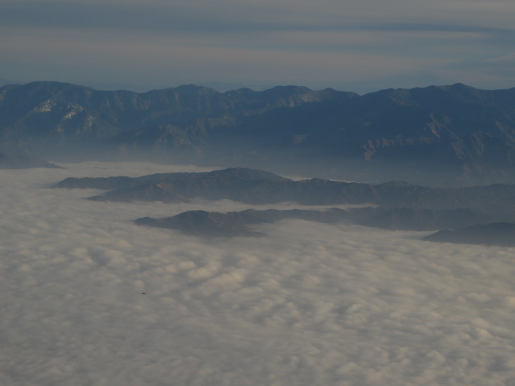 Verdugo Crest TrailHiking · ~3 min drivePhoto: Ken Lund, CC BY-SA 2.0 (via Flickr)
 Bamboo Ruins TrailHiking · ~3 min drivePhoto: electricStardust, CC BY 3.0 (via Wikimedia Commons)Verdugo Crest TrailHiking · ~3 min drivePhoto: Ken Lund, CC BY-SA 2.0 (via Flickr)
 Scott's TrailHiking · ~4 min drivePhoto: mjhbower, CC BY-SA 2.0 (via Flickr)
 Verdugo Crest TrailHiking · ~4 min drivePhoto: mjhbower, CC BY-SA 2.0 (via Flickr)
 Rim of the Valley TrailHiking · ~7 min drivePhoto: mjhbower, CC BY-SA 2.0 (via Flickr)
Map and trail data © OpenStreetMap contributors

