Gould Mesa
Campground
Campground · 4.2 mi from the trail
 Photo: mjhbower, CC BY-SA 2.0 (via Flickr)
Clear today
Weather is good · OpenWeather · checked just now
La Tuna Cyn Foot Trail is a moderate out-and-back hike in La Tuna Canyon Park in California, on regional agency land. The route is about 4 miles long and reaches a high point of 2,857 feet, with the trail starting at that elevation and descending back to the same point. The total climb is about 2,261 feet, and the steepest stretch comes at roughly 1.2 miles in, where the grade reaches about 29 percent. The hike works well as a day trip with time to explore other trails nearby. The Verdugo Crest Trail and the La Tuna Canyon Trail are both about 0.6 miles away, and the Wildwood Canyon Trailhead #4 is about 1.2 miles off. For an overnight stay, Gould Mesa campground lies about 4.2 miles away.
Gould Mesa
Campground
 If it rainsDoncram, CC BY-SA 3.0 · Wikimedia Commons
Historic American Craftsman era stone building in Tujunga, Los Angeles County, California
Places © OpenStreetMap contributors · Photos: Doncram, CC BY-SA 3.0 (commons)
More in ActonVerdugo Crest TrailHikingPhoto: mjhbower, CC BY-SA 2.0 (via Flickr)0.6 miLa Tuna Canyon TrailHikingPhoto: mjhbower, CC BY-SA 2.0 (via Flickr)0.6 mi Wildwood Canyon Trailhead #4HikingPhoto: mjhbower, CC BY-SA 2.0 (via Flickr)1.2 mi
 Bee Rock (Griffith Park)Rock climbingPhoto: Thad Zajdowicz, CC BY-SA 2.0 (via Flickr)6.4 mi
 Big Tujunga CreekCanoeingPhoto: MajaTrochimczyk, CC BY 3.0 us (via Wikimedia Commons)6.4 mi
Source: Roamze catalog (indexable pages within 10 miles, PostGIS distance)
Verdugo Crest TrailHiking · Next doorPhoto: mjhbower, CC BY-SA 2.0 (via Flickr)La Tuna Canyon TrailHiking · ~1 min drivePhoto: mjhbower, CC BY-SA 2.0 (via Flickr) Pickens TrailHiking · ~8 min drivePhoto: mjhbower, CC BY-SA 2.0 (via Flickr)Wildwood Canyon Trailhead #4Hiking · ~2 min drivePhoto: mjhbower, CC BY-SA 2.0 (via Flickr)
 Vital Link TrailHiking · ~3 min drivePhoto: mjhbower, CC BY-SA 2.0 (via Flickr)
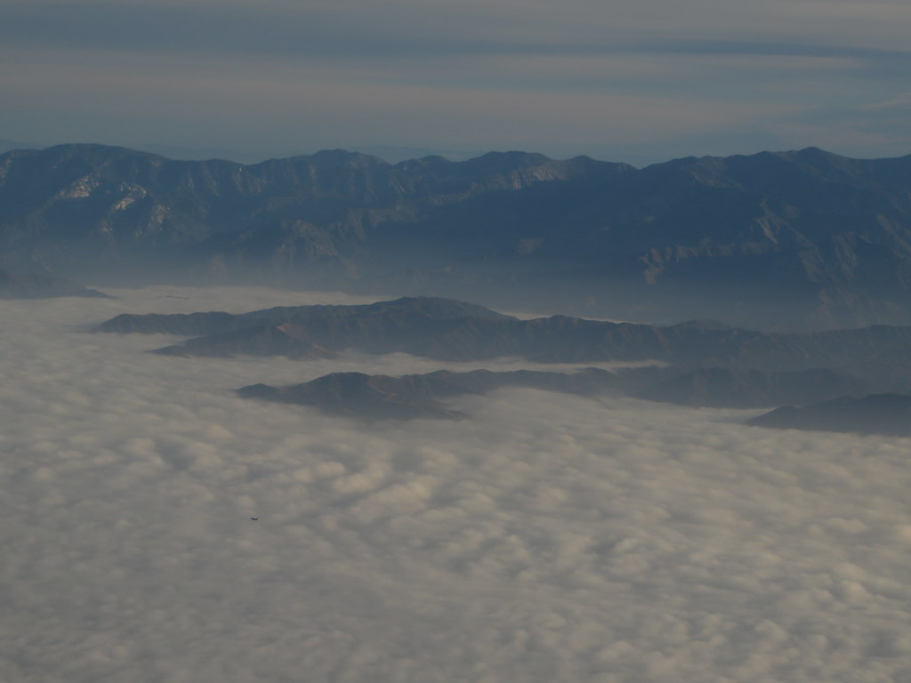 Verdugo Crest TrailHiking · ~3 min drivePhoto: Ken Lund, CC BY-SA 2.0 (via Flickr)
 Bamboo Ruins TrailHiking · ~5 min drivePhoto: electricStardust, CC BY 3.0 (via Wikimedia Commons)Verdugo Crest TrailHiking · ~4 min drivePhoto: Ken Lund, CC BY-SA 2.0 (via Flickr)
 Rim of the Valley TrailHiking · ~5 min drivePhoto: mjhbower, CC BY-SA 2.0 (via Flickr)
Also worth it near here
 Rattlesnake TrailMountain biking · ~7 min drivePhoto: MajaTrochimczyk, CC BY 3.0 us (via Wikimedia Commons)
 Mount LukensSummit · ~7 min drivePhoto: Doc Searls from Santa Barbara, USA, CC BY 2.0 (via Wikimedia Commons)
Map and trail data © OpenStreetMap contributors
