Backpackers Campground
Campground
Campground · 3.0 mi from the trail
Closure in the area
There's a closure order in Stanislaus National Forest. It doesn't name Jackson Canyon, so check the source for the area it covers (2 listed).
Stanislaus National Forest extends seasonal MVUM closure for two high elevation roads
Agency closure covering Stanislaus National Forest · USFS · Stanislaus National Forest
Extension of Seasonal Road Closures
Agency closure covering Stanislaus National Forest · USFS · Stanislaus National Forest
As of · Source: USFS · Stanislaus National Forest. Agencies don't list every closure — check before you go.
Jackson Canyon is a hard hike of about 6.5 miles in the Mokelumne Wilderness, part of the Calaveras Ranger District of Stanislaus National Forest in California. The nearest town is Cape Horn, about 2.6 miles away. The trail is natural-surfaced and rated hard, with a one-way elevation gain of about 1,493 feet. Horses are allowed, but bikes are not. The route is an out-and-back that starts at roughly 6,300 feet and climbs to about 7,800 feet. Summer is the most comfortable time to go. Typical July averages from a nearby weather station at Dagget Pass run around 75°F for highs and 49°F for lows, with only a couple of wet days a month. Other spots within a short distance include the Underwood Valley mountain biking area and the North Fork Mokelumne River for canoeing. For an overnight base, Pine Marten and Silver Valley campgrounds are each about 3.1 miles away.
Backpackers Campground
Campground
Lake Alpine Resort
Restaurant
Alpine County Museum
Museum
Places © OpenStreetMap contributors
More in Bear ValleyNot on Roamze yet. Their page has how to reach them.
Best months: May–October. Best months have typical highs of 55–85 °F, lows of 30 °F or warmer (32 °F where the station doesn't record snow), at most one snowy day and no more than 12 wet days.
Jan
36° / 23°
9 wet
Feb
37° / 23°
8 wet
Mar
42° / 26°
7 wet
Apr
48° / 29°
5 wet
May
56° / 35°
4 wet
Jun
66° / 42°
2 wet
Jul
75° / 49°
2 wet
Aug
74° / 49°
1 wet
Sep
67° / 44°
2 wet
Oct
55° / 36°
3 wet
Nov
43° / 28°
5 wet
Dec
35° / 23°
7 wet
Typical high / low (°F) and days with rain or snow, 1991–2020. Measured at Dagget Pass, NV, 31.7 mi away at 7,334 ft. This station doesn't record snowfall. Source: NOAA NCEI U.S. Climate Normals 1991–2020.
 Photo: ilya_ktsn, CC BY 2.0 (via Flickr)
Pack Trail
~2 min drive
Pack Trail is a 1.82-mile out-and-back hike in California with 771 ft of elevation gain.
Photo: ilya_ktsn, CC BY 2.0 (via Flickr)Underwood Valley
~3 min drive
15.35-mile out-and-back trail in California with 2,156 ft elevation gain.
 Photo: lamblukas, CC BY 2.0 (via Flickr)
ALPINE HORSE TRAIL LOOP
~5 min drive
2.32-mile out-and-back trail in California with 671 ft gain/loss
 Photo: wiskinator, CC BY 2.0 (via Flickr)
Elephant Rock
~6 min drive
5.19-mile out-and-back trail to Elephant Rock in California with 344 ft gain.
Photo: ilya_ktsn, CC BY 2.0 (via Flickr)Lake Valley
~4 min drive
11.45-mile out-and-back trail in California with 378 ft elevation gain.
 Photo: lamblukas, CC BY 2.0 (via Flickr)
Three Creeks
~5 min drive
1.68-mile out-and-back trail in California with 407 ft elevation gain/loss.
 Photo: weldonwk, CC BY 2.0 (via Flickr)
North Lake Alpine
~6 min drive
5.48-mile out-and-back trail to North Lake Alpine in California.
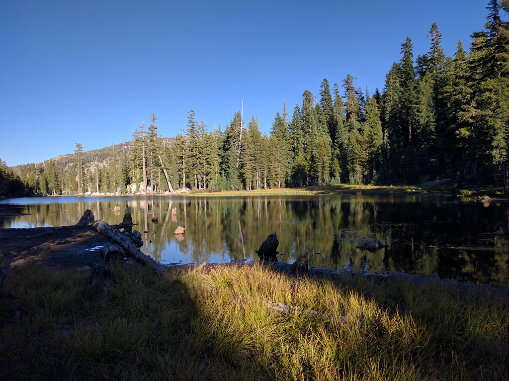 Photo: npdoty, CC BY 2.0 (via Flickr)
Sandy Mdw.
~5 min drive
7.19-mile out-and-back trail in California with 1,000 ft gain.
Photo: lamblukas, CC BY 2.0 (via Flickr)Lower Woodchuck Trail
~5 min drive
2.62-mile out-and-back hike in California with 673 ft gain/loss
Photo: npdoty, CC BY 2.0 (via Flickr)Heiser Lake
~7 min drive
4.58-mile out-and-back trail to Heiser Lake in California with 746 ft of elevation gain.
