Traverse Trail
- 0.8 mi
- round trip
- 767 ft
- climb
- 830 ft
- high point
- Out and back
- route
- Feb–May, Oct–Dec
- best months
Caution today
Weather is marginal · OpenWeather · checked 11 h ago
Traverse Trail is an easy hike in Clover Springs, California, on city-managed land. It is a short out-and-back route, about 1.5 miles long with a total elevation gain of 767 feet. The trail starts at 591 feet and reaches a high point of 830 feet, so the climb is a rolling one with a steep stretch near the beginning, where the grade peaks at 16%. Spring and fall are the most comfortable times to go. Typical averages from the nearby Cloverdale weather station show April highs around 74°F and October highs around 81°F. That station sits about 430 feet lower than the trail, so temperatures on the route run a little cooler. The trail is close to several other outings. Andiamo Trail is just 0.1 mile away, and Eggelleggen Trail is 0.3 mile away. Climbers can head to The Untamed Rocks, about 1.6 miles off, and Liberty Glen (lake Sonoma) campground is about 5.2 miles away.
- Andiamo TrailHiking0.1 mi
- Eggelleggen TrailHiking0.3 mi
- The Untamed RocksRock climbing1.6 mi
- Squaw Cliff AreaRock climbing4.8 mi
- Liberty Glen (lake Sonoma)Camping5.2 mi
- Warm Springs Rec AreaCamping5.2 mi
- Pieta CreekCanoeing8 mi
- Peña CreekCanoeing8.6 mi
Source: Roamze catalog (indexable pages within 10 miles, PostGIS distance)
 Crowley's Lake View TrailHiking · ~10 min drivePhoto: vonguard, CC BY-SA 2.0 (via Flickr)
 South Lake TrailHiking · ~10 min drivePhoto: sarahstierch, Public Domain Dedication (CC0) (via Flickr)
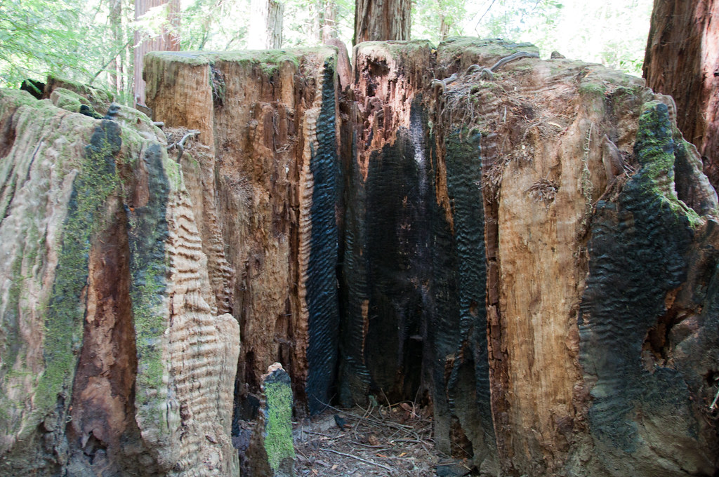 Gilliam Creek TrailHiking · ~28 min drivePhoto: Paul and Jill, CC BY 2.0 (via Flickr)
- Rancheria TrailHiking · ~11 min drive
- Overlook TrailHiking · ~10 min drivePhoto: sarahstierch, Public Domain Dedication (CC0) (via Flickr)
 Pool Ridge TrailHiking · ~29 min drivePhoto: mutovkin, CC BY 2.0 (via Flickr)
- Trail 23 - Benmore Loop (Blue/Blue/Black/NR)Hiking · ~29 min drive
 Pioneer Nature TrailHiking · ~30 min drivePhoto: sarahstierch, Public Domain Dedication (CC0) (via Flickr)
- Pool Ridge TrailHiking · ~29 min drivePhoto: mutovkin, CC BY 2.0 (via Flickr)
- Eggelleggen TrailHiking · Next door
Best time to visit Traverse Trail
Best months: February–May and October–December. Best months have typical highs of 55–85 °F, lows of 30 °F or warmer (32 °F where the station doesn't record snow), at most one snowy day and no more than 12 wet days.
Jan
60° / 38°
13 wet
Feb
63° / 40°
11 wet
Mar
68° / 42°
10 wet
Apr
74° / 45°
7 wet
May
82° / 50°
4 wet
Jun
89° / 54°
1 wet
Jul
94° / 55°
0 wet
Aug
93° / 55°
0 wet
Sep
90° / 54°
1 wet
Oct
81° / 49°
4 wet
Nov
67° / 42°
8 wet
Dec
59° / 38°
12 wet
Typical high / low (°F) and days with rain or snow, 1991–2020. Measured at Cloverdale, CA, 0.7 mi away at 400 ft. Source: NOAA NCEI U.S. Climate Normals 1991–2020.
Map and trail data © OpenStreetMap contributors
