Trail A
- 0.3 mi
- round trip
- 129 ft
- climb
- 65 ft
- high point
- Out and back
- route
- Jan–Dec
- best months
Trail A is a short, easy out-and-back hike in Talbert Nature Preserve, a county-managed preserve in California. The route is about 0.6 miles long, with a total elevation gain of about 130 feet, and it starts and ends at roughly 15 feet. The climb is flat, so the walk is gentle from start to finish. The most comfortable months for a visit are typically late spring and early fall. Typical averages from a nearby weather station show May highs around 71°F and October highs around 76°F, with only a couple of wet days in each month. Summer runs warmer, with August highs near 80°F and almost no rain. The trip takes about half an hour, so it works well as a quick stop. Trail C lies about half a mile away, and the MacArthur Sidepath and the Corona Del Mar climbing area are both about 5 miles off.
- Trail CHiking0.5 mi
- MacArthur SidepathHiking5.3 mi
- Corona Del MarRock climbing5.3 mi
- Pirate's Cove (aka The Beach or Corona Del Mar)Rock climbing5.3 mi
- Parking Lot BouldersRock climbing5.4 mi
- South Loop TrailHiking5.8 mi
- Buck Gully TrailHiking6.1 mi
- Treehil TrailHiking6.4 mi
Source: Roamze catalog (indexable pages within 10 miles, PostGIS distance)
 Inner Bay Loop TrailHiking · ~11 min drivePhoto: blachswan, CC BY 2.0 (via Flickr)
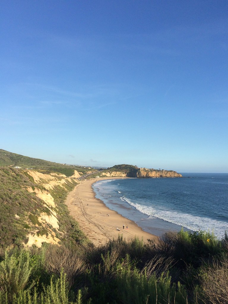 Brian's TrailHiking · ~15 min drivePhoto: sergei.gussev, CC BY 2.0 (via Flickr)
- Buck Gully TrailHiking · ~10 min drive
- Brightwater TrailHiking · ~12 min drivePhoto: blachswan, CC BY 2.0 (via Flickr)
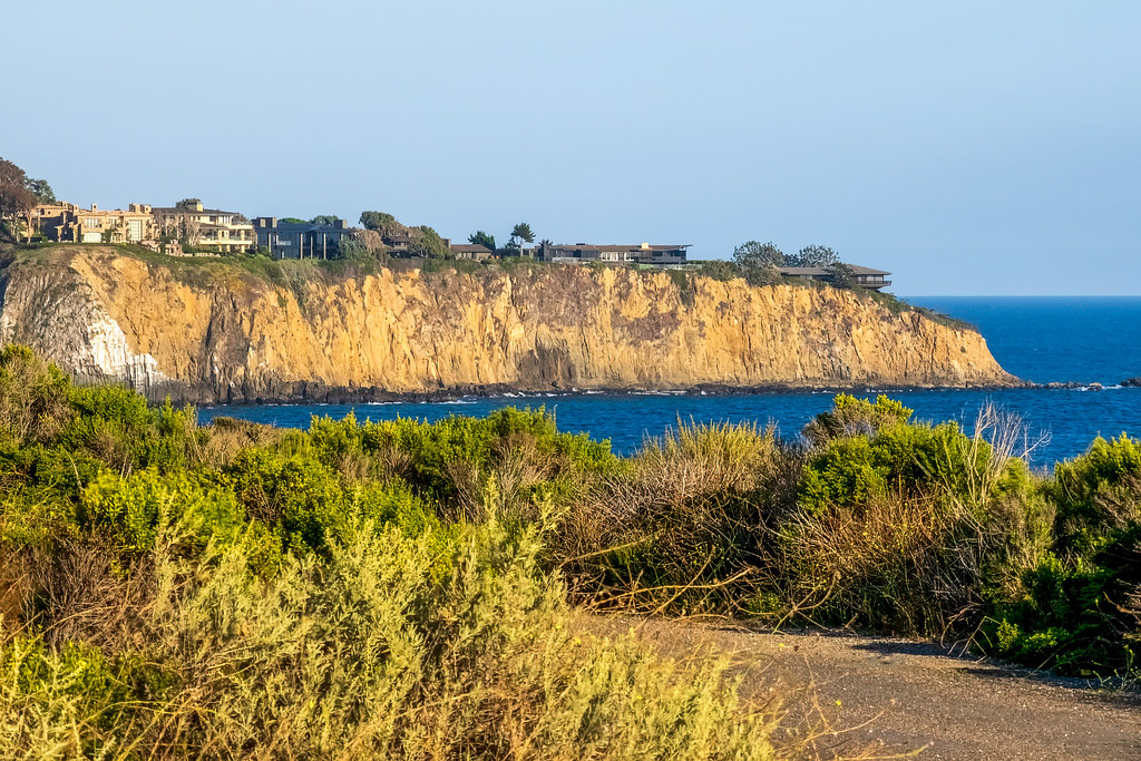 Moro Canyon TrailHiking · ~16 min drivePhoto: mutovkin, CC BY 2.0 (via Flickr)
 Pocket Loop TrailHiking · ~12 min drivePhoto: GSEC, CC BY 2.0 (via Flickr)
- Muddy Canyon TrailHiking · ~14 min drive
- Inner Bay Loop TrailHiking · ~12 min drivePhoto: GSEC, CC BY 2.0 (via Flickr)
- Quail TrailHiking · ~17 min drive
- Mesa TrailHiking · ~13 min drivePhoto: GSEC, CC BY 2.0 (via Flickr)
Best time to visit Trail A
Best months: Year-round. Best months have typical highs of 55–85 °F, lows of 30 °F or warmer (32 °F where the station doesn't record snow), at most one snowy day and no more than 12 wet days.
Jan
67° / 49°
6 wet
Feb
67° / 50°
7 wet
Mar
68° / 52°
6 wet
Apr
70° / 55°
3 wet
May
71° / 59°
2 wet
Jun
74° / 63°
1 wet
Jul
79° / 66°
1 wet
Aug
80° / 67°
0 wet
Sep
80° / 65°
1 wet
Oct
76° / 59°
3 wet
Nov
72° / 53°
5 wet
Dec
67° / 48°
7 wet
Typical high / low (°F) and days with rain or snow, 1991–2020. Measured at Santa Ana John Wayne Ap, CA, 5.1 mi away at 54 ft. This station doesn't record snowfall. Source: NOAA NCEI U.S. Climate Normals 1991–2020.
Map and trail data © OpenStreetMap contributors
