South Loop Trail
- 1.4 mi
- loop
- 65 ft
- climb
- 26 ft
- high point
- Loop
- route
- Jan–Dec
- best months
Clear at last check
Weather is good · OpenWeather · checked 12 h ago
South Loop Trail is a 1.4-mile loop on county land inside the San Joaquin Freshwater Marsh Reserve in California. The route is easy, with a flat profile that gains about 65 feet of elevation on the way around. The trail starts at about 13 feet and peaks at about 26 feet, so the climb is gentle and the whole loop works well as a short outing in a day spent exploring the reserve. The most comfortable stretch for a walk runs from late spring through early fall. Typical averages from a nearby weather station in Santa Ana show highs around 71°F in May and 74°F in June, with fewer wet days than winter months. Summer brings the warmest highs, around 80°F in August and September, while winter averages hover near 67°F with about seven wet days a month. Treehil Trail is about 0.6 miles away, and Sunset Point Trail is about 2.2 miles off. Climbers can head to Parking Lot Boulders and Pirate's Cove, both about 5 miles from the trail.
- Treehil TrailHiking0.6 mi
 Sunset Point TrailHikingPhoto: mutovkin, CC BY 2.0 (via Flickr)2.2 mi
- Community TrailHiking3.3 mi
- Shady Canyon TrailHiking3.3 mi
- Parking Lot BouldersRock climbing5 mi
- Pirate's Cove (aka The Beach or Corona Del Mar)Rock climbing5 mi
- Corona Del MarRock climbing5.1 mi
- Laguna BeachRock climbing9.8 mi
Source: Roamze catalog (indexable pages within 10 miles, PostGIS distance)
- Sunset Point TrailHiking · ~4 min drivePhoto: mutovkin, CC BY 2.0 (via Flickr)
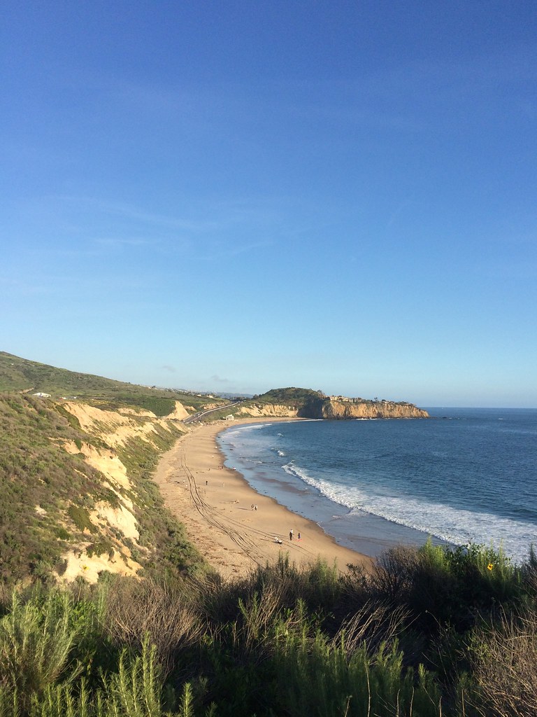 Brian's TrailHiking · ~10 min drivePhoto: sergei.gussev, CC BY 2.0 (via Flickr)
- Buck Gully TrailHiking · ~7 min drive
- Treehil TrailHiking · ~1 min drive
- Quail TrailHiking · ~7 min drive
- Community TrailHiking · ~6 min drive
- Muddy Canyon TrailHiking · ~9 min drive
- Shady Canyon TrailHiking · ~6 min drive
- West Canyon TrailHiking · ~10 min drive
- Shady Canyon TrailHiking · ~6 min drive
Best time to visit South Loop Trail
Best months: Year-round. Best months have typical highs of 55–85 °F, lows of 30 °F or warmer (32 °F where the station doesn't record snow), at most one snowy day and no more than 12 wet days.
Jan
67° / 49°
6 wet
Feb
67° / 50°
7 wet
Mar
68° / 52°
6 wet
Apr
70° / 55°
3 wet
May
71° / 59°
2 wet
Jun
74° / 63°
1 wet
Jul
79° / 66°
1 wet
Aug
80° / 67°
0 wet
Sep
80° / 65°
1 wet
Oct
76° / 59°
3 wet
Nov
72° / 53°
5 wet
Dec
67° / 48°
7 wet
Typical high / low (°F) and days with rain or snow, 1991–2020. Measured at Santa Ana John Wayne Ap, CA, 1.6 mi away at 54 ft. This station doesn't record snowfall. Source: NOAA NCEI U.S. Climate Normals 1991–2020.
Map and trail data © OpenStreetMap contributors
