Skillman G.Cg
Campground
Campground · 0.4 mi from the trail
Alert in the area
The Forest Service lists an alert for Tahoe National Forest.
Camping and Campfire Restrictions-Truckee and Sierraville Districts
Agency alert covering Tahoe National Forest · Order 17-25-05 · USFS · Tahoe National Forest
As of · Source: USFS · Tahoe National Forest. Agencies don't list every closure — check before you go.
Towle Mill Loop MC is a moderate loop hike of about 10 miles in the Yuba River Ranger District of Tahoe National Forest, managed by the Forest Service. The trail starts at roughly 4,740 feet and climbs to about 4,765 feet before descending back to the same level, with a total gain and loss of about 1,310 feet. The climb is steady, and the steepest stretch comes at about 2.1 miles in, where the grade reaches 18%. Summer is the most comfortable time to go. Typical averages from a nearby weather station at Blue Canyon show July highs around 78°F with lows near 63°F and only about one wet day in the month. Winter is much colder, with January highs around 47°F and lows near 34°F. The trail sits close to several other spots. The South Yuba River, Skillman G.Cg campground and the Omega Overlook MC Trail are all within about half a mile. White Cloud campground is about 3 miles away.
Skillman G.Cg
Campground
The Rustic Table
Restaurant
Firehouse Number 1 Museum
Museum
Places © OpenStreetMap contributors
More in Nevada CityNot on Roamze yet. Their page has how to reach them.
 South Yuba RiverCanoeingPhoto: J.smith, CC BY-SA 3.0 (via Wikimedia Commons)0.3 mi
 OMEGA OVERLOOK MC TRAILHikingPhoto: jdnx, CC BY 2.0 (via Flickr)0.4 mi
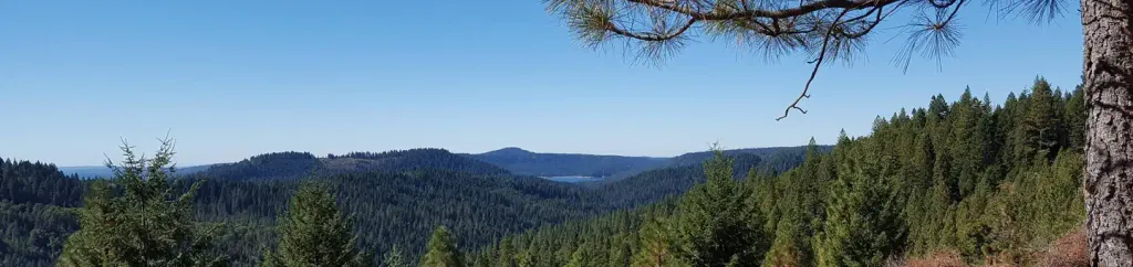 White CloudCampingPhoto: Recreation.gov (RIDB) / public domain3 mi
 Stress Management BouldersRock climbingPhoto: ericheath, CC BY 2.0 (via Flickr)7.2 mi
Source: Roamze catalog (indexable pages within 10 miles, PostGIS distance)
OMEGA OVERLOOK MC TRAILHiking · Next doorPhoto: jdnx, CC BY 2.0 (via Flickr)Rocky Pioneer TrailHiking · ~2 min drivePhoto: jdnx, CC BY 2.0 (via Flickr)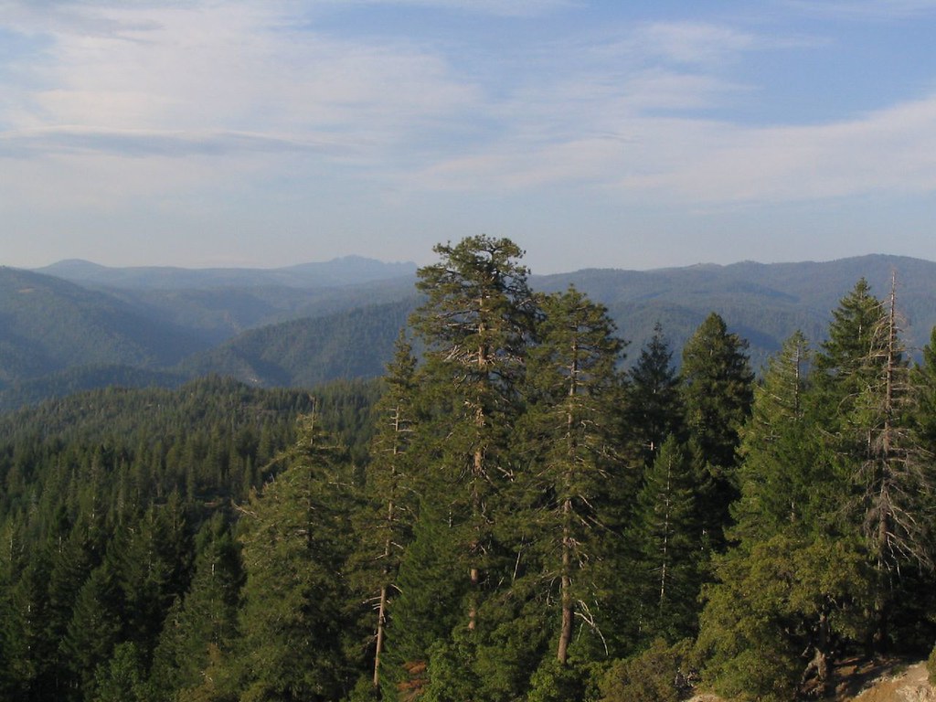 DEER CREEK MCHiking · ~2 min drivePhoto: Ken Lund, CC BY-SA 2.0 (via Flickr)OMEGA MC TRAILHiking · ~2 min drivePhoto: Ken Lund, CC BY-SA 2.0 (via Flickr)
 Green Valley TrailHiking · ~14 min drivePhoto: Alexandre Ultré, CC BY-SA 3.0 (via Wikimedia Commons)HallelujahHiking · ~3 min drivePhoto: jdnx, CC BY 2.0 (via Flickr)
 LAST CHANCE MC TRAILHiking · ~5 min drivePhoto: jdnx, CC BY 2.0 (via Flickr)
 Spaulding Lake TrailHiking · ~13 min drivePhoto: waterarchives, CC BY-SA 2.0 (via Flickr)
 Rim TrailHiking · ~14 min drivePhoto: Rebeca.stovall, CC BY-SA 3.0 (via Wikimedia Commons)
Best months: May–October. Best months have typical highs of 55–85 °F, lows of 30 °F or warmer (32 °F where the station doesn't record snow), at most one snowy day and no more than 12 wet days.
Jan
47° / 34°
12 wet
Feb
45° / 33°
12 wet
Mar
48° / 35°
13 wet
Apr
52° / 37°
11 wet
May
61° / 46°
8 wet
Jun
70° / 54°
3 wet
Jul
78° / 63°
1 wet
Aug
77° / 62°
1 wet
Sep
73° / 57°
2 wet
Oct
63° / 48°
5 wet
Nov
51° / 39°
9 wet
Dec
45° / 34°
13 wet
Typical high / low (°F) and days with rain or snow, 1991–2020. Measured at Blue Canyon Ap, CA, 5 mi away at 5,276 ft. The station sits about 500 ft higher than this place, so expect it a little warmer here. This station doesn't record snowfall. Source: NOAA NCEI U.S. Climate Normals 1991–2020.

