Timber Top/Boranda Trail
- 3.2 mi
- round trip
- 4,414 ft
- climb
- 3,048 ft
- high point
- Out and back
- route
Timber Top/Boranda Trail is a hard out-and-back hike in California, about 3.3 miles from the town of Posts. The route is roughly 6.4 miles long, with a total elevation gain of 4,414 feet and a high point of 3,048 feet. The climb is front-loaded, with the steepest stretch at about 0.3 miles from the start, where the grade reaches 38 percent. The trail is a long, steep day. Plan on about 4.5 hours, and expect the most intense climbing early on. The route starts at 614 feet and ends at the same elevation, so the full round trip covers about 4,400 feet of climbing and descending. Several other hikes sit within a few miles, including De Angulo at 1.1 miles, Cold Springs Trail at 1.9 miles and Tan Bark Trail at 2 miles. For an overnight stay, Pfeiffer Big Sur State Park Campground is about 5 miles away.
- De AnguloHiking1.1 mi
- Cold Springs TrailHiking1.9 mi
 Tan Bark TrailHikingPhoto: tdlucas5000, CC BY 2.0 (via Flickr)2 mi
- Big Sur TrailHiking2.3 mi
 Waters TrailHikingPhoto: David Jones, CC BY 2.0 (via Flickr)2.5 mi
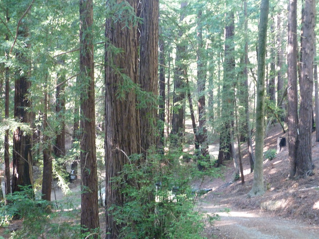 Terrace CreekHikingPhoto: S. Rae, CC BY 2.0 (via Flickr)2.8 mi
 Ewoldsen trailHikingPhoto: sergei.gussev, CC BY 2.0 (via Flickr)3.6 mi
 Pfeiffer Big Sur State Park CampgroundCampingPhoto: Slipshod Photog — CC BY 2.0 (via Flickr)5 mi
Source: Roamze catalog (indexable pages within 10 miles, PostGIS distance)
- Tan Bark TrailHiking · ~3 min drivePhoto: tdlucas5000, CC BY 2.0 (via Flickr)
- Waters TrailHiking · ~4 min drivePhoto: David Jones, CC BY 2.0 (via Flickr)
- Ewoldsen trailHiking · ~6 min drivePhoto: sergei.gussev, CC BY 2.0 (via Flickr)
 Pfeiffer Falls TrailHiking · ~9 min drivePhoto: Aleksandr Zykov, CC BY-SA 2.0 (via Flickr)
- De AnguloHiking · ~2 min drive
- Terrace CreekHiking · ~5 min drivePhoto: S. Rae, CC BY 2.0 (via Flickr)
 Black Cone TrailHiking · ~12 min drivePhoto: yargeritaville, CC0 (via Wikimedia Commons)
 Valley View TrailHiking · ~9 min drivePhoto: Roger Sylvia, CC BY-SA 3.0 (via Wikimedia Commons)
- Pine RidgeHiking · ~7 min drive
- Mt. ManuelHiking · ~8 min drivePhoto: Roger Sylvia, CC BY-SA 3.0 (via Wikimedia Commons)

Map and trail data © OpenStreetMap contributors
