Terrace Creek
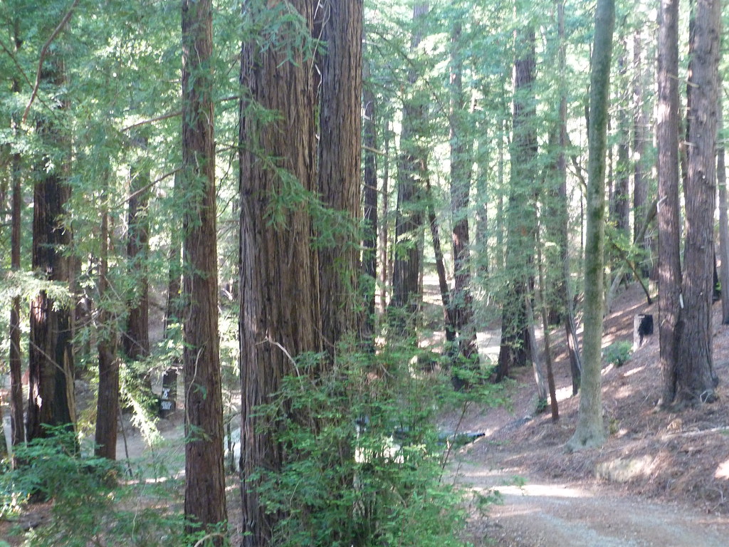 Photo: S. Rae, CC BY 2.0 (via Flickr)
- 2.8 mi
- round trip
- 1,183 ft
- climb
- 2,533 ft
- high point
- Out and back
- route
Is Terrace Creek open right now?
Closure in the area
There's a closure order in Monterey Ranger District. It doesn't name Terrace Creek, so check the source for the area it covers (2 listed).
Monterey Ranger District Timber Fire and Plaskett Fire Emergency Closure
Agency closure covering Monterey Ranger District · Order 05-07-51-26-12 · USFS · Monterey Ranger District
Monterey Ranger District Emergency Closure Order with Exceptions
Agency closure covering Monterey Ranger District · Order 05-07-51-26-11 · USFS · Monterey Ranger District
Los Padres Fire Use and Firearm Restrictions
Agency alert covering Los Padres National Forest · Order 05-07-00-26-05 · USFS · Los Padres National Forest
San Carpoforo Beach Prohibition of Overnight Camping and Campfires
Agency alert covering Monterey Ranger District · Order 05-07-51-26-03 · USFS · Monterey Ranger District
Santa Barbara Front Country Fire Use Restrictions
Agency alert covering Los Padres National Forest · Order 05-07-5406-01 · USFS · Los Padres National Forest
As of · Source: USFS · Monterey Ranger District. Agencies don't list every closure — check before you go.
Terrace Creek is an easy out-and-back hike in the Ventana Wilderness, part of the Monterey Ranger District of Los Padres National Forest in California. It is a natural-surfaced trail that carries horses, and the Forest Service lists it as not accessible. The trail is about 2.8 miles long and gains about 1,183 feet, starting at around 1,325 feet and reaching a high point of about 2,533 feet. It lies within designated wilderness, which makes it a natural choice for a day in the backcountry. Pine Ridge and Ventana Camp are both within about a mile and a half, and Post Creek Trail and Pfeiffer Big Sur State Park Campground are close by as well.
- Pine RidgeHiking1.1 mi
 Ventana CampHikingPhoto: ilya_ktsn, CC BY 2.0 (via Flickr)1.3 mi
- Post Creek TrailHiking1.8 mi
- Pine Ridge TrailHiking1.9 mi
 Mt. ManuelHikingPhoto: Roger Sylvia, CC BY-SA 3.0 (via Wikimedia Commons)2.1 mi
 Pfeiffer Big Sur State Park CampgroundCampingPhoto: Slipshod Photog — CC BY 2.0 (via Flickr)2.5 mi
- Buzzards Roost TrailHikingPhoto: Roger Sylvia, CC BY-SA 3.0 (via Wikimedia Commons)2.7 mi
- Little Sur RiverCanoeing7.9 mi
Source: Roamze catalog (indexable pages within 10 miles, PostGIS distance)
- Mt. ManuelHiking · ~4 min drivePhoto: Roger Sylvia, CC BY-SA 3.0 (via Wikimedia Commons)
- Valley View TrailHiking · ~5 min drivePhoto: Roger Sylvia, CC BY-SA 3.0 (via Wikimedia Commons)
 Tan Bark TrailHiking · ~8 min drivePhoto: tdlucas5000, CC BY 2.0 (via Flickr)
 Black Cone TrailHiking · ~10 min drivePhoto: yargeritaville, CC0 (via Wikimedia Commons)
 Waters TrailHiking · ~9 min drivePhoto: David Jones, CC BY 2.0 (via Flickr)
 Pfeiffer Falls TrailHiking · ~5 min drivePhoto: Aleksandr Zykov, CC BY-SA 2.0 (via Flickr)
- Pine RidgeHiking · ~2 min drive
 Ewoldsen trailHiking · ~11 min drivePhoto: sergei.gussev, CC BY 2.0 (via Flickr)
 Bear BasinHiking · ~12 min drivePhoto: yargeritaville, CC0 (via Wikimedia Commons)
 Coyote Flat TrailHiking · ~10 min drivePhoto: Roebot, CC BY-SA 2.0 (via Flickr)
