Lassen Peak Scenic Vista
 Photo: NPS
- 2.4 mi
- round trip
- 1,969 ft
- climb
- 10,436 ft
- high point
- Out and back
- route
Is Lassen Peak Scenic Vista open right now?
Closure in the area
There's a closure order in Lassen Volcanic National Park. It doesn't name Lassen Peak Scenic Vista, so check the source for the area it covers.
Lassen National Park Highway Closed to Vehicle Traffic
Park closure covering Lassen Volcanic National Park · NPS · Lassen Volcanic National Park
As of · Source: NPS · Lassen Volcanic National Park. Agencies don't list every closure — check before you go.
Lassen Peak Scenic Vista is the parking area and trailhead for the Lassen Peak Trail in Lassen Volcanic National Park, California. It makes a natural spot for a photo with Lassen Peak, which rises to 10,457 feet and is one of the world's largest plug dome volcanoes. The peak's eruptions between 1914 and 1917 were a driving force behind the park's creation. The hike is rated moderate and covers 2.41 miles one way, about 4.8 miles round trip as an out-and-back. It climbs roughly 2,000 feet one way, starting near 8,455 feet and topping out around 10,436 feet. You climb on the way up and descend on the way back. Snow patches can linger here well into summer, and they can last all year after winters with above-average snowpack. Sleds and other snow gear are welcome on the snow for as long as it lasts. An entrance fee applies. Nearby, the Bumpass Hell Trail and Brokeoff Volcano Vista are both about 0.7 miles away. The Peapod and Right climbing area is 0.6 miles off, and Rocky Knoll campground is about 3.2 miles away.
Conditions and forecast on Lassen Peak
Daily highs and lows, wind and the chance of precipitation at the summit and route start for the next 7 days, from the Open-Meteo model.
- Peapod and RightRock climbing0.6 mi
- Right of the Regular RouteRock climbing0.6 mi
- Left of PeapodRock climbing0.6 mi
 Bumpass Hell TrailHikingPhoto: Seth Tisue, CC BY-SA 2.0 (via Flickr)0.7 mi
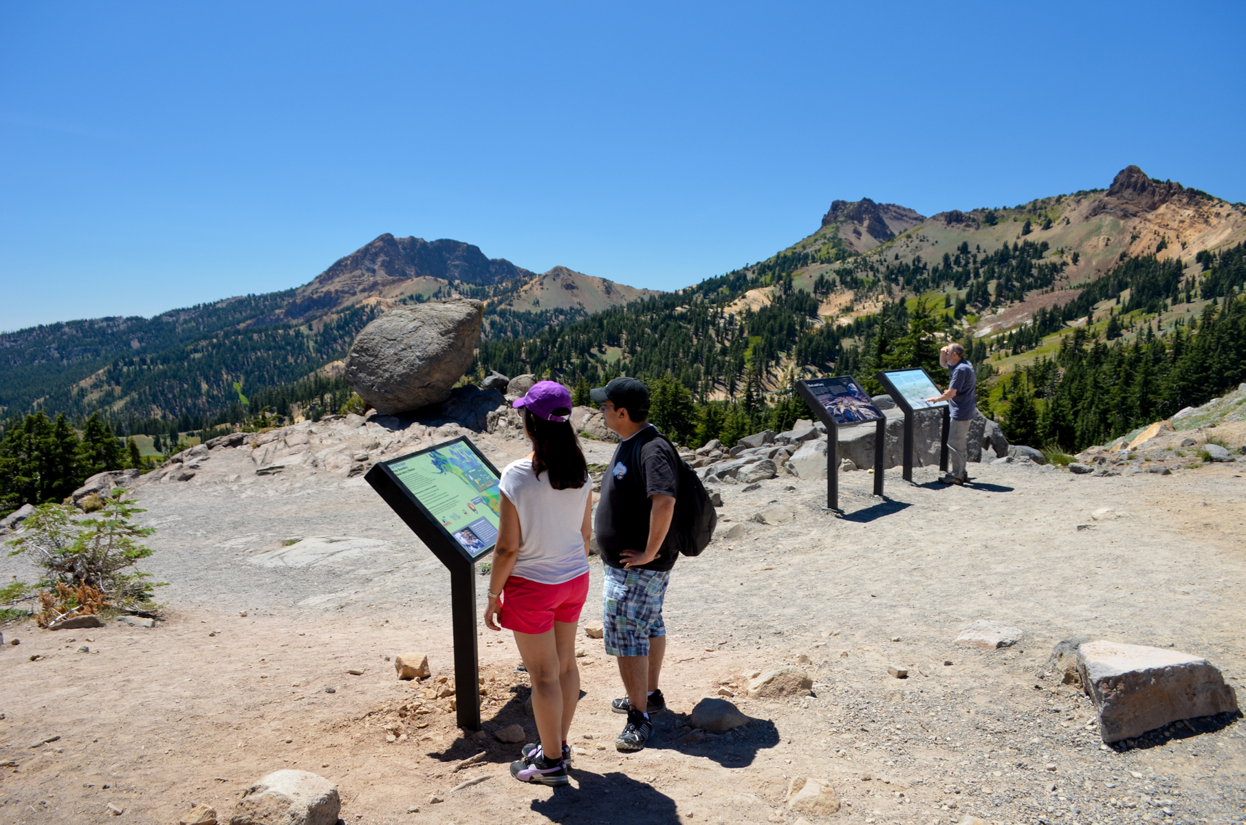 Brokeoff Volcano VistaHikingPhoto: NPS Photo0.7 mi
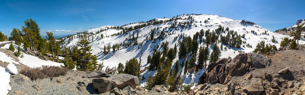 Paradise Meadows TrailHikingPhoto: RuggyBearLA, CC BY-SA 2.0 (via Flickr)1.4 mi
- Rocky KnollCamping3.2 mi
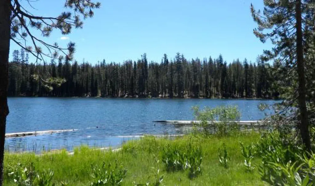 Summit Lake SouthCampingPhoto: Recreation.gov (RIDB) / public domain4.5 mi
Source: Roamze catalog (indexable pages within 10 miles, PostGIS distance)
- Bumpass Hell TrailHiking · ~1 min drivePhoto: Seth Tisue, CC BY-SA 2.0 (via Flickr)
- Brokeoff Volcano VistaHiking · ~1 min drive
 Bumpass Hell TrailHiking · ~2 min drivePhoto: CC BY 2.5 (via Wikimedia Commons)
 Bear Lakes TrailHiking · ~9 min drivePhoto: inkknife_2000 (7.5 million views +), CC BY-SA 2.0 (via Wikimedia Commons)
 Pacific Crest TrailHiking · ~9 min drivePhoto: inkknife_2000 (7.5 million views +), CC BY-SA 2.0 (via Wikimedia Commons)
 Cold Boiling Lake TrailHiking · ~3 min drivePhoto: Seth Tisue, CC BY-SA 2.0 (via Flickr)
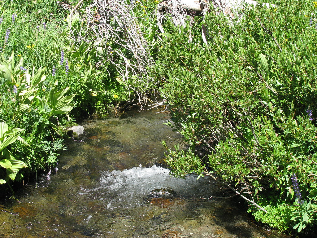 Summit Lake South CGHiking · ~8 min drivePhoto: wyldwest, CC BY 2.0 (via Flickr)
- Paradise Meadows TrailHiking · ~2 min drivePhoto: RuggyBearLA, CC BY-SA 2.0 (via Flickr)
- Brokeoff Mountain TrailHiking · ~6 min drive
- Kings Creek Meadow ViewpointHiking · ~4 min drive
Also worth it near here
 First and Second TerraceRock climbing · ~1 min drivePhoto: Daniel Schwen, CC BY-SA 2.5 (via Wikimedia Commons)
 Lassen PeakSummit · ~2 min drivePhoto: Frank Schulenburg, CC BY-SA 4.0 (via Wikimedia Commons)
 Bumpass HellHot spring · ~2 min drivePhoto: T1madpaintballer at English Wikipedia, Public domain (via Wikimedia Commons)
- Soda LakeLake fishing · ~3 min drive
Route details
- Distance
- 2.4 mi round trip
- Climbing
- About 1,969 ft
- Starts at
- Lassen Peak Trailhead (about 8,453 ft)
- Summit
- 10,450 ft
- Difficulty
- Moderate
Questions about this route
How long is the Lassen Peak Scenic Vista on Lassen Peak?
About 2.4 mi round trip from Lassen Peak Trailhead (about 8,453 ft).
How much elevation gain is on the Lassen Peak Scenic Vista?
About 1,969 ft of climbing round trip.
How hard is the Lassen Peak Scenic Vista?
It is rated moderate.
Where does the Lassen Peak Scenic Vista start?
Lassen Peak Trailhead (about 8,453 ft).
