Kings Creek Meadow Viewpoint
- 0.6 mi
- loop
- 82 ft
- climb
- 7,290 ft
- high point
- Loop
- route
- May–Oct
- best months
Is Kings Creek Meadow Viewpoint open right now?
Closure in the area
There's a closure order in Lassen Volcanic National Park. It doesn't name Kings Creek Meadow Viewpoint, so check the source for the area it covers.
Lassen National Park Highway Closed to Vehicle Traffic
Park closure covering Lassen Volcanic National Park · NPS · Lassen Volcanic National Park
As of · Source: NPS · Lassen Volcanic National Park. Agencies don't list every closure — check before you go.
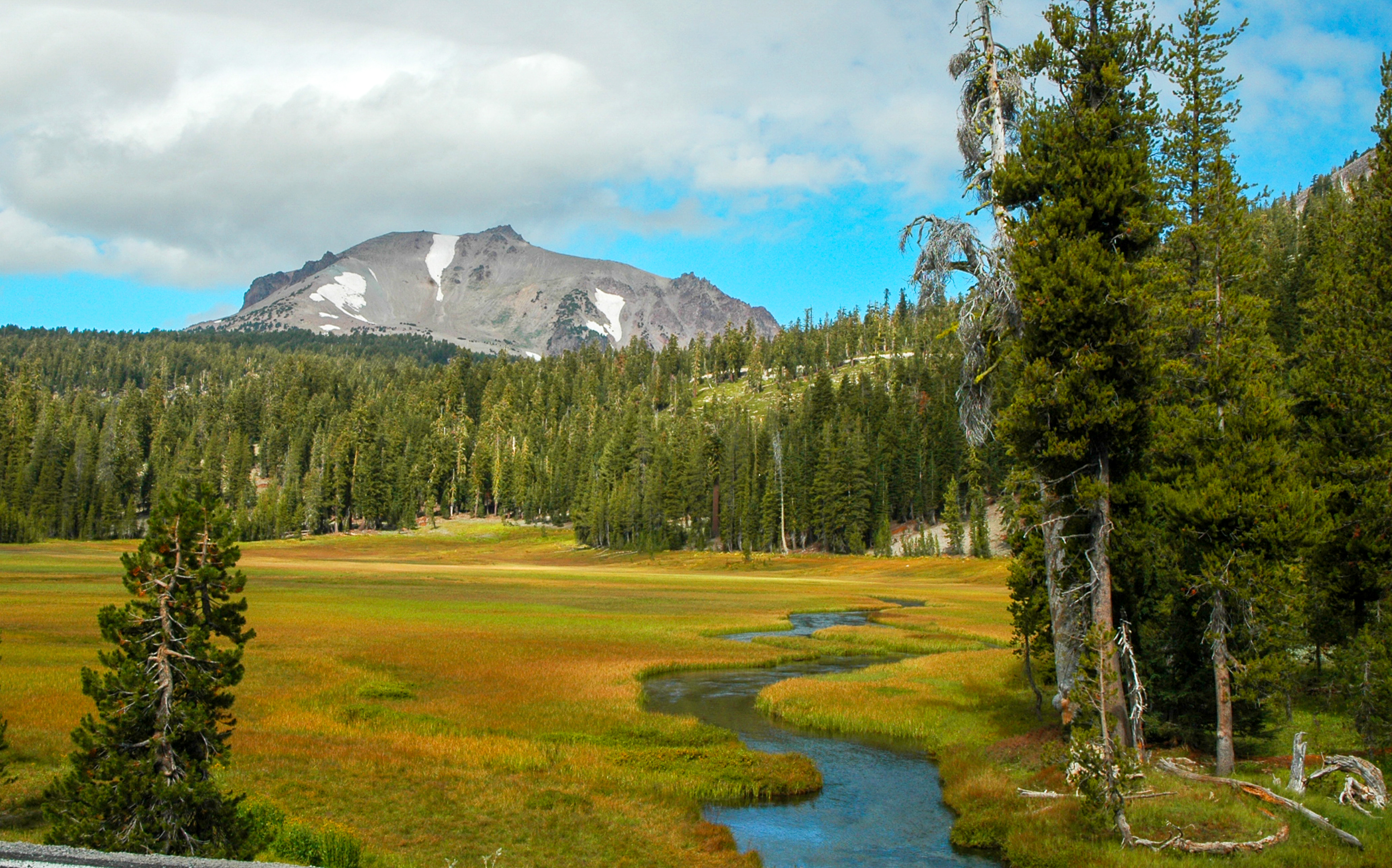
Outstanding views of Lassen Peak are visible from highway turnouts near Kings Creek Upper Meadow. This meadow is frequently photographed in its vibrant seasonal colors from the snowy white of spring to the golden hues of fall. Non-native trout species including brown and brook trout hide in the shadows of the winding creek and opportunistic eagles and hawks occasionally drop in for lunch. Black-tailed deer, golden-mantled ground squirrels, Clark’s Nutcracker, and black bear also frequent the meadow. Wildflowers Grow by the Inch and Die by the Foot You can both enjoy and protect the delicate vegetation that contributes to this picturesque meadow with simple choices like: • Enjoying flowers in fragile wet areas from afar • Resting or picnicking on hard surfaces • Leaving wildflowers for others to enjoy Year-Round Water Snow on Lassen Peak melts and seeps into a ground spring that feeds Kings Creek year-round. In the spring season, the deep snowpack within the meadow also slowly melts into Kings Creek and the surrounding watershed. Lassen Volcanic is comprised of four watersheds. Kings Creek supplies the Upper Feather Watershed which alone supplies approximately 3.2 million acre-feet per year for downstream water users. The quantity and quality of water from park watersheds are is threatened by overcrowded forests, degraded meadows, and a changing climate. Partnerships like the North Fork Feather River Headwaters Forest Restoration Project are crucial to addressing the landscape-level issue of watershed and forest health. Nearby Areas Kings Creek Picnic Area and Trailhead is located 1/2 mile north on the park highway via a short turnoff. The area includes picnic sites with charcoal disposal, pit toilets, and the trailhead to Cold Boiling Lake. This area can also be reached by foot via a short connector trail southwest of Upper Meadow. King’s Creek Falls Hiking Trailhead is located 1/4 mile south of here. Parking is limited at this popular trailhead and meadow turnouts often serve as overflow parking. The 3-mile round-trip loop includes a steep climb up cascades above Kings Creek Falls.
 Twin Meadows TrailHiking · ~1 min drivePhoto: Seth Tisue, CC BY-SA 2.0 (via Flickr)
 Cold Boiling Lake TrailHiking · ~1 min drivePhoto: Seth Tisue, CC BY-SA 2.0 (via Flickr)
- Brokeoff Volcano VistaHiking · ~4 min drive
 Pacific Crest TrailHiking · ~6 min drivePhoto: inkknife_2000 (7.5 million views +), CC BY-SA 2.0 (via Wikimedia Commons)
 Bear Lakes TrailHiking · ~7 min drivePhoto: inkknife_2000 (7.5 million views +), CC BY-SA 2.0 (via Wikimedia Commons)
- Crumbaugh Lake TrailHiking · ~1 min drivePhoto: Seth Tisue, CC BY-SA 2.0 (via Flickr)
 Sifford Lakes TrailHiking · ~2 min drivePhoto: NAParish, CC BY-SA 2.0 (via Flickr)
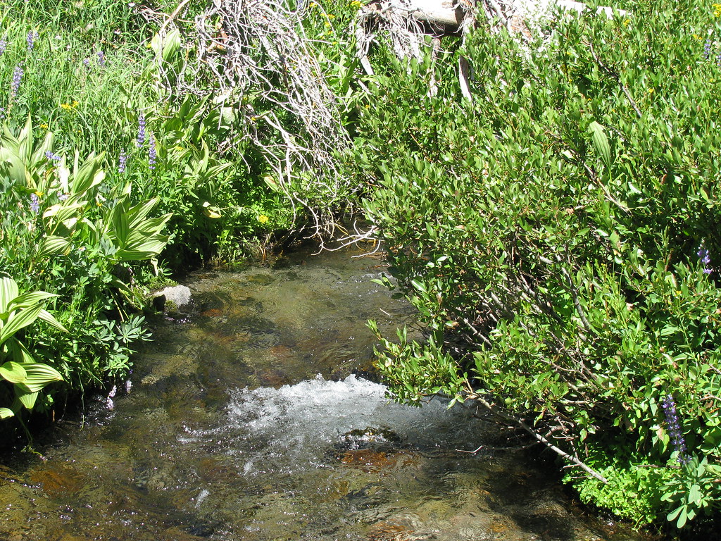 Summit Lake South CGHiking · ~6 min drivePhoto: wyldwest, CC BY 2.0 (via Flickr)
 SPENCER MEADOW LOOPHiking · ~10 min drivePhoto: Pacific Southwest Region 5, Public domain (via Wikimedia Commons)
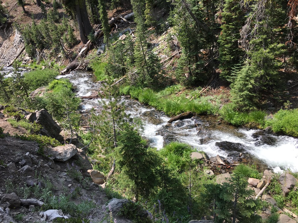 Horse LoopHiking · ~2 min drivePhoto: NAParish, CC BY-SA 2.0 (via Flickr)
Also worth it near here
- Kings Creek FallsWaterfall · ~2 min drive
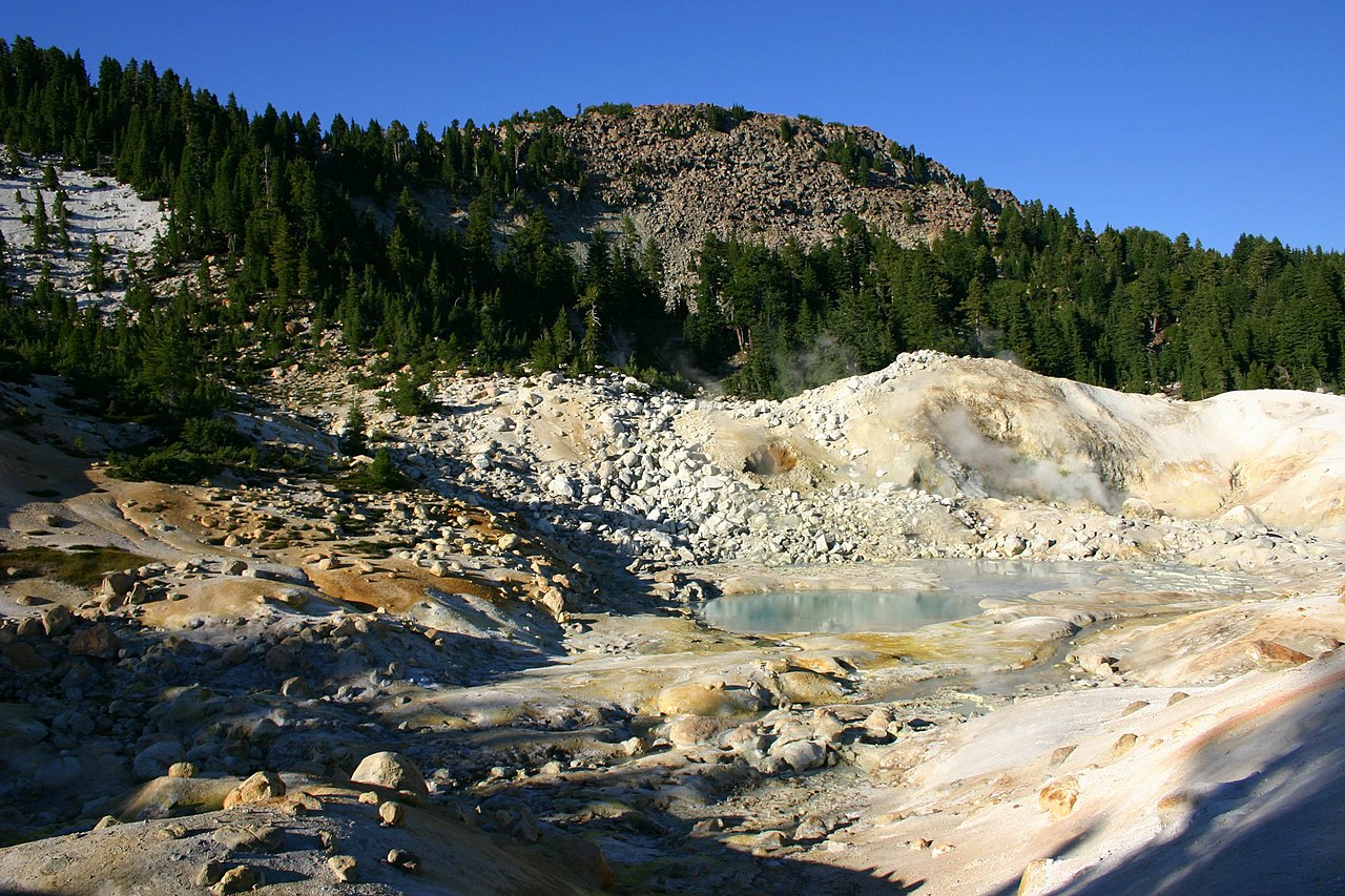 Bumpass MountainSummit · ~3 min drivePhoto: Genista Kai Schreiber, CC BY-SA 2.0 (via Wikimedia Commons)
 Bumpass HellHot spring · ~3 min drivePhoto: T1madpaintballer at English Wikipedia, Public domain (via Wikimedia Commons)
 First and Second TerraceRock climbing · ~5 min drivePhoto: Daniel Schwen, CC BY-SA 2.5 (via Wikimedia Commons)
Best time to visit Kings Creek Meadow Viewpoint
Best months: May–October. Best months have typical highs of 55–85 °F, lows of 30 °F or warmer (32 °F where the station doesn't record snow), at most one snowy day and no more than 12 wet days.
Jan
41° / 22°
Feb
42° / 22°
Mar
46° / 24°
Apr
50° / 27°
May
61° / 35°
Jun
70° / 41°
Jul
79° / 46°
Aug
78° / 45°
Sep
72° / 41°
Oct
59° / 33°
Nov
47° / 26°
Dec
39° / 22°
Typical high / low (°F) and days with rain or snow, 1991–2020. Measured at Manzanita Lake, CA, 8 mi away at 5,750 ft. The station sits about 1,500 ft lower than this place, so expect it a little cooler here. This station doesn't record snowfall. Source: NOAA NCEI U.S. Climate Normals 1991–2020.
