Twin Meadows Trail
 Photo: Seth Tisue, CC BY-SA 2.0 (via Flickr)
- 2.2 mi
- round trip
- 1,134 ft
- climb
- 7,464 ft
- high point
- Out and back
- route
Clear at last check
Weather is good · OpenWeather · checked 23 h ago
Is Twin Meadows Trail open right now?
Closure in the area
There's a closure order in Lassen Volcanic National Park. It doesn't name Twin Meadows Trail, so check the source for the area it covers.
Lassen National Park Highway Closed to Vehicle Traffic
Park closure covering Lassen Volcanic National Park · NPS · Lassen Volcanic National Park
As of · Source: NPS · Lassen Volcanic National Park. Agencies don't list every closure — check before you go.
Twin Meadows Trail is a moderate hike in Lassen Volcanic National Park in California, managed by the National Park Service. The route is 4.4 miles long and climbs to 7,464 feet, the high point, with a total gain of 1,134 feet over the whole trip. That makes it a back-loaded climb, with the steepest stretch at 1.3 miles, about 15%, and the trail starts at the high point before descending back down. The hike takes about two hours to complete. Two other trails, Cold Boiling Lake Trail and Crumbaugh Lake Trail, sit just 0.2 miles away. Bumpass Hell Trail is about 1.1 miles off, and the Lassen National Park climbing area is 0.6 miles away.
 Cold Boiling Lake TrailHikingPhoto: Seth Tisue, CC BY-SA 2.0 (via Flickr)0.2 mi
- Crumbaugh Lake TrailHikingPhoto: Seth Tisue, CC BY-SA 2.0 (via Flickr)0.2 mi
- Lassen National ParkRock climbing0.6 mi
 Bumpass Hell TrailHikingPhoto: CC BY 2.5 (via Wikimedia Commons)1.1 mi
- Peapod and RightRock climbing2.3 mi
- Left of PeapodRock climbing2.3 mi
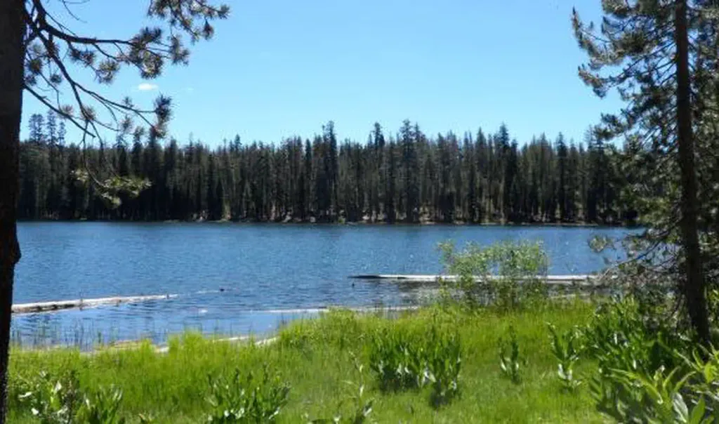 Summit Lake SouthCampingPhoto: Recreation.gov (RIDB) / public domain3.8 mi
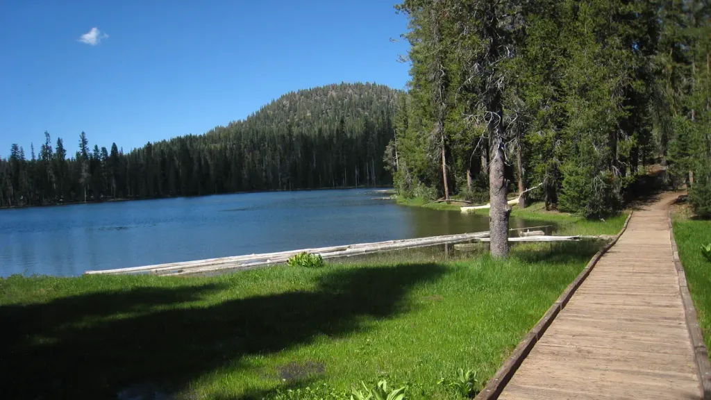 Summit Lake NorthCampingPhoto: Recreation.gov (RIDB) / public domain4 mi
Source: Roamze catalog (indexable pages within 10 miles, PostGIS distance)
- Cold Boiling Lake TrailHiking · Next doorPhoto: Seth Tisue, CC BY-SA 2.0 (via Flickr)
- Crumbaugh Lake TrailHiking · Next doorPhoto: Seth Tisue, CC BY-SA 2.0 (via Flickr)
- Brokeoff Volcano VistaHiking · ~3 min drive
 Pacific Crest TrailHiking · ~7 min drivePhoto: inkknife_2000 (7.5 million views +), CC BY-SA 2.0 (via Wikimedia Commons)
 Bear Lakes TrailHiking · ~8 min drivePhoto: inkknife_2000 (7.5 million views +), CC BY-SA 2.0 (via Wikimedia Commons)
- Kings Creek Meadow ViewpointHiking · ~1 min drive
- Bumpass Hell TrailHiking · ~2 min drivePhoto: CC BY 2.5 (via Wikimedia Commons)
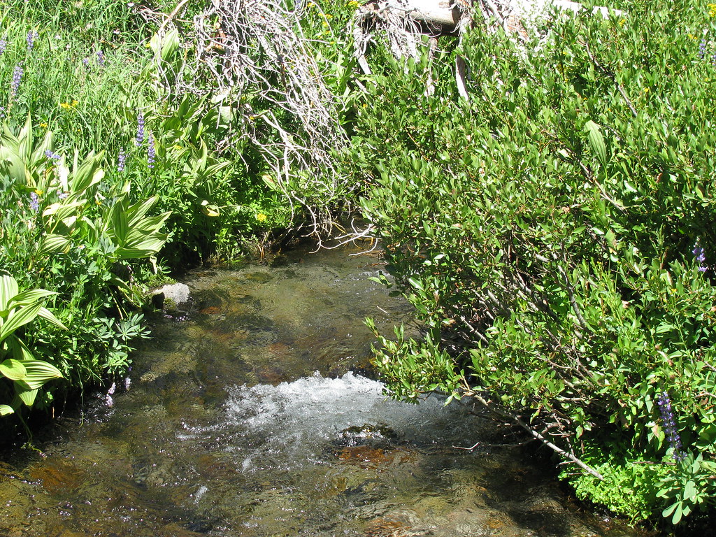 Summit Lake South CGHiking · ~7 min drivePhoto: wyldwest, CC BY 2.0 (via Flickr)
 SPENCER MEADOW LOOPHiking · ~10 min drivePhoto: Pacific Southwest Region 5, Public domain (via Wikimedia Commons)
 Sifford Lakes TrailHiking · ~3 min drivePhoto: NAParish, CC BY-SA 2.0 (via Flickr)
Also worth it near here
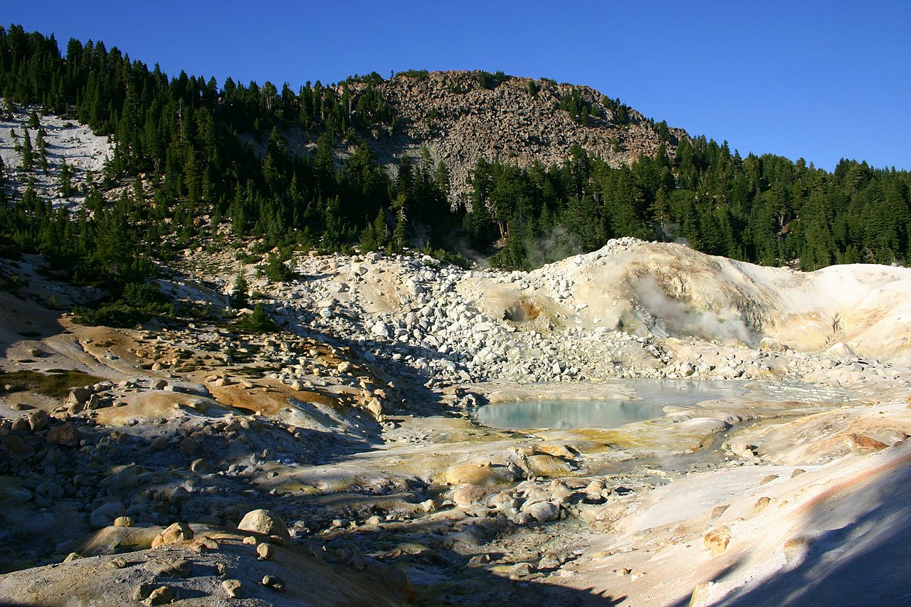 Bumpass MountainSummit · ~2 min drivePhoto: Genista Kai Schreiber, CC BY-SA 2.0 (via Wikimedia Commons)
 Bumpass HellHot spring · ~2 min drivePhoto: T1madpaintballer at English Wikipedia, Public domain (via Wikimedia Commons)
- Mill Creek FallsWaterfall · ~3 min drive
 First and Second TerraceRock climbing · ~4 min drivePhoto: Daniel Schwen, CC BY-SA 2.5 (via Wikimedia Commons)
Map and trail data © OpenStreetMap contributors
