Tehachapi Mountain Trail
- 4.2 mi
- round trip
- 2,986 ft
- climb
- 7,934 ft
- high point
- Out and back
- route
Tehachapi Mountain Trail is a hard hike in Tehachapi Mountain Park, on county land in California. The route is an out-and-back that starts at about 7,671 feet and climbs to a high point of 7,934 feet, with a total elevation gain of 2,986 feet over the course of the round trip. The one-way distance is about 4.2 miles, and the whole trip takes roughly 4.5 hours. The trail's climb is steep, and the route is rated hard. The low point on the way down sits at about 5,997 feet, so the hike is as much about the descent as the ascent. The Tehachapi Area climbing area lies less than a mile away. The Pacific Crest Nat Scenic Trail is about 5 miles off, and Warrior's Loop and Jane's Loop are each about 6.7 miles away.
Conditions and forecast on Tehachapi Mountain
Daily highs and lows, wind and the chance of precipitation at the summit and route start for the next 7 days, from the Open-Meteo model.
- Tehachapi AreaRock climbing0.9 mi
- Pacific Crest Nat Scenic TrailHiking5.2 mi
- Access TrailHiking6.5 mi
- Warrior's LoopHiking6.7 mi
- Jane's LoopHiking6.7 mi
- Carcass CutoffHiking6.7 mi
- Aimee's LoopHiking6.8 mi
- Upper Aimee's LoopHiking6.9 mi
Source: Roamze catalog (indexable pages within 10 miles, PostGIS distance)
 Deer TrailHiking · ~27 min drivePhoto: Terry Lucas, CC BY 3.0 (via Wikimedia Commons)
 Lightning Bolt TrailHiking · ~38 min drivePhoto: Dawn Endico from Menlo Park, California, CC BY-SA 2.0 (via Wikimedia Commons)
 Sandberg TrailHiking · ~43 min drivePhoto: Joe Decruyenaere, CC BY-SA 2.0 (via Wikimedia Commons)
- Pacific Crest Nat Scenic TrailHiking · ~9 min drive
 Cow TrailHiking · ~47 min drivePhoto: Joe Decruyenaere, CC BY-SA 2.0 (via Wikimedia Commons)
 Poppy Trail North LoopHiking · ~39 min drivePhoto: allan.cronin, CC BY-SA 2.0 (via Flickr)
- Pronghorn TrailHiking · ~47 min drivePhoto: Joe Decruyenaere, CC BY-SA 2.0 (via Wikimedia Commons)
- Liebel Peak TrailHiking · ~48 min drive
- Warrior's LoopHiking · ~11 min drive
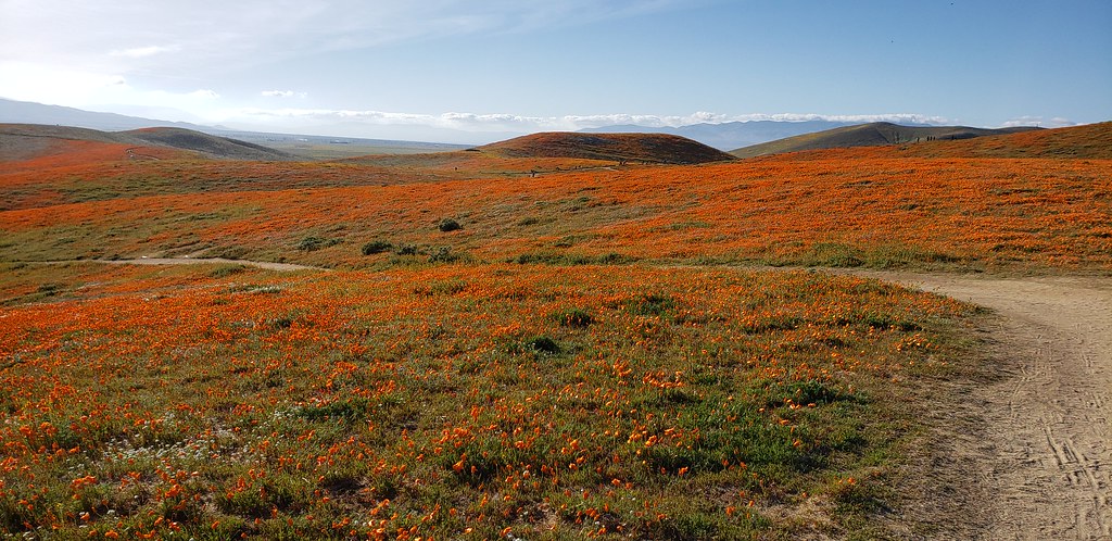 Antelope Trail North LoopHiking · ~39 min drivePhoto: Moo.The.Cow, CC BY 2.0 (via Flickr)

Route details
- Distance
- 4.2 mi round trip
- Climbing
- About 2,986 ft
- Summit
- 7,986 ft
- Difficulty
- Hard
- Time
- About 1.5 hours
Questions about this route
How long is the Tehachapi Mountain Trail on Tehachapi Mountain?
About 4.2 mi round trip.
How much elevation gain is on the Tehachapi Mountain Trail?
About 2,986 ft of climbing round trip.
How hard is the Tehachapi Mountain Trail?
It is rated hard.
How long does the Tehachapi Mountain Trail take?
About 1.5 hours round trip.
Map and trail data © OpenStreetMap contributors
