Boy Scout Trail Camp
Campground
Campground · 7.9 mi from the trail
 Photo: Dawn Endico from Menlo Park, California, CC BY-SA 2.0 (via Wikimedia Commons)
Lightning Bolt Trail is an easy out-and-back hike in the Antelope Valley California Poppy Reserve, a state park and recreation unit in California. The trail is about 1.5 miles long one way, with a total round-trip distance of about 3 miles. The route gains roughly 568 feet of elevation over the course of the round trip, with the steepest stretch at about the 1.3-mile mark, where the grade reaches 8%. The high point on the trail is 3,009 feet, and the low point is 2,797 feet. Spring and fall are the most comfortable times to visit. Typical averages from the Fairmont weather station, about 4 miles away, show April highs near 68°F and October highs near 77°F. Midsummer is much hotter, with July and August highs averaging in the low 90s. The hike takes about 1.5 hours. Antelope Butte Trail is just 0.6 miles away, and Ripley Rare Juniper Trail is about 6.5 miles off. The Lower Shake Trail and Upper Shake Trail are both within about 9 miles.
Boy Scout Trail Camp
Campground
Azteca Mexican Restaurant
Restaurant
 If it rainsAlan Wilson from Stilton, Peterborough, Cambs, UK, CC BY-SA 2.0 · Wikimedia Commons
Aviation museum in Palmdale, California, United States
Places © OpenStreetMap contributors · Photos: Alan Wilson from Stilton, Peterborough, Cambs, UK, CC BY-SA 2.0 (commons)
More in ActonDaily highs and lows, wind and the chance of precipitation at the summit and route start for the next 7 days, from the Open-Meteo model.
Antelope Butte TrailHikingPhoto: Dawn Endico from Menlo Park, California, CC BY-SA 2.0 (via Wikimedia Commons)0.6 miSource: Roamze catalog (indexable pages within 10 miles, PostGIS distance)
Antelope Butte TrailHiking · ~1 min drivePhoto: Dawn Endico from Menlo Park, California, CC BY-SA 2.0 (via Wikimedia Commons) Sandberg TrailHiking · ~32 min drivePhoto: Joe Decruyenaere, CC BY-SA 2.0 (via Wikimedia Commons)Antelope Trail South LoopHiking · ~1 min drivePhoto: Dawn Endico from Menlo Park, California, CC BY-SA 2.0 (via Wikimedia Commons)
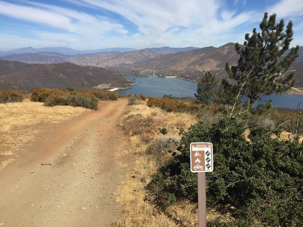 Artesian Springs TrailHiking · ~20 min drivePhoto: GSEC, CC BY 2.0 (via Flickr)
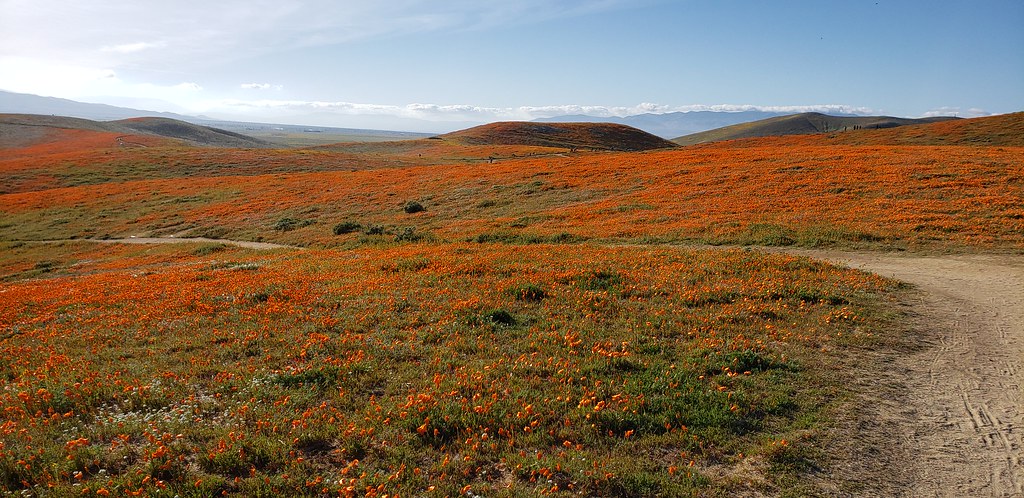 Antelope Trail North LoopHiking · ~2 min drivePhoto: Moo.The.Cow, CC BY 2.0 (via Flickr)
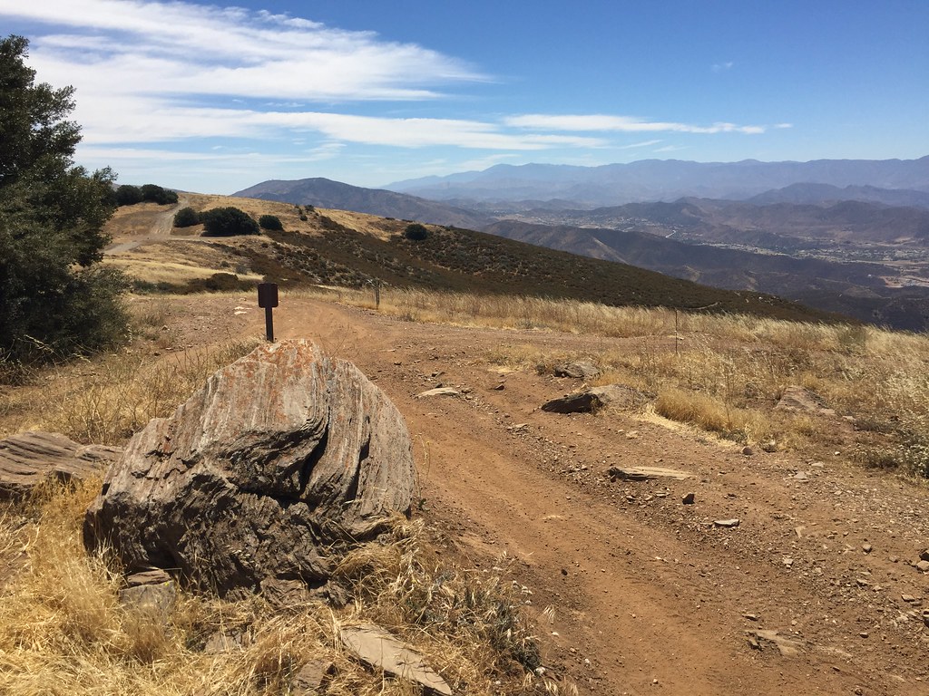 Lookout TrailHiking · ~22 min drivePhoto: GSEC, CC BY 2.0 (via Flickr)
Best months: October–May. Best months have typical highs of 55–85 °F, lows of 30 °F or warmer (32 °F where the station doesn't record snow), at most one snowy day and no more than 12 wet days.
Jan
56° / 38°
7 wet
Feb
58° / 39°
7 wet
Mar
63° / 43°
7 wet
Apr
68° / 46°
4 wet
May
76° / 53°
2 wet
Jun
86° / 62°
1 wet
Jul
92° / 68°
1 wet
Aug
93° / 68°
1 wet
Sep
88° / 62°
1 wet
Oct
77° / 53°
2 wet
Nov
65° / 44°
3 wet
Dec
55° / 37°
5 wet
Typical high / low (°F) and days with rain or snow, 1991–2020. Measured at Fairmont, CA, 3.9 mi away at 3,060 ft. This station doesn't record snowfall. Source: NOAA NCEI U.S. Climate Normals 1991–2020.
About 1.6 mi round trip.
About 568 ft of climbing round trip.
It is rated easy.
About 0.5 hours round trip.
Map and trail data © OpenStreetMap contributors

