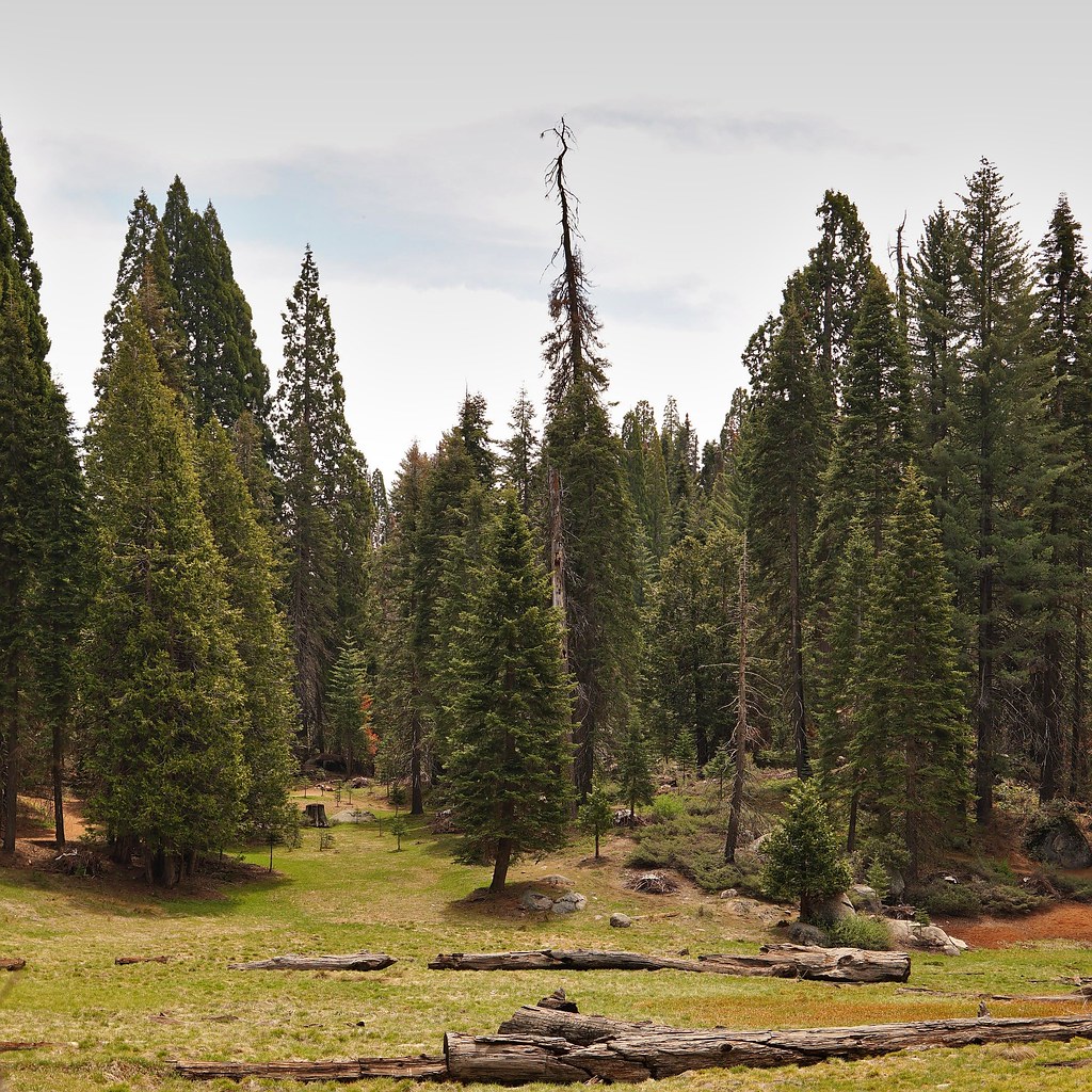
Sunset
 Photo: Juhele_CZ, Public Domain Dedication (CC0) (via Flickr)
- 1.7 mi
- round trip
- 504 ft
- climb
- 6,566 ft
- high point
- Out and back
- route
- May–Oct
- best months
Is Sunset open right now?
No closures listed
The National Park Service lists no closures for Kings Canyon National Park.
As of · Source: NPS · Kings Canyon National Park. Agencies don't list every closure — check before you go.
Sunset is an easy out-and-back hike of about 3.3 miles in Kings Canyon National Park, managed by the National Park Service. The trail rises from a low point of about 6,039 feet to a high of about 6,566 feet, with a total elevation gain of about 504 feet. The route is compact and gentle, making it a straightforward addition to a day spent exploring this corner of the park. Summer is the most comfortable time to go. Typical averages from a nearby weather station at Grant Grove, at a similar elevation, put July and August highs around 79°F with lows near 52°F and only about one wet day a month. Winter is cold, with January highs around 46°F and lows near 26°F. Several other outings sit close by. The Ella Falls and Azalea to Swale hikes are each about 0.4 miles away, Sunset Campground is about 0.6 miles off, and Grant Grove, a climbing area, is about 0.7 miles away.
Local outfitters
- Rainbow Pack Outfitters39 mi away
- Bishop Pack Outfitters39 mi away
Not on Roamze yet. Their page has how to reach them.
- Azalea to SwaleHikingPhoto: Juhele_CZ, Public Domain Dedication (CC0) (via Flickr)0.4 mi
 Ella FallsHikingPhoto: Dennis Heller, CC BY 2.0 (via Flickr)0.4 mi
- Swale-South BoundaryHikingPhoto: Dennis Heller, CC BY 2.0 (via Flickr)0.5 mi
 Sunset Campground (ca)CampingPhoto: Recreation.gov (RIDB) / public domain0.6 mi
- Grant GroveRock climbing0.7 mi
- Grouse MeadowCamping2.6 mi
- Hume LakeLake fishing5.5 mi
- Buck RockRock climbing6.3 mi
Source: Roamze catalog (indexable pages within 10 miles, PostGIS distance)
- Azalea to SwaleHiking · Next doorPhoto: Juhele_CZ, Public Domain Dedication (CC0) (via Flickr)
 AzaleaHiking · ~2 min drivePhoto: lewinb, CC BY-SA 2.0 (via Flickr)
- Cherry GapHiking · ~5 min drive
- KanawyerHiking · ~14 min drive
- Ella FallsHiking · Next doorPhoto: Dennis Heller, CC BY 2.0 (via Flickr)
 Redwood Canyon Hart TreeHiking · ~6 min drivePhoto: RuggyBearLA, CC BY 2.0 (via Flickr)
- Winter Trails in the Grant Grove AreaHiking · ~1 min drive
- Swale-South BoundaryHiking · Next doorPhoto: Dennis Heller, CC BY 2.0 (via Flickr)
 Redwood Canyon Sugar BowlHiking · ~6 min drivePhoto: RuggyBearLA, CC BY 2.0 (via Flickr)
- South BoundaryHiking · Next doorPhoto: Dennis Heller, CC BY 2.0 (via Flickr)
Best time to visit Sunset
Best months: May–October. Best months have typical highs of 55–85 °F, lows of 30 °F or warmer (32 °F where the station doesn't record snow), at most one snowy day and no more than 12 wet days.
Jan
46° / 26°
9 wet
Feb
46° / 25°
10 wet
Mar
48° / 27°
10 wet
Apr
52° / 30°
7 wet
May
60° / 38°
5 wet
Jun
71° / 46°
2 wet
Jul
79° / 52°
1 wet
Aug
79° / 52°
1 wet
Sep
73° / 47°
2 wet
Oct
63° / 39°
4 wet
Nov
53° / 32°
6 wet
Dec
46° / 25°
8 wet
Typical high / low (°F) and days with rain or snow, 1991–2020. Measured at Grant Grove, CA, 0.7 mi away at 6,580 ft. This station doesn't record snowfall. Source: NOAA NCEI U.S. Climate Normals 1991–2020.
