River Grove RV Park
Campground
Campground · 1.8 mi from the trail
Clear at last check
Weather is good · OpenWeather · checked 21 h ago
Mushroom Hunter / 420 is an easy mountain biking ride in Wilder Ranch State Park in California, about 2 miles from the town of Santa Cruz. The route is an out-and-back that gains about 140 feet over a round trip of roughly 3.8 miles, starting and ending at a low point of about 1,085 feet and reaching a high of about 1,237 feet. Spring and fall are the most comfortable times to ride. Typical averages from a nearby weather station show April highs around 75°F and October highs around 83°F, while July and August average in the low 90s. The station sits well below the trail, so temperatures on the higher parts of the route run cooler. Several other trails lie within a mile, including North Meadow Trail and Chinquapin Trail. The Santa Cruz climbing area is about a mile away, and the San Lorenzo River, roughly 5 miles off, offers paddling.
River Grove RV Park
Campground
 If it rainsMrwrite, CC BY-SA 3.0 · Wikimedia Commons
Places © OpenStreetMap contributors · Photos: Mrwrite, CC BY-SA 3.0 (commons)
More in PescaderoNot on Roamze yet. Their page has how to reach them.
 North Meadow TrailHikingPhoto: Alexander Hatley, CC BY 2.0 (via Flickr)0.6 mi
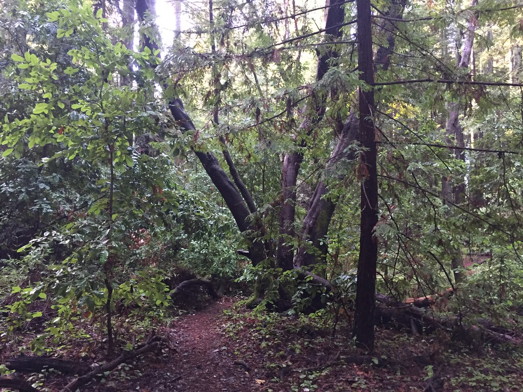 Chinquapin TrailHikingPhoto: fogcat5, CC BY-SA 2.0 (via Flickr)0.9 miWoodcutter's TrailHikingPhoto: fogcat5, CC BY-SA 2.0 (via Flickr)0.9 mi
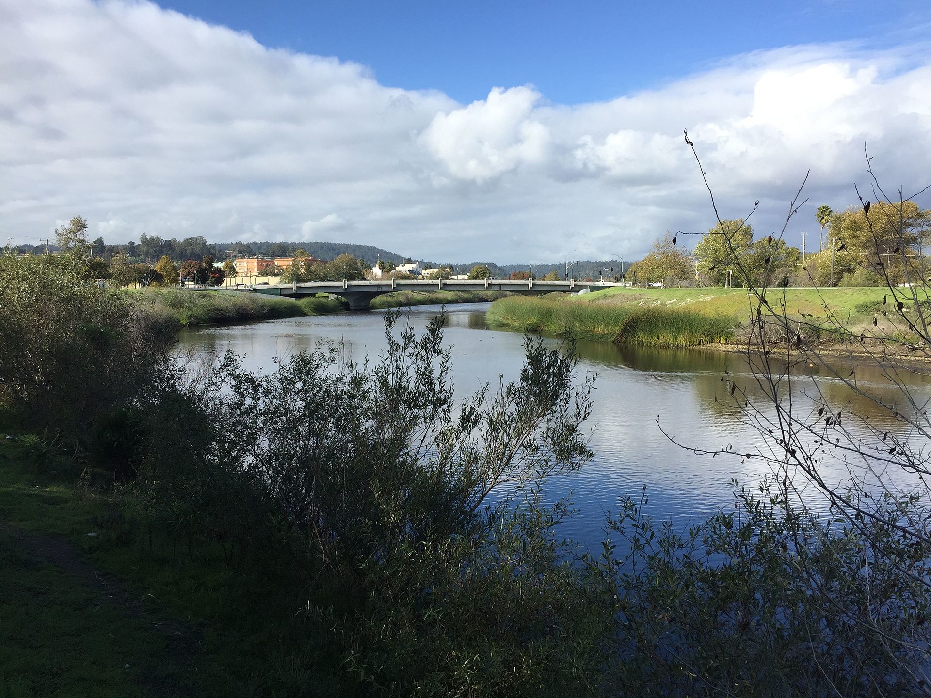 San Lorenzo RiverCanoeingPhoto: Chevy111, CC BY-SA 4.0 (via Wikimedia Commons)4.8 mi
Source: Roamze catalog (indexable pages within 10 miles, PostGIS distance)
 Goat Rock TrailMountain biking · ~24 min drivePhoto: Vadim Manuylov, CC BY-SA 3.0 (via Wikimedia Commons)
 Saratoga Gap TrailMountain biking · ~25 min drivePhoto: Vadim Manuylov, CC BY-SA 3.0 (via Wikimedia Commons)
 Summit Rock Loop TrailMountain biking · ~25 min drivePhoto: Vadim Manuylov, CC BY-SA 3.0 (via Wikimedia Commons)
Best months: October–June. Best months have typical highs of 55–85 °F, lows of 30 °F or warmer (32 °F where the station doesn't record snow), at most one snowy day and no more than 12 wet days.
Jan
65° / 37°
12 wet
Feb
67° / 39°
12 wet
Mar
71° / 40°
10 wet
Apr
75° / 42°
7 wet
May
80° / 46°
4 wet
Jun
85° / 49°
2 wet
Jul
88° / 51°
0 wet
Aug
90° / 51°
1 wet
Sep
89° / 49°
1 wet
Oct
83° / 44°
4 wet
Nov
71° / 40°
8 wet
Dec
64° / 37°
12 wet
Typical high / low (°F) and days with rain or snow, 1991–2020. Measured at Ben Lomond #4, CA, 4.2 mi away at 420 ft. The station sits about 800 ft lower than this place, so expect it a little cooler here. Source: NOAA NCEI U.S. Climate Normals 1991–2020.
Map and trail data © OpenStreetMap contributors
